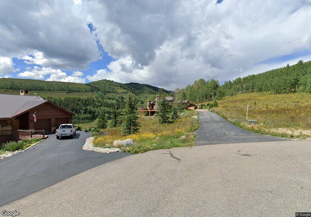
33 Quartz Cir Crested Butte, CO 81224
Estimated Value: $3,369,000 - $4,185,000
5
Beds
5
Baths
3,212
Sq Ft
$1,182/Sq Ft
Est. Value
About This Home
This home is located at 33 Quartz Cir, Crested Butte, CO 81224 and is currently estimated at $3,796,099, approximately $1,181 per square foot. 33 Quartz Cir is a home with nearby schools including Gunnison Elementary School, Crested Butte Community School, and Gunnison Middle School.
Ownership History
Date
Name
Owned For
Owner Type
Purchase Details
Closed on
Nov 1, 2018
Sold by
Baker Ronald R and Baker Ruh M
Bought by
Harrison Jeffrey S and Harrison Kay D
Current Estimated Value
Purchase Details
Closed on
Oct 10, 2008
Sold by
Baker Ronald R and Baker Ruth M
Bought by
Baker Ronald K and Baker Ruth M
Purchase Details
Closed on
Aug 10, 2005
Sold by
Vandervelde David A and Vandervelde Lori R
Bought by
Baker Family Trust
Purchase Details
Closed on
Jun 6, 1996
Create a Home Valuation Report for This Property
The Home Valuation Report is an in-depth analysis detailing your home's value as well as a comparison with similar homes in the area
Home Values in the Area
Average Home Value in this Area
Purchase History
| Date | Buyer | Sale Price | Title Company |
|---|---|---|---|
| Harrison Jeffrey S | $1,850,000 | Land Title Guarantee Company | |
| Baker Ronald K | -- | Chicago Title Company | |
| Baker Ronald R | -- | Chicago Title Company | |
| Baker Family Trust | $1,825,000 | None Available | |
| -- | $161,000 | -- |
Source: Public Records
Tax History Compared to Growth
Tax History
| Year | Tax Paid | Tax Assessment Tax Assessment Total Assessment is a certain percentage of the fair market value that is determined by local assessors to be the total taxable value of land and additions on the property. | Land | Improvement |
|---|---|---|---|---|
| 2024 | $15,591 | $235,190 | $31,660 | $203,530 |
| 2023 | $15,437 | $231,510 | $31,170 | $200,340 |
| 2022 | $10,512 | $136,560 | $17,720 | $118,840 |
| 2021 | $9,322 | $140,490 | $18,230 | $122,260 |
| 2020 | $8,055 | $117,770 | $16,950 | $100,820 |
| 2019 | $7,878 | $117,770 | $16,950 | $100,820 |
Source: Public Records
Map
Nearby Homes
- 315 Par Ln
- 412 Ridge Rd
- 350 Country Club Dr Unit 217A
- 350 Country Club Dr Unit 218A
- 350 Country Club Dr Unit 402A
- 262 Larkspur Loop
- 365 Larkspur Loop
- 77 S Avion Dr
- 115 Larkspur Loop
- 402 Eagle Ln
- 44 County Road 738a Brush Creek Rd
- 434 Country Club Dr
- 42 Lexie Ct
- 136 N Avion Dr
- 166 & 168 Coyote Cir
- 0 Tbd Saddle Ridge Rd
- 163 N Avion Dr
- 360 Wapiti Ln
- 1665 Skyland Dr
- 204 N Avion Dr
- 0 Bifano Rd Unit 767283
- 0 Bifano Rd Unit 765551
- 0 Bifano Rd Unit 764694
- 0 Bifano Rd Unit 753115
- 0 Bifano Rd Unit 752386
- 0 Bifano Rd Unit 751020
- 0 Bifano Rd Unit 750550
- TBD Schofield
- 0 9th & 10th (Irwin) St Unit 806558
- 948 Ridge Rd
- 416 Par Ln
- 371 Par Ln
- 457 Par Ln
- 0 Par Ln Unit on 1st Fariway of go
- 0 Par Ln Unit On 4th green of Robe
- 0 Par Ln Unit On 3rd green of Robe
- 0 Par Ln Unit 2171
- 0 Par Ln Unit Par Lane Townhomes a
- 0 Par Ln Unit 2 13068
- 0 Par Ln Unit 3479