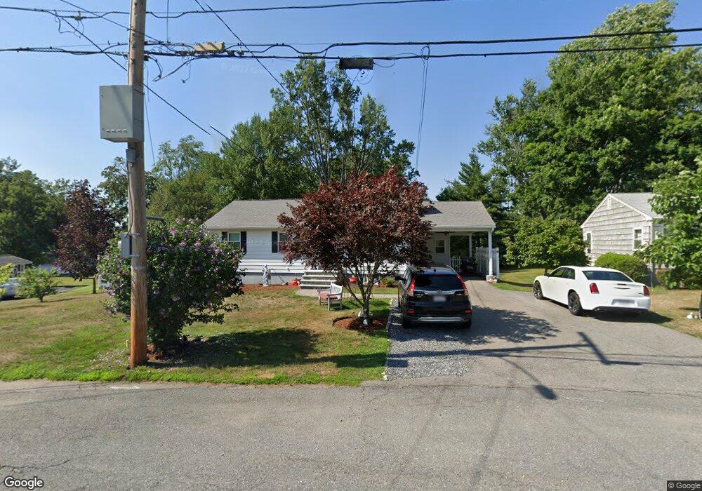
33 Ransom Rd Framingham, MA 01702
Estimated Value: $564,225 - $642,000
3
Beds
2
Baths
1,464
Sq Ft
$413/Sq Ft
Est. Value
About This Home
This home is located at 33 Ransom Rd, Framingham, MA 01702 and is currently estimated at $604,306, approximately $412 per square foot. 33 Ransom Rd is a home located in Middlesex County with nearby schools including Framingham High School, Pincushion Hill Montessori School, and Saint Bridget School.
Ownership History
Date
Name
Owned For
Owner Type
Purchase Details
Closed on
Mar 5, 1999
Sold by
Moscatelli Theresa Est and Delmonte
Bought by
Parks William K and Parks Ermine
Current Estimated Value
Home Financials for this Owner
Home Financials are based on the most recent Mortgage that was taken out on this home.
Original Mortgage
$145,000
Outstanding Balance
$35,123
Interest Rate
6.76%
Mortgage Type
Purchase Money Mortgage
Estimated Equity
$569,183
Create a Home Valuation Report for This Property
The Home Valuation Report is an in-depth analysis detailing your home's value as well as a comparison with similar homes in the area
Home Values in the Area
Average Home Value in this Area
Purchase History
| Date | Buyer | Sale Price | Title Company |
|---|---|---|---|
| Parks William K | $165,000 | -- |
Source: Public Records
Mortgage History
| Date | Status | Borrower | Loan Amount |
|---|---|---|---|
| Open | Parks William K | $15,000 | |
| Open | Parks William K | $145,000 |
Source: Public Records
Tax History
| Year | Tax Paid | Tax Assessment Tax Assessment Total Assessment is a certain percentage of the fair market value that is determined by local assessors to be the total taxable value of land and additions on the property. | Land | Improvement |
|---|---|---|---|---|
| 2025 | $6,524 | $546,400 | $252,500 | $293,900 |
| 2024 | $6,355 | $510,000 | $225,200 | $284,800 |
| 2023 | $5,985 | $457,200 | $198,000 | $259,200 |
| 2022 | $4,880 | $355,200 | $179,800 | $175,400 |
| 2021 | $4,749 | $338,000 | $172,800 | $165,200 |
| 2020 | $4,668 | $311,600 | $151,800 | $159,800 |
| 2019 | $4,534 | $294,800 | $147,500 | $147,300 |
| 2018 | $4,444 | $272,300 | $140,200 | $132,100 |
| 2017 | $4,358 | $260,800 | $135,900 | $124,900 |
| 2016 | $4,253 | $244,700 | $135,900 | $108,800 |
| 2015 | $4,125 | $231,500 | $135,900 | $95,600 |
Source: Public Records
Map
Nearby Homes
- 15 Bellmore Rd
- 12 & 14 Waverly St
- 45 Daytona Ave
- 10 Rhubena St
- 1116 Waverley
- 768 Waverley St
- 34 Jodie Rd
- 11 Harmony Ln
- 14 Travis Dr
- 37 Riverview Dr
- 120 Franklin St
- 81 Edgewater Dr
- 87 Hilldale Rd
- 69 Gilbert St
- 292 Hollis St
- 29 Gordon St Unit 107
- 33 Stevens Rd
- 25 Eames St
- 20 Mulhall Dr
- 92 Alexander St
Your Personal Tour Guide
Ask me questions while you tour the home.