33 Richardson Rd Hudson, MA 01749
Estimated Value: $606,565 - $679,000
3
Beds
2
Baths
1,555
Sq Ft
$417/Sq Ft
Est. Value
About This Home
This home is located at 33 Richardson Rd, Hudson, MA 01749 and is currently estimated at $648,141, approximately $416 per square foot. 33 Richardson Rd is a home located in Middlesex County with nearby schools including David J. Quinn Middle School, Hudson High School, and First Steps Children's Center.
Ownership History
Date
Name
Owned For
Owner Type
Purchase Details
Closed on
Jul 15, 2005
Sold by
Holm Rhoda B
Bought by
Lundberg Brian and Lundberg Theresa
Current Estimated Value
Home Financials for this Owner
Home Financials are based on the most recent Mortgage that was taken out on this home.
Original Mortgage
$213,500
Interest Rate
5.67%
Mortgage Type
Purchase Money Mortgage
Create a Home Valuation Report for This Property
The Home Valuation Report is an in-depth analysis detailing your home's value as well as a comparison with similar homes in the area
Home Values in the Area
Average Home Value in this Area
Purchase History
| Date | Buyer | Sale Price | Title Company |
|---|---|---|---|
| Lundberg Brian | $305,000 | -- | |
| Lundberg Brian | $305,000 | -- |
Source: Public Records
Mortgage History
| Date | Status | Borrower | Loan Amount |
|---|---|---|---|
| Open | Lundberg Brian | $208,000 | |
| Closed | Lundberg Brian | $213,500 |
Source: Public Records
Tax History Compared to Growth
Tax History
| Year | Tax Paid | Tax Assessment Tax Assessment Total Assessment is a certain percentage of the fair market value that is determined by local assessors to be the total taxable value of land and additions on the property. | Land | Improvement |
|---|---|---|---|---|
| 2025 | $6,933 | $499,500 | $183,200 | $316,300 |
| 2024 | $6,635 | $473,900 | $166,500 | $307,400 |
| 2023 | $6,227 | $426,500 | $160,100 | $266,400 |
| 2022 | $5,725 | $361,000 | $145,500 | $215,500 |
| 2021 | $5,670 | $341,800 | $138,600 | $203,200 |
| 2020 | $5,632 | $339,100 | $135,900 | $203,200 |
| 2019 | $5,305 | $311,500 | $135,900 | $175,600 |
| 2018 | $5,122 | $292,800 | $129,500 | $163,300 |
| 2017 | $4,975 | $284,300 | $123,300 | $161,000 |
| 2016 | $4,634 | $268,000 | $123,300 | $144,700 |
| 2015 | $4,264 | $246,900 | $123,300 | $123,600 |
| 2014 | $4,144 | $237,900 | $108,000 | $129,900 |
Source: Public Records
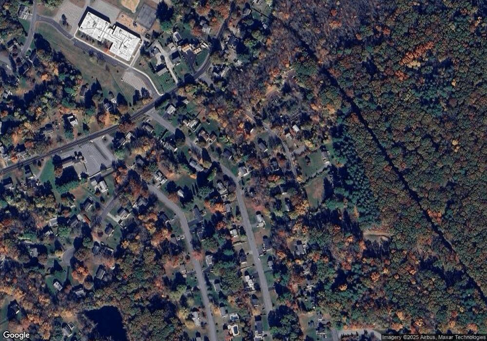
Map
Nearby Homes
- 7 Old North Rd
- 425 Main St Unit 11B
- 18 Collins Dr
- 304 Cox St
- 16 Abigail Dr
- 56 Forest Ave
- 9 & 9A Abigail
- 7e Strawberry Ln Unit E
- 26 Marychris Dr
- 34 Forest Ave
- 28 Pierce St
- 11 Barracks Rd Unit 11
- 9 Barracks Rd Unit 9
- 3 Barracks Rd Unit 3
- 7 Barracks Rd Unit 7
- 5 Barracks Rd Unit 5
- 24 Seneca Dr
- 248 Main St Unit 207
- 248 Main St Unit 216
- 2 Edith Rd
- 37 Richardson Rd
- 35 Richardson Rd
- 9 Old North Rd
- 9 North Rd
- 11 North Rd
- 11 Old North Rd
- 34 Richardson Rd
- 9 Old Rd N
- 11 Old Rd N
- 32 Richardson Rd
- 13 Old North Rd
- Unit 6 18-24 River St Unit 6
- Lot 16 Coolidge Greene
- Lot 13 Coolidge Greene
- Lot 12A Judith-Lauren Heights
- Lot 14 Coolidge Greene
- 31 Richardson Rd
- 15 Old North Rd
- 39 Richardson Rd
- 25 John Robinson Dr