33 Robin Shore Dr Canterbury, NH 03224
Estimated Value: $290,695 - $335,000
3
Beds
1
Bath
799
Sq Ft
$394/Sq Ft
Est. Value
About This Home
This home is located at 33 Robin Shore Dr, Canterbury, NH 03224 and is currently estimated at $314,924, approximately $394 per square foot. 33 Robin Shore Dr is a home with nearby schools including Canterbury Elementary School, Belmont Middle School, and Belmont High School.
Ownership History
Date
Name
Owned For
Owner Type
Purchase Details
Closed on
Nov 13, 2007
Sold by
Plante Gerard B and Plante Virginia C
Bought by
Bruckler Carolyn C and Bruckler Peter J
Current Estimated Value
Home Financials for this Owner
Home Financials are based on the most recent Mortgage that was taken out on this home.
Original Mortgage
$180,000
Outstanding Balance
$114,415
Interest Rate
6.47%
Mortgage Type
Purchase Money Mortgage
Estimated Equity
$200,509
Create a Home Valuation Report for This Property
The Home Valuation Report is an in-depth analysis detailing your home's value as well as a comparison with similar homes in the area
Home Values in the Area
Average Home Value in this Area
Purchase History
| Date | Buyer | Sale Price | Title Company |
|---|---|---|---|
| Bruckler Carolyn C | $180,000 | -- |
Source: Public Records
Mortgage History
| Date | Status | Borrower | Loan Amount |
|---|---|---|---|
| Open | Bruckler Carolyn C | $180,000 |
Source: Public Records
Tax History Compared to Growth
Tax History
| Year | Tax Paid | Tax Assessment Tax Assessment Total Assessment is a certain percentage of the fair market value that is determined by local assessors to be the total taxable value of land and additions on the property. | Land | Improvement |
|---|---|---|---|---|
| 2024 | $3,998 | $176,300 | $108,800 | $67,500 |
| 2023 | $3,702 | $176,300 | $108,800 | $67,500 |
| 2022 | $3,667 | $176,300 | $108,800 | $67,500 |
| 2021 | $3,616 | $176,300 | $108,800 | $67,500 |
| 2020 | $2,891 | $104,800 | $54,100 | $50,700 |
| 2019 | $2,921 | $104,800 | $54,100 | $50,700 |
| 2018 | $2,785 | $104,800 | $54,100 | $50,700 |
| 2017 | $2,723 | $104,800 | $54,100 | $50,700 |
| 2016 | $2,615 | $104,800 | $54,100 | $50,700 |
| 2015 | $2,799 | $105,400 | $57,900 | $47,500 |
| 2014 | $2,851 | $105,400 | $57,900 | $47,500 |
| 2013 | $2,755 | $105,400 | $57,900 | $47,500 |
Source: Public Records
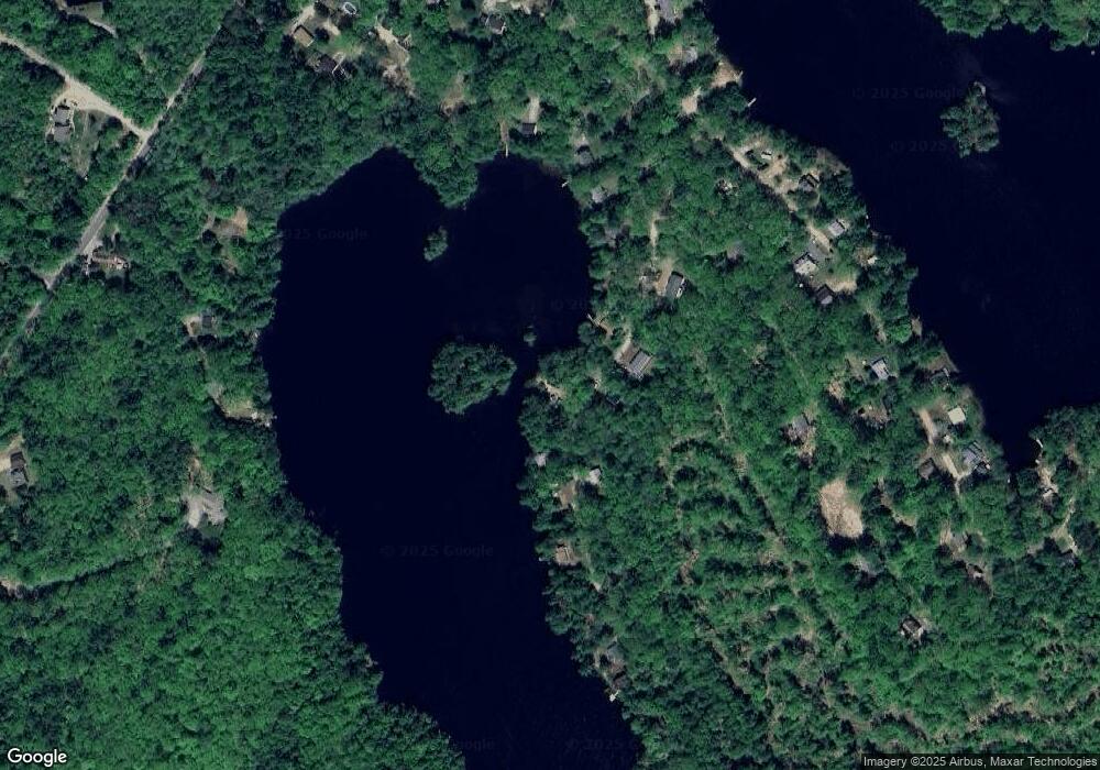
Map
Nearby Homes
- 18 Robin Shore Dr
- 19 Sherwood Forest Dr
- 590 Shaker Rd
- 445 Payson Rd
- 23 Canterbury Crossing
- 18 Shady Ln
- 445 Shaker Rd
- 0 Polly Ham Rd
- 0 Knowles Pond Rd Unit 5062744
- 14 Wareing Rd
- 17 Eero Dr
- 32 Flintlock Cir
- 162 Main St
- Map 132 Lot 115 Arrowhead Ln
- 57 Depot St
- 50 Depot St
- 17 Lilac Ln
- 22 Great Brook Dr
- 8 Lilac Ln
- 22 Saint Joseph Dr
- 34 Robin Shore Dr
- 35 Robin Shore Dr
- 32 Robin Shore Dr
- 36 Robin Shore Dr
- 29 Robin Shore Dr
- 28 Robin Shore Dr
- 25 Robin Shore Dr
- 39 Robin Shore Dr
- 23 Robin Shore Dr
- 42 Robin Shore Dr
- 9 Friar Tuck Rd
- 2 Friar Tuck Rd
- 19 Robin Shore Dr
- 4 Friar Tuck Rd
- 6 Friar Tuck Rd
- 24 Robin Shore Dr
- 43 Robin Shore Dr
- 13 Friar Tuck Rd
- 15 Robin Shore Dr
- 8 Friar Tuck Rd