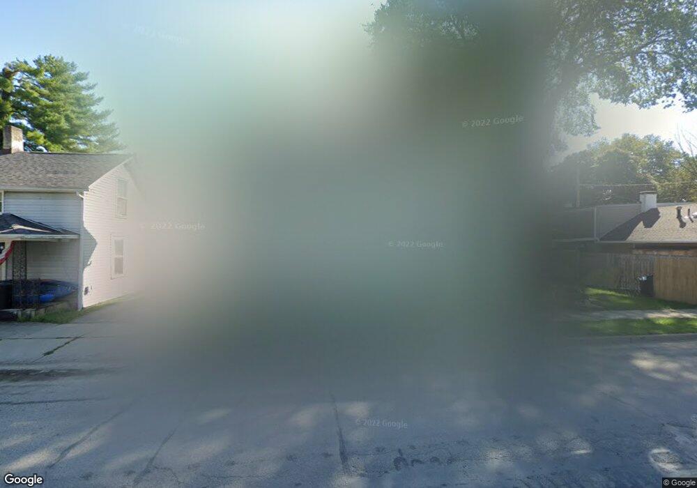
33 S Main St Bellbrook, OH 45305
Estimated Value: $126,000 - $208,000
4
Beds
2
Baths
2,098
Sq Ft
$80/Sq Ft
Est. Value
About This Home
This home is located at 33 S Main St, Bellbrook, OH 45305 and is currently estimated at $168,876, approximately $80 per square foot. 33 S Main St is a home located in Greene County with nearby schools including Bell Creek Intermediate School, Stephen Bell Elementary School, and Bellbrook Middle School.
Ownership History
Date
Name
Owned For
Owner Type
Purchase Details
Closed on
Jul 19, 2022
Sold by
White Charles J
Bought by
Double E Properties Llc
Current Estimated Value
Home Financials for this Owner
Home Financials are based on the most recent Mortgage that was taken out on this home.
Original Mortgage
$58,000
Outstanding Balance
$55,131
Interest Rate
5.78%
Mortgage Type
New Conventional
Estimated Equity
$113,745
Purchase Details
Closed on
Oct 26, 2000
Sold by
Trustees Wolff Peter Herman & Jeanette Louis
Bought by
Pierce Darlene
Home Financials for this Owner
Home Financials are based on the most recent Mortgage that was taken out on this home.
Original Mortgage
$68,000
Interest Rate
7.87%
Mortgage Type
Commercial
Purchase Details
Closed on
Mar 10, 1999
Sold by
Pierce Dennis A
Bought by
Pierce Darlene
Create a Home Valuation Report for This Property
The Home Valuation Report is an in-depth analysis detailing your home's value as well as a comparison with similar homes in the area
Home Values in the Area
Average Home Value in this Area
Purchase History
| Date | Buyer | Sale Price | Title Company |
|---|---|---|---|
| Double E Properties Llc | $83,349 | Reimer Law Co | |
| Pierce Darlene | $52,500 | -- | |
| Pierce Darlene | -- | -- |
Source: Public Records
Mortgage History
| Date | Status | Borrower | Loan Amount |
|---|---|---|---|
| Open | Double E Properties Llc | $58,000 | |
| Previous Owner | Pierce Darlene | $68,000 |
Source: Public Records
Tax History
| Year | Tax Paid | Tax Assessment Tax Assessment Total Assessment is a certain percentage of the fair market value that is determined by local assessors to be the total taxable value of land and additions on the property. | Land | Improvement |
|---|---|---|---|---|
| 2025 | $3,246 | $52,500 | $8,110 | $44,390 |
| 2024 | $3,246 | $52,500 | $8,110 | $44,390 |
| 2023 | $3,255 | $57,930 | $8,110 | $49,820 |
| 2022 | $3,023 | $40,770 | $6,760 | $34,010 |
| 2021 | $3,046 | $40,770 | $6,760 | $34,010 |
| 2020 | $3,067 | $40,770 | $6,760 | $34,010 |
| 2019 | $3,203 | $41,610 | $7,210 | $34,400 |
| 2018 | $3,475 | $41,610 | $7,210 | $34,400 |
| 2017 | $2,657 | $41,610 | $7,210 | $34,400 |
| 2016 | $2,658 | $36,790 | $7,210 | $29,580 |
| 2015 | $2,666 | $36,790 | $7,210 | $29,580 |
| 2014 | $3,013 | $36,790 | $7,210 | $29,580 |
Source: Public Records
Map
Nearby Homes
- 0 W Franklin St
- 1667 Ardennes Oak Dr
- 3553 Shellbark Dr
- 186 Pinegrove Dr
- 144 Upper Hillside Dr
- 3634 Marwood Dr
- 2214 Hillrise Cir
- 1922 Bellbrook Woods Ct
- 2292 Ivy Crest Dr
- 3656 Persimmon Ridge Place
- 3849 Sable Ridge Dr
- 3604 Cypress Pointe Dr
- 3604 Cypress Pointe Dr
- 3938 Liam Ct
- 3605 Cypress Pointe Dr
- 3605 Cypress Pointe Dr
- 3953 Jacob Hills Ct
- 3613 Cypress Pointe Dr
- 2085 Regent Park Dr
- 2028 Wentworth Village Dr Unit 2028
Your Personal Tour Guide
Ask me questions while you tour the home.