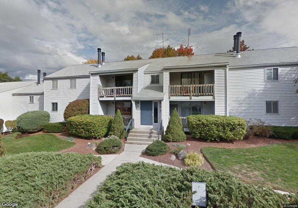
33 Spit Brook Rd Unit UA21 Nashua, NH 03060
Southeast Nashua NeighborhoodEstimated Value: $362,000 - $410,000
2
Beds
1
Bath
1,254
Sq Ft
$299/Sq Ft
Est. Value
About This Home
This home is located at 33 Spit Brook Rd Unit UA21, Nashua, NH 03060 and is currently estimated at $374,952, approximately $299 per square foot. 33 Spit Brook Rd Unit UA21 is a home located in Hillsborough County with nearby schools including Sunset Heights Elementary School, Elm Street Middle School, and Nashua High School South.
Ownership History
Date
Name
Owned For
Owner Type
Purchase Details
Closed on
May 20, 2021
Sold by
Mcpherson Eugene A
Bought by
Eugene A Mcpherson T
Current Estimated Value
Purchase Details
Closed on
Jun 26, 2013
Sold by
First R W&H Ogden Ft and Ogden Rudolph W
Bought by
Eugene A Mcpherson T and Mcpherson Eugene A
Purchase Details
Closed on
Jan 9, 2012
Sold by
Ogden Rudolph W and Ogden Helen
Bought by
First R W&H Ogden Ft and Ogden Rudolph W
Create a Home Valuation Report for This Property
The Home Valuation Report is an in-depth analysis detailing your home's value as well as a comparison with similar homes in the area
Home Values in the Area
Average Home Value in this Area
Purchase History
| Date | Buyer | Sale Price | Title Company |
|---|---|---|---|
| Eugene A Mcpherson T | -- | None Available | |
| Mcpherson Eugene A | -- | None Available | |
| Eugene A Mcpherson T | $133,000 | -- | |
| First R W&H Ogden Ft | -- | -- |
Source: Public Records
Tax History
| Year | Tax Paid | Tax Assessment Tax Assessment Total Assessment is a certain percentage of the fair market value that is determined by local assessors to be the total taxable value of land and additions on the property. | Land | Improvement |
|---|---|---|---|---|
| 2025 | $5,335 | $317,000 | $0 | $317,000 |
| 2024 | $5,040 | $317,000 | $0 | $317,000 |
| 2023 | $4,736 | $259,800 | $0 | $259,800 |
| 2022 | $4,695 | $259,800 | $0 | $259,800 |
| 2021 | $4,089 | $176,100 | $0 | $176,100 |
| 2020 | $3,982 | $176,100 | $0 | $176,100 |
| 2019 | $3,832 | $176,100 | $0 | $176,100 |
| 2018 | $3,735 | $176,100 | $0 | $176,100 |
| 2017 | $3,394 | $131,600 | $0 | $131,600 |
| 2016 | $3,299 | $131,600 | $0 | $131,600 |
| 2015 | $3,228 | $131,600 | $0 | $131,600 |
| 2014 | $3,165 | $131,600 | $0 | $131,600 |
Source: Public Records
Map
Nearby Homes
- 33 Spit Brook Rd Unit A-2
- 3 Louisburg Square Unit 1
- 5 Louisburg Square Unit 11
- 310 Brook Village Rd Unit U33
- 4 Heritage Village Dr
- 31 Bluestone Dr
- 11 Strawberry Bank Rd Unit U17
- 160 Daniel Webster Hwy Unit 201
- 160 Daniel Webster Hwy Unit 319
- 2 Prestwick Trail Unit U8
- 2 Prestwick Trail Unit 2
- 12 Mountain Laurels Dr Unit 204
- 12 Mountain Laurels Dr Unit 402
- 4 Chelsea Ct
- 38 Georgetown Dr
- 21 Clearview Dr
- 16 Emerson Rd
- 57 French Ct
- 16 Stillwater Dr Unit U111
- 20 Georgetown Dr
- 33 Spit Brook Rd Unit UA9
- 33 Spit Brook Rd Unit UA8
- 33 Spit Brook Rd Unit UA7
- 33 Spit Brook Rd Unit UA6
- 33 Spit Brook Rd Unit UA5
- 33 Spit Brook Rd Unit UA4
- 33 Spit Brook Rd Unit UA3
- 33 Spit Brook Rd Unit UA25
- 33 Spit Brook Rd Unit UA24
- 33 Spit Brook Rd Unit UA23
- 33 Spit Brook Rd Unit UA22
- 33 Spit Brook Rd Unit UA20
- 33 Spit Brook Rd Unit UA2
- 33 Spit Brook Rd Unit UA19
- 33 Spit Brook Rd Unit UA18
- 33 Spit Brook Rd Unit UA17
- 33 Spit Brook Rd Unit UA16
- 33 Spit Brook Rd Unit UA15
- 33 Spit Brook Rd Unit UA14
- 33 Spit Brook Rd Unit UA12
Your Personal Tour Guide
Ask me questions while you tour the home.