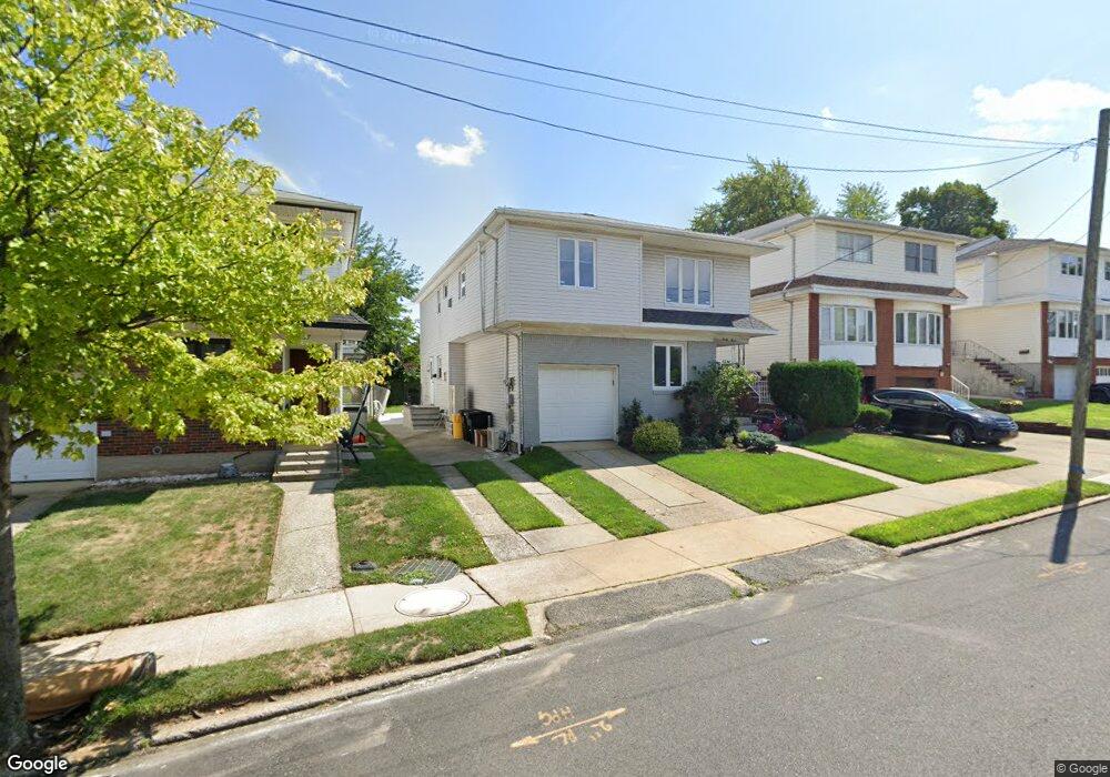
33 Taft Ct Staten Island, NY 10314
Willowbrook NeighborhoodEstimated Value: $925,434 - $1,068,000
--
Bed
--
Bath
2,080
Sq Ft
$477/Sq Ft
Est. Value
About This Home
This home is located at 33 Taft Ct, Staten Island, NY 10314 and is currently estimated at $991,859, approximately $476 per square foot. 33 Taft Ct is a home located in Richmond County with nearby schools including P.S. 54 Charles W Leng, Is 72 Rocco Laurie, and Susan E Wagner High School.
Ownership History
Date
Name
Owned For
Owner Type
Purchase Details
Closed on
Aug 31, 2015
Sold by
Schmerler Isaac and Schmerler Rochelle
Bought by
Farkas David and Ohevshalom Debora
Current Estimated Value
Home Financials for this Owner
Home Financials are based on the most recent Mortgage that was taken out on this home.
Original Mortgage
$630,371
Outstanding Balance
$494,438
Interest Rate
3.87%
Mortgage Type
FHA
Estimated Equity
$497,421
Create a Home Valuation Report for This Property
The Home Valuation Report is an in-depth analysis detailing your home's value as well as a comparison with similar homes in the area
Home Values in the Area
Average Home Value in this Area
Purchase History
| Date | Buyer | Sale Price | Title Company |
|---|---|---|---|
| Farkas David | $642,000 | None Available |
Source: Public Records
Mortgage History
| Date | Status | Borrower | Loan Amount |
|---|---|---|---|
| Open | Farkas David | $630,371 |
Source: Public Records
Tax History Compared to Growth
Tax History
| Year | Tax Paid | Tax Assessment Tax Assessment Total Assessment is a certain percentage of the fair market value that is determined by local assessors to be the total taxable value of land and additions on the property. | Land | Improvement |
|---|---|---|---|---|
| 2025 | $8,104 | $54,720 | $8,347 | $46,373 |
| 2024 | $8,104 | $49,380 | $8,727 | $40,653 |
| 2023 | $7,826 | $38,534 | $7,750 | $30,784 |
| 2022 | $7,400 | $46,800 | $10,680 | $36,120 |
| 2021 | $7,746 | $43,200 | $10,680 | $32,520 |
| 2020 | $7,544 | $46,620 | $10,680 | $35,940 |
| 2019 | $7,034 | $47,460 | $10,680 | $36,780 |
| 2016 | $6,132 | $30,672 | $9,945 | $20,727 |
| 2015 | $4,152 | $29,701 | $8,687 | $21,014 |
| 2014 | $4,152 | $28,020 | $8,880 | $19,140 |
Source: Public Records
Map
Nearby Homes
- 5 Birchard Ave
- 114 Sunset Ave
- 546 Buchanan Ave Unit B
- 566 Buchanan Ave Unit B
- 148 Roosevelt Ave
- 245 Martin Ave
- 15 Boone St
- 198 Warwick Ave
- 50 Bradley Ct Unit 52
- 33 Bradley Ct Unit A
- 15 Soren St
- 371 Bradley Ave
- 17 Bradley Ct Unit A
- 619 Ingram Ave
- 207 Martin Ave
- 0 Roosevelt Ave
- 165 Warwick Ave
- 182 Ardmore Ave
- 236 Queen St
- 274 Crafton Ave