33 Targett Rd New Gloucester, ME 04260
Estimated Value: $468,575 - $557,000
2
Beds
2
Baths
1,400
Sq Ft
$370/Sq Ft
Est. Value
About This Home
This home is located at 33 Targett Rd, New Gloucester, ME 04260 and is currently estimated at $518,394, approximately $370 per square foot. 33 Targett Rd is a home located in Cumberland County with nearby schools including Gray-New Gloucester High School.
Ownership History
Date
Name
Owned For
Owner Type
Purchase Details
Closed on
Jan 22, 2025
Sold by
Targett Ricky D and Targett Beverly J
Bought by
Targett Beverly J
Current Estimated Value
Purchase Details
Closed on
Feb 1, 2021
Sold by
Hotham & Targett Pops Llc
Bought by
Targett Properties Llc
Create a Home Valuation Report for This Property
The Home Valuation Report is an in-depth analysis detailing your home's value as well as a comparison with similar homes in the area
Home Values in the Area
Average Home Value in this Area
Purchase History
| Date | Buyer | Sale Price | Title Company |
|---|---|---|---|
| Targett Beverly J | -- | None Available | |
| Targett Beverly J | -- | None Available | |
| Targett Properties Llc | -- | None Available | |
| Targett Properties Llc | -- | None Available | |
| Targett Properties Llc | -- | None Available |
Source: Public Records
Tax History Compared to Growth
Tax History
| Year | Tax Paid | Tax Assessment Tax Assessment Total Assessment is a certain percentage of the fair market value that is determined by local assessors to be the total taxable value of land and additions on the property. | Land | Improvement |
|---|---|---|---|---|
| 2025 | $4,488 | $290,098 | $86,211 | $203,887 |
| 2024 | $4,320 | $290,098 | $86,211 | $203,887 |
| 2023 | $4,146 | $290,098 | $86,211 | $203,887 |
| 2022 | $4,003 | $290,098 | $86,211 | $203,887 |
| 2021 | $4,003 | $290,098 | $86,211 | $203,887 |
| 2020 | $3,960 | $290,098 | $86,211 | $203,887 |
| 2019 | $3,017 | $178,500 | $67,600 | $110,900 |
| 2018 | $2,820 | $178,500 | $67,600 | $110,900 |
| 2017 | $2,785 | $178,500 | $67,600 | $110,900 |
| 2016 | $2,624 | $178,500 | $67,600 | $110,900 |
| 2015 | $2,615 | $178,500 | $67,600 | $110,900 |
| 2014 | $2,588 | $178,500 | $67,600 | $110,900 |
| 2013 | $2,401 | $178,500 | $67,600 | $110,900 |
Source: Public Records
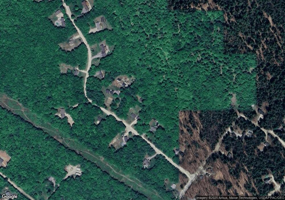
Map
Nearby Homes
- TBD Targett Rd
- 22 Shaw Rd
- 271 Bennett Rd
- 155 & 151 Gloucester Hill Rd
- 160 Gloucester Hill Rd
- 24 Swamp Rd
- 343 Shaker Rd
- 10 Cobbs Bridge Rd
- 14 Golden Way
- 423 Sabbathday Rd
- 0 Mayall
- 13 Mill Brook Rd Unit A
- 164 Intervale Rd
- 4 Chelsey Ln
- 4 Wanda Ln
- 00 N Shore Rd
- 15 May Meadow Dr
- 27 Callaway Dr Unit 27B
- 17 Callaway Dr Unit 17
- 74 May Meadow Dr