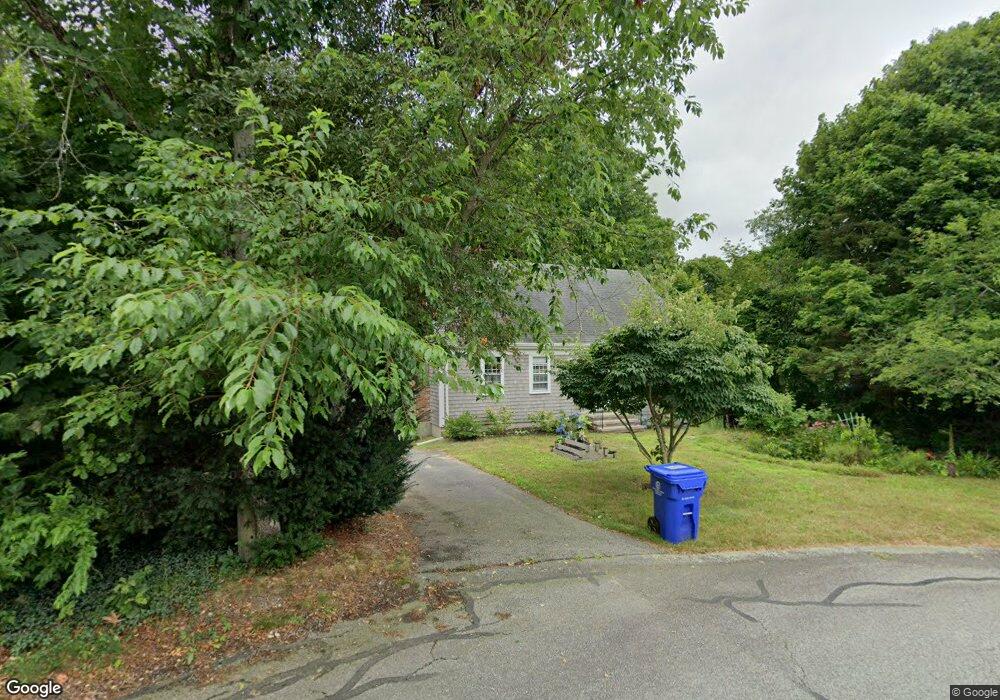
33 Wing Rd Pocasset, MA 02559
Pocasset NeighborhoodEstimated Value: $593,409 - $674,000
4
Beds
2
Baths
1,512
Sq Ft
$417/Sq Ft
Est. Value
About This Home
This home is located at 33 Wing Rd, Pocasset, MA 02559 and is currently estimated at $631,102, approximately $417 per square foot. 33 Wing Rd is a home located in Barnstable County with nearby schools including Bourne High School and Cadence Academy Preschool - Bourne.
Create a Home Valuation Report for This Property
The Home Valuation Report is an in-depth analysis detailing your home's value as well as a comparison with similar homes in the area
Home Values in the Area
Average Home Value in this Area
Tax History Compared to Growth
Tax History
| Year | Tax Paid | Tax Assessment Tax Assessment Total Assessment is a certain percentage of the fair market value that is determined by local assessors to be the total taxable value of land and additions on the property. | Land | Improvement |
|---|---|---|---|---|
| 2025 | $3,632 | $465,100 | $205,400 | $259,700 |
| 2024 | $3,578 | $446,100 | $195,600 | $250,500 |
| 2023 | $3,412 | $387,300 | $165,600 | $221,700 |
| 2022 | $3,590 | $355,800 | $179,900 | $175,900 |
| 2021 | $3,488 | $323,900 | $163,700 | $160,200 |
| 2020 | $3,311 | $308,300 | $162,100 | $146,200 |
| 2019 | $3,153 | $300,000 | $162,100 | $137,900 |
| 2018 | $3,012 | $285,800 | $154,400 | $131,400 |
| 2017 | $2,799 | $271,700 | $141,600 | $130,100 |
| 2016 | $2,518 | $247,800 | $141,600 | $106,200 |
| 2015 | $2,724 | $270,500 | $164,300 | $106,200 |
Source: Public Records
Map
Nearby Homes
- 171 Bellavista Dr
- 254 Barlows Landing Rd
- 22 Nairn Rd
- 34 Kenwood Rd
- 940 County Rd
- 45 Kenwood Rd
- 709 County Rd
- 70 Wings Neck Rd
- 174 Barlows Landing Rd
- 940 County Rd
- 48 Red Brook Harbor Rd
- 7 4th Ave
- 14 Navajo Rd
- 3 Red Brook Pond Dr
- 15 1st St
- 24 Richmond Rd
- 1094 County Rd
- 39 Bennets Neck Dr
- 89 Harbor Dr