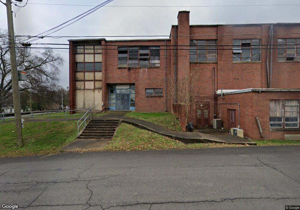
330 5th Ave N Lewisburg, TN 37091
Estimated Value: $213,000 - $233,234
--
Bed
--
Bath
--
Sq Ft
3.51
Acres
About This Home
This home is located at 330 5th Ave N, Lewisburg, TN 37091 and is currently estimated at $223,117. 330 5th Ave N is a home located in Marshall County with nearby schools including Marshall Elementary School, Oak Grove Elementary School, and Westhills Elementary School.
Ownership History
Date
Name
Owned For
Owner Type
Purchase Details
Closed on
Dec 27, 2011
Bought by
Connelly Group Inc
Current Estimated Value
Purchase Details
Closed on
Jun 18, 2009
Sold by
Central Park Of Marshall
Bought by
Rural Development Group Llc
Purchase Details
Closed on
May 28, 2004
Sold by
Lewisburg Housing
Bought by
Central Park
Purchase Details
Closed on
Feb 25, 2003
Bought by
Lewisburg Housing Authrity A Tn Public Housin
Purchase Details
Closed on
Jun 6, 2000
Sold by
Marshall Co Board Of
Bought by
Marchall County Tn
Create a Home Valuation Report for This Property
The Home Valuation Report is an in-depth analysis detailing your home's value as well as a comparison with similar homes in the area
Home Values in the Area
Average Home Value in this Area
Purchase History
| Date | Buyer | Sale Price | Title Company |
|---|---|---|---|
| Connelly Group Inc | $25,000 | -- | |
| Rural Development Group Llc | $25,000 | -- | |
| Central Park | -- | -- | |
| Lewisburg Housing Authrity A Tn Public Housin | -- | -- | |
| Marchall County Tn | -- | -- |
Source: Public Records
Tax History Compared to Growth
Tax History
| Year | Tax Paid | Tax Assessment Tax Assessment Total Assessment is a certain percentage of the fair market value that is determined by local assessors to be the total taxable value of land and additions on the property. | Land | Improvement |
|---|---|---|---|---|
| 2024 | -- | $25,650 | $12,500 | $13,150 |
| 2023 | $797 | $25,650 | $12,500 | $13,150 |
| 2022 | $797 | $25,650 | $12,500 | $13,150 |
| 2021 | $930 | $19,975 | $8,350 | $11,625 |
| 2020 | $930 | $19,975 | $8,350 | $11,625 |
| 2019 | $900 | $19,975 | $8,350 | $11,625 |
| 2018 | $890 | $19,975 | $8,350 | $11,625 |
| 2017 | $890 | $19,975 | $8,350 | $11,625 |
| 2016 | $857 | $16,725 | $8,325 | $8,400 |
| 2015 | $781 | $16,725 | $8,325 | $8,400 |
| 2014 | $781 | $16,725 | $8,325 | $8,400 |
Source: Public Records
Map
Nearby Homes
- 726 Thomas Ave
- 0 New Lake Rd Unit RTC3030964
- 215 5th Ave N
- 316 Haynes St
- 518 Maple St
- 594 5th Ave N
- 525 Maple St
- 630 6th Ave N
- 416 1st Ave N
- 627 6th Ave N
- 610 Forrest St
- 543 2nd Ave N
- 638 2nd Ave N
- 319 Greenwood St
- 231 Greenwood St
- 319 E Hill Ave
- 117 W End Ave N
- 1111 W End Ave N
- 1600 Larry Dospil Dr
- 108 W End Ave N
- 0 Contact Unit RTC2314758
- 0 Contact Unit RTC2314565
- 0 Hwy 64w Lot 2
- 0 Hwy 64w Unit 2
- 0 Bob Davis Rd Unit 1917238
- 0 New Lake Rd Unit 1834223
- 0 Bob Davis Rd Unit 1814779
- 0 Bob Davis Rd Unit RTC2352582
- 512 Silver St
- 504 Silver St
- 524 Silver St
- 308 5th Ave N
- 518 Mcdowell Ln
- 534 Silver St
- 443 Haynes St
- 434 5th Ave N
- 432 Haynes St
- 423 5th Ave N
- 548 Silver St
- 311 5th Ave N