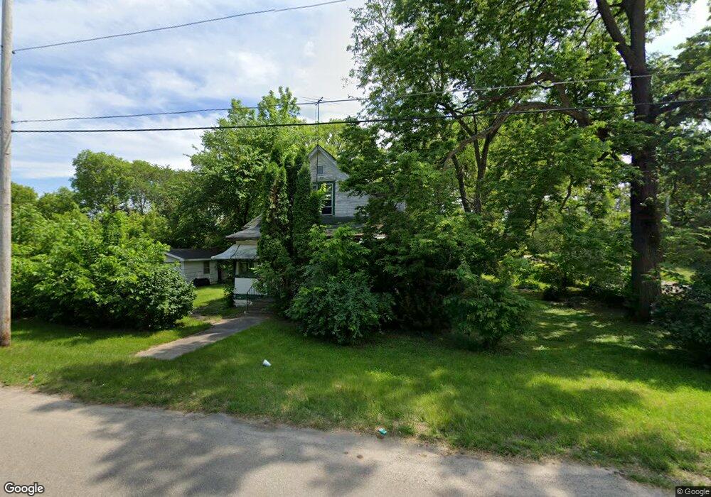
330 Albany St Waterloo, IA 50703
Unity NeighborhoodEstimated Value: $57,000 - $105,000
4
Beds
2
Baths
965
Sq Ft
$88/Sq Ft
Est. Value
About This Home
This home is located at 330 Albany St, Waterloo, IA 50703 and is currently estimated at $84,875, approximately $87 per square foot. 330 Albany St is a home located in Black Hawk County with nearby schools including Cunningham School, George Washington Carver Academy, and West High School.
Ownership History
Date
Name
Owned For
Owner Type
Purchase Details
Closed on
Aug 21, 2025
Sold by
Robinson Ricky
Bought by
Griffith Bettye Ruth
Current Estimated Value
Purchase Details
Closed on
Dec 10, 2024
Sold by
Kriol-Robinson Corinne
Bought by
Griffith Bettye Ruth
Purchase Details
Closed on
Nov 5, 2024
Sold by
Robinson Glen and Robinson Chris
Bought by
Griffith Bettye Ruth
Purchase Details
Closed on
Sep 18, 2024
Sold by
Green Micah and Green Kristin
Bought by
Griffith Bettye Ruth
Purchase Details
Closed on
Sep 9, 2024
Sold by
Reynolds Willie and Reynolds Alycia
Bought by
Griffith Bettye Ruth
Purchase Details
Closed on
Aug 26, 2024
Sold by
Robinson Mariana
Bought by
Griffith Bettye Ruth
Purchase Details
Closed on
Aug 20, 2024
Sold by
Green Dennis and Green Roslyn
Bought by
Griffith Bettye Ruth
Create a Home Valuation Report for This Property
The Home Valuation Report is an in-depth analysis detailing your home's value as well as a comparison with similar homes in the area
Home Values in the Area
Average Home Value in this Area
Purchase History
| Date | Buyer | Sale Price | Title Company |
|---|---|---|---|
| Griffith Bettye Ruth | -- | None Listed On Document | |
| Griffith Bettye Ruth | -- | None Listed On Document | |
| Griffith Bettye Ruth | -- | None Listed On Document | |
| Griffith Bettye Ruth | -- | None Listed On Document | |
| Griffith Bettye Ruth | -- | None Listed On Document | |
| Griffith Bettye Ruth | -- | None Listed On Document | |
| Griffith Bettye Ruth | -- | None Listed On Document |
Source: Public Records
Tax History
| Year | Tax Paid | Tax Assessment Tax Assessment Total Assessment is a certain percentage of the fair market value that is determined by local assessors to be the total taxable value of land and additions on the property. | Land | Improvement |
|---|---|---|---|---|
| 2025 | $734 | $37,260 | $24,140 | $13,120 |
| 2024 | $734 | $33,810 | $24,140 | $9,670 |
| 2023 | $708 | $33,810 | $24,140 | $9,670 |
| 2022 | $690 | $32,240 | $24,140 | $8,100 |
| 2021 | $474 | $32,240 | $24,140 | $8,100 |
| 2020 | $270 | $20,890 | $11,320 | $9,570 |
| 2019 | $270 | $20,890 | $11,320 | $9,570 |
| 2018 | $222 | $18,680 | $11,320 | $7,360 |
| 2017 | $234 | $18,680 | $11,320 | $7,360 |
| 2016 | $226 | $18,680 | $11,320 | $7,360 |
| 2015 | $226 | $18,680 | $11,320 | $7,360 |
| 2014 | $230 | $18,680 | $11,320 | $7,360 |
Source: Public Records
Map
Nearby Homes
- 1002 Mobile St
- 823 Glenwood St
- 0 Bates St
- 510 Courtland St
- 307 Oneida St
- 1127 Independence Ave
- 520 Linden Ave
- 211 Madison St
- 324 Sumner St
- 1612 Franklin St
- 1235 Independence Ave
- 630 Webster St
- 232 Webster St
- Lot 11 & 12 Webster St
- 218 Sumner St
- 400 Elm St
- 318 Arizona St
- 1421 Mulberry St
- 911 Lafayette St Unit 913
- 315 Walnut St
Your Personal Tour Guide
Ask me questions while you tour the home.