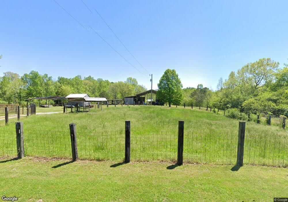
330 Concord Ln La Fayette, GA 30728
Estimated Value: $335,000 - $398,280
--
Bed
1
Bath
1,088
Sq Ft
$329/Sq Ft
Est. Value
About This Home
This home is located at 330 Concord Ln, La Fayette, GA 30728 and is currently estimated at $357,760, approximately $328 per square foot. 330 Concord Ln is a home located in Walker County with nearby schools including Naomi Elementary School, Lafayette Middle School, and Lafayette High School.
Ownership History
Date
Name
Owned For
Owner Type
Purchase Details
Closed on
May 17, 2024
Sold by
Gibson Luke Samuel
Bought by
Gibson Luke S and Gibson Patricia C
Current Estimated Value
Purchase Details
Closed on
May 24, 2008
Sold by
Gibson Matthew Carl
Bought by
Gibson Luke Samuel
Purchase Details
Closed on
Sep 18, 1991
Sold by
Gibson Eugene L
Bought by
Gibson Patricia Carter
Purchase Details
Closed on
Dec 15, 1986
Sold by
Orr Arlene N
Bought by
Gibson Eugene L
Purchase Details
Closed on
Aug 24, 1971
Bought by
Orr Arlene N
Create a Home Valuation Report for This Property
The Home Valuation Report is an in-depth analysis detailing your home's value as well as a comparison with similar homes in the area
Home Values in the Area
Average Home Value in this Area
Purchase History
| Date | Buyer | Sale Price | Title Company |
|---|---|---|---|
| Gibson Luke S | -- | -- | |
| Gibson Luke Samuel | -- | -- | |
| Gibson Patricia Carter | -- | -- | |
| Gibson Eugene L | $75,000 | -- | |
| Orr Arlene N | -- | -- |
Source: Public Records
Tax History Compared to Growth
Tax History
| Year | Tax Paid | Tax Assessment Tax Assessment Total Assessment is a certain percentage of the fair market value that is determined by local assessors to be the total taxable value of land and additions on the property. | Land | Improvement |
|---|---|---|---|---|
| 2024 | $467 | $143,935 | $120,999 | $22,936 |
| 2023 | $448 | $120,747 | $98,906 | $21,841 |
| 2022 | $415 | $75,744 | $56,970 | $18,774 |
| 2021 | $429 | $70,080 | $56,970 | $13,110 |
| 2020 | $450 | $69,010 | $56,970 | $12,040 |
| 2019 | $463 | $69,010 | $56,970 | $12,040 |
| 2018 | $1,826 | $69,010 | $56,970 | $12,040 |
| 2017 | $1,807 | $69,514 | $56,970 | $12,544 |
| 2016 | $1,065 | $69,514 | $56,970 | $12,544 |
| 2015 | $1,375 | $46,359 | $33,824 | $12,535 |
| 2014 | $1,229 | $46,359 | $33,824 | $12,535 |
| 2013 | $1,839 | $46,359 | $33,824 | $12,535 |
Source: Public Records
Map
Nearby Homes
- 9724 Georgia 136
- 0 Ponder Creek Rd Unit 1524239
- 721 Gowan Rd
- 0 E Armuchee Rd Unit 1512840
- 0 E Armuchee Rd Unit 10530916
- 2545 W Armuchee Rd
- 1580 Furnace Creek Rd
- 1146 Manning Mill Rd
- 0 Townsend Rd
- 0 Jack Dr
- 349 Joe Robertson Rd
- 00 Joe Robertson Rd
- 4177 S Jimmy Dr
- 139 Harris Ln
- 5127 E Armuchee Rd
- 0 Clement Rd Unit 7454770
- 0 Clement Rd Unit 10376510
- 1166 Lower Mill Creek Rd
- 4744 N Jimmy Dr
- 901 Dunwoody Rd