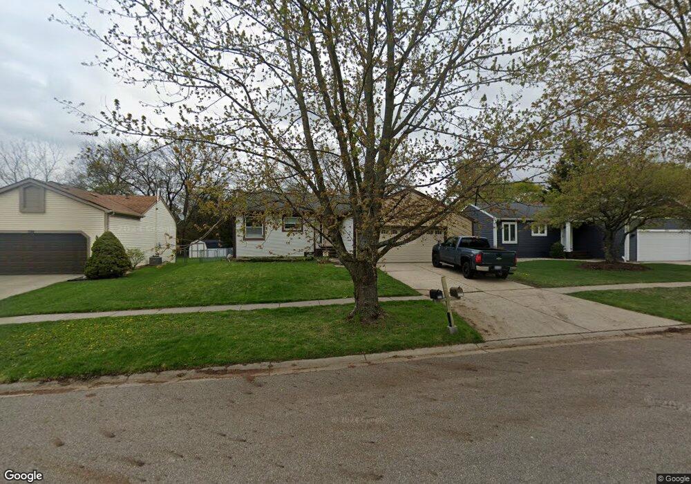
330 Corral Path Lansing, MI 48917
Estimated Value: $196,000 - $232,000
3
Beds
2
Baths
1,764
Sq Ft
$126/Sq Ft
Est. Value
About This Home
This home is located at 330 Corral Path, Lansing, MI 48917 and is currently estimated at $221,848, approximately $125 per square foot. 330 Corral Path is a home located in Eaton County with nearby schools including Waverly Senior High School, Greater Lansing Adventist School, and St. Gerard Elementary School.
Ownership History
Date
Name
Owned For
Owner Type
Purchase Details
Closed on
Jul 15, 2011
Sold by
Kerschke Jason M and Kerschke Mary K
Bought by
Ransome Mark and Ransome Bonnie
Current Estimated Value
Home Financials for this Owner
Home Financials are based on the most recent Mortgage that was taken out on this home.
Original Mortgage
$107,211
Outstanding Balance
$74,999
Interest Rate
4.87%
Mortgage Type
FHA
Estimated Equity
$146,849
Create a Home Valuation Report for This Property
The Home Valuation Report is an in-depth analysis detailing your home's value as well as a comparison with similar homes in the area
Home Values in the Area
Average Home Value in this Area
Purchase History
| Date | Buyer | Sale Price | Title Company |
|---|---|---|---|
| Ransome Mark | $110,000 | Tri County Title Agency Llc |
Source: Public Records
Mortgage History
| Date | Status | Borrower | Loan Amount |
|---|---|---|---|
| Open | Ransome Mark | $107,211 |
Source: Public Records
Tax History
| Year | Tax Paid | Tax Assessment Tax Assessment Total Assessment is a certain percentage of the fair market value that is determined by local assessors to be the total taxable value of land and additions on the property. | Land | Improvement |
|---|---|---|---|---|
| 2025 | $3,392 | $101,300 | $0 | $0 |
| 2024 | $1,940 | $95,700 | $0 | $0 |
| 2023 | $1,866 | $87,200 | $0 | $0 |
| 2022 | $2,956 | $80,800 | $0 | $0 |
| 2021 | $2,909 | $75,300 | $0 | $0 |
| 2020 | $2,980 | $72,900 | $0 | $0 |
| 2019 | $2,918 | $69,138 | $0 | $0 |
| 2018 | $2,865 | $67,000 | $0 | $0 |
| 2017 | $2,796 | $64,800 | $0 | $0 |
| 2016 | -- | $63,900 | $0 | $0 |
| 2015 | -- | $62,900 | $0 | $0 |
| 2014 | -- | $58,928 | $0 | $0 |
| 2013 | -- | $58,000 | $0 | $0 |
Source: Public Records
Map
Nearby Homes
- 321 Renker Rd
- 410 Renker Rd
- 415 Winifred Ave
- 215 Winifred Ave Unit A & B
- 0000 N Dibble Ave
- 401 Richard Ave
- 217 Richard Ave
- 807 Maycroft Rd
- 5137 Dorene Dr
- 516 Hume Blvd
- 3423 Upton Rd
- 1031 Mall Dr E
- 4616 W Saint Joe Hwy
- 339 Stoner Rd
- 4705 Norwick St
- 4236 Oakcrest Dr
- 1222 Ravenswood Dr
- 4908 Applewood Dr
- 123 N Deerfield Ave
- 1011 Old Erin Way
- 324 Corral Path
- 318 Corral Path
- 342 Corral Path
- 348 Corral Path
- 310 Corral Path
- 327 Corral Path
- 333 Corral Path
- 321 Corral Path
- 339 Corral Path
- 311 Renker Rd
- 303 Renker Rd
- 347 Corral Path
- 404 Corral Path
- 311 Corral Path
- 239 Renker Rd
- 353 Corral Path
- 304 Corral Path
- 324 Bronco Way
- 318 Bronco Way
- 410 Corral Path
Your Personal Tour Guide
Ask me questions while you tour the home.