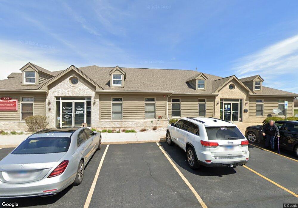
330 Division Dr Sugar Grove, IL 60554
--
Bed
--
Bath
--
Sq Ft
0.25
Acres
About This Home
This home is located at 330 Division Dr, Sugar Grove, IL 60554. 330 Division Dr is a home located in Kane County with nearby schools including Kaneland John Shields Elementary School, Harter Middle School, and Kaneland Senior High School.
Ownership History
Date
Name
Owned For
Owner Type
Purchase Details
Closed on
May 14, 2024
Sold by
Falcon Blue Enterprises Llc
Bought by
Phoenix4 Llc
Home Financials for this Owner
Home Financials are based on the most recent Mortgage that was taken out on this home.
Original Mortgage
$472,000
Outstanding Balance
$362,267
Interest Rate
7.23%
Mortgage Type
New Conventional
Purchase Details
Closed on
May 8, 2024
Sold by
25 South La Grange Road Llc
Bought by
Falcon Blue Enterprises Llc
Home Financials for this Owner
Home Financials are based on the most recent Mortgage that was taken out on this home.
Original Mortgage
$472,000
Outstanding Balance
$362,267
Interest Rate
7.23%
Mortgage Type
New Conventional
Purchase Details
Closed on
Sep 26, 2018
Sold by
Hershey Katherine E
Bought by
25 South La Grange Road Llc
Create a Home Valuation Report for This Property
The Home Valuation Report is an in-depth analysis detailing your home's value as well as a comparison with similar homes in the area
Home Values in the Area
Average Home Value in this Area
Purchase History
| Date | Buyer | Sale Price | Title Company |
|---|---|---|---|
| Phoenix4 Llc | $597,000 | Fidelity National Title | |
| Falcon Blue Enterprises Llc | $597,000 | Fidelity National Title | |
| 25 South La Grange Road Llc | $465,000 | Chicago Title Insurance Co |
Source: Public Records
Mortgage History
| Date | Status | Borrower | Loan Amount |
|---|---|---|---|
| Open | Phoenix4 Llc | $472,000 |
Source: Public Records
Tax History Compared to Growth
Tax History
| Year | Tax Paid | Tax Assessment Tax Assessment Total Assessment is a certain percentage of the fair market value that is determined by local assessors to be the total taxable value of land and additions on the property. | Land | Improvement |
|---|---|---|---|---|
| 2024 | $12,665 | $149,204 | $33,713 | $115,491 |
| 2023 | $12,331 | $134,564 | $30,405 | $104,159 |
| 2022 | $11,712 | $124,229 | $28,070 | $96,159 |
| 2021 | $11,320 | $118,223 | $26,713 | $91,510 |
| 2020 | $11,173 | $115,701 | $26,143 | $89,558 |
| 2019 | $11,022 | $111,918 | $25,288 | $86,630 |
| 2018 | $10,860 | $107,582 | $24,308 | $83,274 |
| 2017 | $10,559 | $102,743 | $23,215 | $79,528 |
| 2016 | $10,339 | $98,215 | $22,192 | $76,023 |
| 2015 | -- | $98,216 | $20,648 | $77,568 |
| 2014 | -- | $145,567 | $19,744 | $125,823 |
| 2013 | -- | $147,096 | $19,951 | $127,145 |
Source: Public Records
Map
Nearby Homes
- 391 Capitol Dr
- 124 W Park Ave Unit D
- 199 Vale Ave Unit 1
- 193 W Park Ave Unit A
- 206 Brompton Ln Unit A
- 226 W Park Ave Unit A
- 208 Belle Vue Ct Unit A
- 174 Brompton Ln Unit A
- 230 St James Pkwy Unit A
- 261 Hampton Rd Unit 1
- 5S655 Bliss Rd
- 42W490 Kedeka Rd
- 191 Meadows Dr
- 209 Regency Blvd Unit 1
- 209 Somerset Dr Unit 1
- 123 Terry Dr
- 126 S Sugar Grove Pkwy
- 11 Hardwick Ct
- 6 Saddlewood Ct
- 73 Neil Rd
- 300 Division Dr
- 331 Division Dr
- 42W224 Seavey Rd
- 522 Illinois 47 Unit C
- 329 Sutton Ct Unit 1
- 335 Sutton Ct Unit 1
- 323 Sutton Ct Unit 1
- 341 Sutton Ct
- 495 Illinois 47
- 495 Illinois 47 Unit C-D
- 461 Rt 47
- 347 Sutton Ct
- 328 Sutton Ct
- 63 Westbourne Ave Unit 1
- 291 Hampstead Dr Unit 1
- 67 Westbourne Ave Unit 1
- 355 Sutton Ct Unit 1
- 334 Sutton Ct
- 35 E Park Ave
- 35 E Park Ave