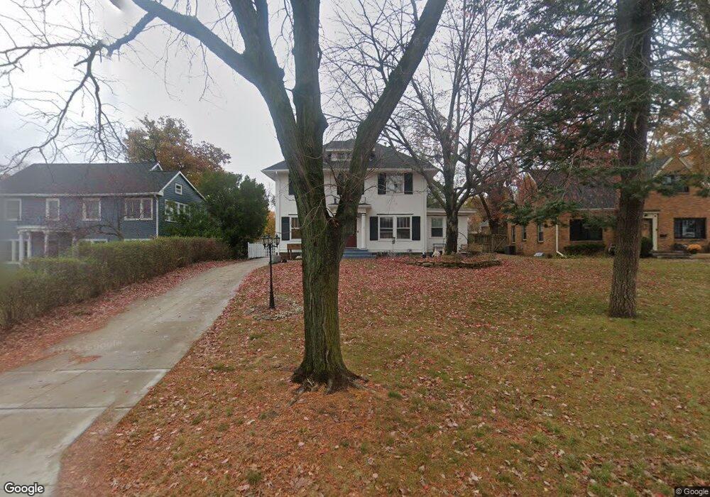
330 Forest Dr SE Cedar Rapids, IA 52403
Bever Park NeighborhoodEstimated Value: $333,000 - $364,000
4
Beds
4
Baths
2,808
Sq Ft
$123/Sq Ft
Est. Value
About This Home
This home is located at 330 Forest Dr SE, Cedar Rapids, IA 52403 and is currently estimated at $346,518, approximately $123 per square foot. 330 Forest Dr SE is a home located in Linn County with nearby schools including Grant Wood Elementary School, McKinley STEAM Academy, and George Washington High School.
Ownership History
Date
Name
Owned For
Owner Type
Purchase Details
Closed on
Jan 23, 2025
Sold by
Runge Brian D and Runge Hope R
Bought by
Runge Revocable Trust and Runge
Current Estimated Value
Purchase Details
Closed on
May 19, 1999
Sold by
Whritenour Robert M and Whritenour Jill A
Bought by
Runge Brian D and Runge Hope R
Home Financials for this Owner
Home Financials are based on the most recent Mortgage that was taken out on this home.
Original Mortgage
$176,700
Interest Rate
6.99%
Create a Home Valuation Report for This Property
The Home Valuation Report is an in-depth analysis detailing your home's value as well as a comparison with similar homes in the area
Home Values in the Area
Average Home Value in this Area
Purchase History
| Date | Buyer | Sale Price | Title Company |
|---|---|---|---|
| Runge Revocable Trust | -- | None Listed On Document | |
| Runge Brian D | $185,500 | -- |
Source: Public Records
Mortgage History
| Date | Status | Borrower | Loan Amount |
|---|---|---|---|
| Previous Owner | Runge Brian D | $176,700 |
Source: Public Records
Tax History
| Year | Tax Paid | Tax Assessment Tax Assessment Total Assessment is a certain percentage of the fair market value that is determined by local assessors to be the total taxable value of land and additions on the property. | Land | Improvement |
|---|---|---|---|---|
| 2025 | $5,104 | $321,300 | $61,800 | $259,500 |
| 2024 | $5,002 | $298,900 | $54,500 | $244,400 |
| 2023 | $5,002 | $298,900 | $54,500 | $244,400 |
| 2022 | $4,716 | $246,000 | $50,900 | $195,100 |
| 2021 | $5,132 | $236,600 | $50,900 | $185,700 |
| 2020 | $5,132 | $241,200 | $50,900 | $190,300 |
| 2019 | $4,660 | $224,700 | $36,300 | $188,400 |
| 2018 | $4,526 | $224,700 | $36,300 | $188,400 |
| 2017 | $4,852 | $231,300 | $36,300 | $195,000 |
| 2016 | $4,701 | $221,200 | $36,300 | $184,900 |
| 2015 | $5,079 | $238,724 | $36,333 | $202,391 |
| 2014 | $4,894 | $238,724 | $36,333 | $202,391 |
| 2013 | $4,786 | $238,724 | $36,333 | $202,391 |
Source: Public Records
Map
Nearby Homes
- 2241 Linden Dr SE
- 2451 Grande Ave SE
- 202 Forest Dr SE
- 198 Forest Dr SE
- 2300 4th Ave SE
- 2039 Park Ave SE
- 2009 Blake Blvd SE
- 2005 Washington Ave SE
- 2323 Upland Dr SE
- 1906 Park Ave SE
- 1900 Park Ave SE
- 371 19th St SE
- 190 Cottage Grove Ave SE Unit 104
- 190 Cottage Grove Ave SE Unit 108
- 3015 Bever Ave SE
- 1953 1st Ave SE Unit 301
- 1953 1st Ave SE Unit 503
- 1953 1st Ave NE Unit 301
- 2135 1st Ave SE Unit 121
- 2135 1st Ave SE Unit 115
- 328 Forest Dr SE
- 336 Forest Dr SE
- 2301 Blake Blvd SE
- 2319 Blake Blvd SE
- 2320 Grande Ave SE
- 2325 Blake Blvd SE
- 333 Forest Dr SE
- 2300 Grande Ave SE
- 331 Forest Dr SE
- 335 Forest Dr SE
- 2330 Grande Ave SE
- 2225 Blake Blvd SE
- 2333 Blake Blvd SE
- 2260 Grande Ave SE
- 2335 Blake Blvd SE
- 2336 Grande Ave SE
- 2219 Blake Blvd SE
- 2256 Grande Ave SE
- 2345 Blake Blvd SE
- 2209 Blake Blvd SE
Your Personal Tour Guide
Ask me questions while you tour the home.