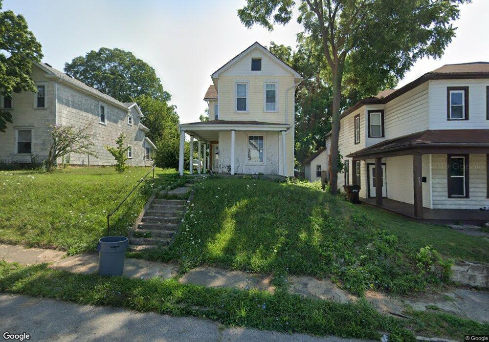
330 Forrest Ave Springfield, OH 45505
Estimated Value: $41,000 - $125,000
2
Beds
1
Bath
1,244
Sq Ft
$66/Sq Ft
Est. Value
About This Home
This home is located at 330 Forrest Ave, Springfield, OH 45505 and is currently estimated at $81,622, approximately $65 per square foot. 330 Forrest Ave is a home located in Clark County with nearby schools including Kenwood Elementary School, Schaefer Middle School, and Springfield High School.
Ownership History
Date
Name
Owned For
Owner Type
Purchase Details
Closed on
Feb 6, 2009
Sold by
Fat Cat East Enterprises Llc
Bought by
Iddings Gary
Current Estimated Value
Purchase Details
Closed on
Sep 24, 2008
Sold by
Sweeney David H and Sweeney Barbara M
Bought by
Fat Cat East Enterprises Llc
Purchase Details
Closed on
May 18, 2007
Sold by
Mcneil Robert W
Bought by
Sweeney David H and Sweeney Barbara M
Purchase Details
Closed on
Dec 2, 1991
Sold by
Quisenberry Joseph and Quisenberry Irene
Bought by
Mcneil Robert W
Create a Home Valuation Report for This Property
The Home Valuation Report is an in-depth analysis detailing your home's value as well as a comparison with similar homes in the area
Home Values in the Area
Average Home Value in this Area
Purchase History
| Date | Buyer | Sale Price | Title Company |
|---|---|---|---|
| Iddings Gary | $5,500 | Ohio Real Estate Title | |
| Fat Cat East Enterprises Llc | $5,000 | Team Title & Closing Svcs Ll | |
| Sweeney David H | -- | Attorney | |
| Mcneil Robert W | -- | -- |
Source: Public Records
Tax History
| Year | Tax Paid | Tax Assessment Tax Assessment Total Assessment is a certain percentage of the fair market value that is determined by local assessors to be the total taxable value of land and additions on the property. | Land | Improvement |
|---|---|---|---|---|
| 2025 | $710 | $22,310 | $1,470 | $20,840 |
| 2024 | $1,212 | $14,000 | $1,100 | $12,900 |
| 2023 | $1,523 | $14,000 | $1,100 | $12,900 |
| 2022 | $1,098 | $14,000 | $1,100 | $12,900 |
| 2021 | $734 | $13,360 | $1,050 | $12,310 |
| 2020 | $736 | $13,360 | $1,050 | $12,310 |
| 2019 | $738 | $13,360 | $1,050 | $12,310 |
| 2018 | $490 | $8,510 | $1,050 | $7,460 |
| 2017 | $489 | $8,505 | $1,050 | $7,455 |
| 2016 | $490 | $8,505 | $1,050 | $7,455 |
| 2015 | $499 | $8,505 | $1,050 | $7,455 |
| 2014 | $497 | $8,505 | $1,050 | $7,455 |
| 2013 | $492 | $8,505 | $1,050 | $7,455 |
Source: Public Records
Map
Nearby Homes
- 1215 E High St
- 360 S Greenmount Ave
- 321 Glenn Ave
- 315 Glenn Ave
- 1065 Mound St Unit 1067
- 1585 Mound St
- 453 E Pleasant St
- 1609 Irwin Ave
- 1417 Kenton St
- 718 Summer St
- 908 Pine St
- 705 York St
- 1621 Morgan St
- 1664 Warder St
- 1005 Burt St
- 1105 Farlow St
- 625 Tibbetts Ave
- 1652 Kenton St
- 1111 Lafayette Ave
- 250 S Douglas Ave Unit 254
- 332 Forrest Ave
- 324 Forrest Ave
- 334 Forest Dr
- 338 Forrest Ave
- 318 Forrest Ave
- 344 Forrest Ave
- 323 Forrest Ave
- 335 Forrest Ave
- 325 S Greenmount Ave
- 327 S Greenmount Ave
- 1313 Mound St
- 0 Charles St
- 0 Charles St
- 319 S Greenmount Ave
- 331 S Greenmount Ave
- 348 Forrest Ave
- 1321 Mound St
- 1321 Mound St Unit 1323
- 329 Forrest Ave
- 321 Forrest Ave
Your Personal Tour Guide
Ask me questions while you tour the home.