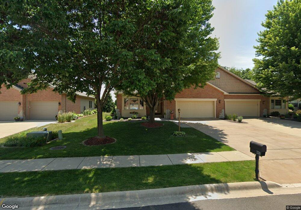
330 Garnet Dr Morton, IL 61550
Estimated Value: $336,303 - $406,000
2
Beds
2
Baths
1,754
Sq Ft
$215/Sq Ft
Est. Value
About This Home
This home is located at 330 Garnet Dr, Morton, IL 61550 and is currently estimated at $377,826, approximately $215 per square foot. 330 Garnet Dr is a home located in Tazewell County with nearby schools including Morton High School, Blessed Sacrament School, and Bethel Lutheran School.
Ownership History
Date
Name
Owned For
Owner Type
Purchase Details
Closed on
Dec 9, 2021
Sold by
Rocke Evabeth M and Schick Evabeth
Bought by
Evabeth M Rocke Living Trust and Rocke
Current Estimated Value
Purchase Details
Closed on
Jul 14, 2008
Sold by
Gall William Scott
Bought by
Schick Stanley W and Schick Carol M
Home Financials for this Owner
Home Financials are based on the most recent Mortgage that was taken out on this home.
Original Mortgage
$245,000
Interest Rate
6.15%
Mortgage Type
Purchase Money Mortgage
Purchase Details
Closed on
May 26, 2005
Sold by
Bennett Jack L
Bought by
Gall Trust
Create a Home Valuation Report for This Property
The Home Valuation Report is an in-depth analysis detailing your home's value as well as a comparison with similar homes in the area
Home Values in the Area
Average Home Value in this Area
Purchase History
| Date | Buyer | Sale Price | Title Company |
|---|---|---|---|
| Evabeth M Rocke Living Trust | -- | None Listed On Document | |
| Schick Stanley W | $245,000 | None Available | |
| Gall Trust | $255,000 | -- |
Source: Public Records
Mortgage History
| Date | Status | Borrower | Loan Amount |
|---|---|---|---|
| Previous Owner | Schick Stanley W | $245,000 |
Source: Public Records
Tax History
| Year | Tax Paid | Tax Assessment Tax Assessment Total Assessment is a certain percentage of the fair market value that is determined by local assessors to be the total taxable value of land and additions on the property. | Land | Improvement |
|---|---|---|---|---|
| 2024 | $6,660 | $109,300 | $17,340 | $91,960 |
| 2023 | $6,660 | $101,820 | $16,150 | $85,670 |
| 2022 | $6,372 | $93,510 | $14,830 | $78,680 |
| 2021 | $195 | $89,910 | $14,260 | $75,650 |
| 2020 | $5,901 | $89,020 | $14,120 | $74,900 |
| 2019 | $108 | $89,020 | $14,120 | $74,900 |
| 2018 | $5,778 | $89,020 | $14,120 | $74,900 |
| 2017 | $5,989 | $88,140 | $13,980 | $74,160 |
| 2016 | $5,635 | $84,850 | $13,870 | $70,980 |
| 2015 | $5,424 | $0 | $0 | $0 |
| 2013 | $5,370 | $81,730 | $13,360 | $68,370 |
Source: Public Records
Map
Nearby Homes
- 26 Linden Ct
- 113 Happ Ln
- 31 Sapphire Point
- 112 Caroline St
- 219 White Oak Dr Unit 219Whi
- 106 Mulberry Dr Unit 108Mul
- 43 Lynnwood Ct
- 105 Hemlock Dr Unit 105Hem
- 101 Elm St
- 116 Hickory Dr Unit 116Hic
- 85 Hickory Ridge Ct
- 111 Cottonwood Dr Unit 111Cot
- 108 Cottonwood Dr Unit 108Cot
- 120 Cottonwood Dr Unit 120Cot
- 307 Beverly Ave
- 417 Lilac Ln
- 10 Cherry Ln
- 258 Turtle Creek Trail
- Lot 84 Timber Wolf Dr
- Lot 46 Wolf Crossing Dr
- 332 Garnet Dr
- 328 Garnet Dr
- 326 Garnet Dr
- 334 Garnet Dr
- 324 Garnet Dr Unit 146B
- 336 Garnet Dr Unit 143B
- 331 Garnet Dr
- 329 Garnet Dr
- 333 Garnet Dr
- 322 Garnet Dr
- 327 Garnet Dr
- 327 Garnet Dr Unit 138-B
- 338 Garnet Dr
- 325 Garnet Dr
- 340 Garnet Dr Unit 142B
- 320 Garnet Dr
- 342 Garnet Dr
- 323 Garnet Dr
- 2070 Veterans Rd
- 344 Garnet Dr
Your Personal Tour Guide
Ask me questions while you tour the home.