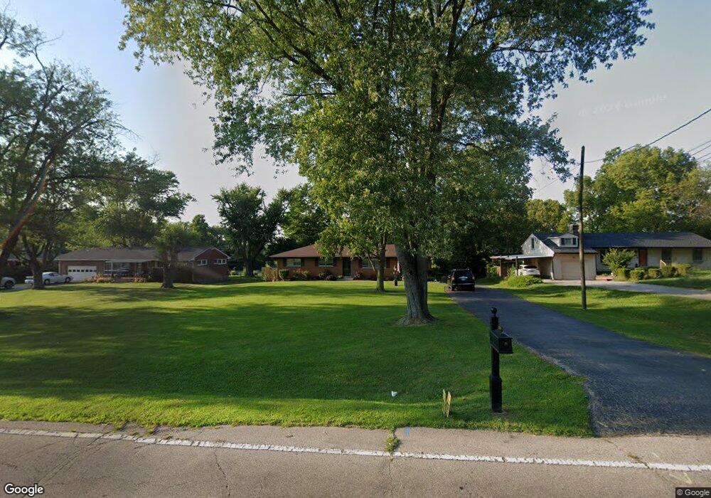
330 MacReady Ave Monroe, OH 45050
Estimated Value: $232,964 - $284,000
3
Beds
2
Baths
1,248
Sq Ft
$211/Sq Ft
Est. Value
About This Home
This home is located at 330 MacReady Ave, Monroe, OH 45050 and is currently estimated at $262,741, approximately $210 per square foot. 330 MacReady Ave is a home located in Butler County with nearby schools including Monroe Primary School, Monroe Elementary School, and Monroe Junior High School.
Ownership History
Date
Name
Owned For
Owner Type
Purchase Details
Closed on
Mar 19, 2012
Sold by
Rose Rebecca Ann
Bought by
Rose Rebecca Ann and Rose Family Trust
Current Estimated Value
Purchase Details
Closed on
Oct 13, 2008
Sold by
Rose Emma Jean
Bought by
Rose Rebecca Ann
Purchase Details
Closed on
Mar 20, 1998
Sold by
Rose Emma Jean
Bought by
Rose Emma Jean and The Emma Jean Rose Declaration Trust
Create a Home Valuation Report for This Property
The Home Valuation Report is an in-depth analysis detailing your home's value as well as a comparison with similar homes in the area
Home Values in the Area
Average Home Value in this Area
Purchase History
| Date | Buyer | Sale Price | Title Company |
|---|---|---|---|
| Rose Rebecca Ann | -- | None Available | |
| Rose Rebecca Ann | -- | Attorney | |
| Rose Emma Jean | -- | -- |
Source: Public Records
Tax History
| Year | Tax Paid | Tax Assessment Tax Assessment Total Assessment is a certain percentage of the fair market value that is determined by local assessors to be the total taxable value of land and additions on the property. | Land | Improvement |
|---|---|---|---|---|
| 2025 | $3,163 | $69,760 | $13,320 | $56,440 |
| 2024 | $3,163 | $69,760 | $13,320 | $56,440 |
| 2023 | $3,121 | $71,940 | $13,320 | $58,620 |
| 2022 | $2,613 | $51,450 | $13,320 | $38,130 |
| 2021 | $2,518 | $51,450 | $13,320 | $38,130 |
| 2020 | $2,608 | $51,450 | $13,320 | $38,130 |
| 2019 | $2,767 | $40,350 | $12,550 | $27,800 |
| 2018 | $2,208 | $40,350 | $12,550 | $27,800 |
| 2017 | $2,254 | $40,350 | $12,550 | $27,800 |
| 2016 | $2,157 | $37,020 | $12,550 | $24,470 |
| 2015 | $2,133 | $37,020 | $12,550 | $24,470 |
| 2014 | $3,740 | $37,020 | $12,550 | $24,470 |
| 2013 | $3,740 | $39,400 | $12,550 | $26,850 |
Source: Public Records
Map
Nearby Homes
- 852 Willowbrook Dr
- 345 Sunset Ct
- 32 W Elm St
- 1753 Weatherstone Cir Unit 13G6
- 921 Heritage Green Dr Unit 9302
- 360 Britton Ln
- 856 Hocking Meadow Cir
- 100 N Main St
- 47 Ethel Dr
- 75 Teil Tree Ct
- 195 Brittony Woods Dr
- 132 Village Ct
- 6893 Gaspar Trail
- 15 Old Orchard Ln
- 155 Keswick Dr
- 513 Austin Smith Dr
- 916 S Main St
- 965 Rustic Ct
- 280 Stillpass Way
- 329 Ridgeview Ln
- 320 MacReady Ave
- 340 MacReady Ave
- 316 MacReady Ave
- 350 MacReady Ave
- 325 MacReady Ave
- 335 MacReady Ave
- 360 MacReady Ave
- 315 MacReady Ave
- 345 MacReady Ave
- 302 MacReady Ave
- 305 MacReady Ave
- 351 MacReady Ave
- 370 MacReady Ave
- 274 MacReady Ave
- 294 MacReady Ave
- 320 Sunset Ct
- 330 Sunset Ct
- 363 MacReady Ave
- 275 MacReady Ave
- 314 Sunset Ct
Your Personal Tour Guide
Ask me questions while you tour the home.