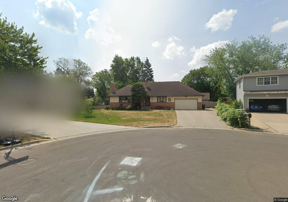
330 Maple Lane Ct Saint Paul, MN 55113
South Owasso NeighborhoodEstimated Value: $471,000 - $527,000
About This Home
This home is located at 330 Maple Lane Ct, Saint Paul, MN 55113 and is currently estimated at $505,295, approximately $340 per square foot. 330 Maple Lane Ct is a home located in Ramsey County with nearby schools including Emmet D. Williams Elementary School, Roseville Area Middle School, and Roseville Area High School.
Ownership History
We collect this data history from publicly available records. To have your information removed, we recommend requesting removal directly through your county’s website.
Purchase Details
Home Financials for this Owner
Home Financials are based on the most recent Mortgage that was taken out on this home.Purchase Details
Home Values in the Area
Average Home Value in this Area
Purchase History
We collect this data history from publicly available records. To have your information removed, we recommend requesting removal directly through your county’s website.
| Date | Buyer | Sale Price | Title Company |
|---|---|---|---|
| $372,000 | Partners Title Llc | ||
| -- | None Available |
Mortgage History
We collect this data history from publicly available records. To have your information removed, we recommend requesting removal directly through your county’s website.
| Date | Status | Borrower | Loan Amount |
|---|---|---|---|
| Open | $316,200 |
Tax History
We collect this data history from publicly available records. To have your information removed, we recommend requesting removal directly through your county’s website.
| Year | Tax Paid | Tax Assessment Tax Assessment Total Assessment is a certain percentage of the fair market value that is determined by local assessors to be the total taxable value of land and additions on the property. | Land | Improvement |
|---|---|---|---|---|
| 2025 | $6,576 | $509,300 | $105,000 | $404,300 |
| 2023 | $6,576 | $464,800 | $94,500 | $370,300 |
| 2022 | $6,332 | $470,800 | $94,500 | $376,300 |
| 2021 | $5,636 | $418,100 | $90,000 | $328,100 |
| 2020 | $5,456 | $398,500 | $80,000 | $318,500 |
| 2019 | $4,076 | $363,900 | $80,000 | $283,900 |
| 2018 | $3,880 | $272,200 | $87,400 | $184,800 |
| 2017 | $3,278 | $254,300 | $87,400 | $166,900 |
| 2016 | $3,212 | $0 | $0 | $0 |
| 2015 | $3,624 | $224,100 | $96,900 | $127,200 |
| 2014 | $3,326 | $0 | $0 | $0 |
Map
- 2970 Western Ave N
- 340 S Owasso Blvd W
- 255 County Road C2 W
- 3022 Highpointe Curve
- 2985 Marion St
- 479 Centennial Dr
- 455 S Owasso Blvd W
- 2972 Woodbridge St
- 2881 Kent St
- 2666 MacKubin St
- 639 Heinel Dr
- 2730 Dale St N Unit D115
- 2730 Dale St N Unit D214
- 2730 Dale St N Unit D309
- 2720 Dale St N Unit C313
- 2710 Dale St N Unit B307
- 2710 Dale St N Unit B107
- 635 Iona Ln
- 556 County Road C W
- 41 Round Lake Trail
- 350 Maple Lane Ct
- 340 Maple Lane Ct
- 362 Maple Lane Ct
- 355 County Road C2 W
- 349 County Road C2 W
- 363 County Road C2 W
- 372 Maple Lane Ct
- 355 Maple Lane Ct
- 363 Maple Lane Ct
- 343 Maple Lane Ct
- 341 County Road C2 W
- 369 County Road C2 W
- 320 Maple Lane Ct
- 373 Maple Lane Ct
- 333 Maple Lane Ct
- 333 County Road C2 W
- 325 Maple Lane Ct
- 2873 Virginia Ave
- 350 Millwood Ave
- 360 Millwood Ave
Ask me questions while you tour the home.