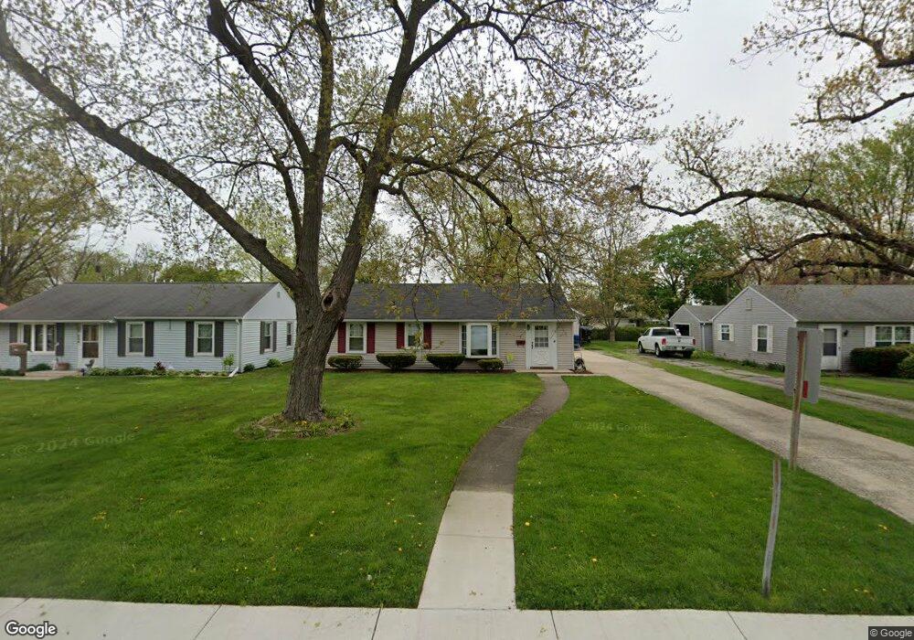
330 Maple Ln Crown Point, IN 46307
Estimated Value: $214,928 - $263,000
3
Beds
1
Bath
1,824
Sq Ft
$130/Sq Ft
Est. Value
About This Home
This home is located at 330 Maple Ln, Crown Point, IN 46307 and is currently estimated at $236,982, approximately $129 per square foot. 330 Maple Ln is a home located in Lake County with nearby schools including Solon Robinson Elementary School, Robert Taft Middle School, and Crown Point High School.
Ownership History
Date
Name
Owned For
Owner Type
Purchase Details
Closed on
Oct 14, 2016
Sold by
Rutherford Nanette A and Friant Nanette A
Bought by
Rutherford Nanette A
Current Estimated Value
Home Financials for this Owner
Home Financials are based on the most recent Mortgage that was taken out on this home.
Original Mortgage
$104,000
Outstanding Balance
$82,809
Interest Rate
3.5%
Mortgage Type
New Conventional
Estimated Equity
$154,173
Purchase Details
Closed on
May 18, 2005
Sold by
Friant Ronald E
Bought by
Friant Nanette A
Create a Home Valuation Report for This Property
The Home Valuation Report is an in-depth analysis detailing your home's value as well as a comparison with similar homes in the area
Home Values in the Area
Average Home Value in this Area
Purchase History
| Date | Buyer | Sale Price | Title Company |
|---|---|---|---|
| Rutherford Nanette A | -- | Meridian Title Corp | |
| Friant Nanette A | -- | -- |
Source: Public Records
Mortgage History
| Date | Status | Borrower | Loan Amount |
|---|---|---|---|
| Open | Rutherford Nanette A | $104,000 |
Source: Public Records
Tax History
| Year | Tax Paid | Tax Assessment Tax Assessment Total Assessment is a certain percentage of the fair market value that is determined by local assessors to be the total taxable value of land and additions on the property. | Land | Improvement |
|---|---|---|---|---|
| 2025 | $1,131 | $144,600 | $30,800 | $113,800 |
| 2024 | $3,457 | $131,600 | $30,800 | $100,800 |
| 2023 | $1,134 | $125,800 | $30,800 | $95,000 |
| 2022 | $1,134 | $122,600 | $30,800 | $91,800 |
| 2021 | $965 | $114,000 | $23,700 | $90,300 |
| 2020 | $1,041 | $116,400 | $23,700 | $92,700 |
| 2019 | $998 | $110,200 | $23,700 | $86,500 |
| 2018 | $1,007 | $107,700 | $23,700 | $84,000 |
| 2017 | $984 | $105,600 | $23,700 | $81,900 |
| 2016 | $953 | $102,800 | $23,700 | $79,100 |
| 2014 | $819 | $100,300 | $23,700 | $76,600 |
| 2013 | $794 | $98,200 | $23,700 | $74,500 |
Source: Public Records
Map
Nearby Homes
- 228 Wood St
- 430 S East St
- 622 E Brookside Dr
- 531 E Joliet St
- 254 E Greenwood Ave
- 109 Elmwood Place
- 943 Pawnee Dr
- 123 Elmwood Place
- 741 Pettibone St
- 319 Michele Ave
- 150 N Ridge St
- 221 E Elizabeth Dr
- 412 W South St
- 516 E North St
- 0 W Joliet St
- 437 Fairview Ave
- 310 N Indiana Ave
- 903 S Main St
- 780 Williams Ct
- 360 N Indiana Ave
Your Personal Tour Guide
Ask me questions while you tour the home.