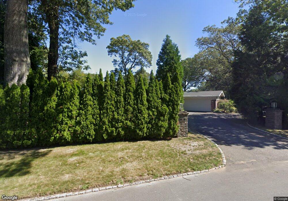
330 Meshanticut Valley Pkwy Cranston, RI 02920
Meshanticut NeighborhoodEstimated Value: $672,125 - $902,000
3
Beds
2
Baths
2,079
Sq Ft
$359/Sq Ft
Est. Value
About This Home
This home is located at 330 Meshanticut Valley Pkwy, Cranston, RI 02920 and is currently estimated at $746,781, approximately $359 per square foot. 330 Meshanticut Valley Pkwy is a home located in Providence County with nearby schools including Woodridge Elementary School, Western Hills Middle School, and Cranston High School West.
Ownership History
Date
Name
Owned For
Owner Type
Purchase Details
Closed on
Jun 24, 1998
Sold by
Economos Theonike
Bought by
Irre Theonike Economos
Current Estimated Value
Create a Home Valuation Report for This Property
The Home Valuation Report is an in-depth analysis detailing your home's value as well as a comparison with similar homes in the area
Home Values in the Area
Average Home Value in this Area
Purchase History
| Date | Buyer | Sale Price | Title Company |
|---|---|---|---|
| Irre Theonike Economos | $200,000 | -- |
Source: Public Records
Mortgage History
| Date | Status | Borrower | Loan Amount |
|---|---|---|---|
| Open | Irre Theonike Economos | $248,000 |
Source: Public Records
Tax History Compared to Growth
Tax History
| Year | Tax Paid | Tax Assessment Tax Assessment Total Assessment is a certain percentage of the fair market value that is determined by local assessors to be the total taxable value of land and additions on the property. | Land | Improvement |
|---|---|---|---|---|
| 2025 | $8,159 | $587,800 | $172,400 | $415,400 |
| 2024 | $8,000 | $587,800 | $172,400 | $415,400 |
| 2023 | $8,369 | $442,800 | $118,800 | $324,000 |
| 2022 | $8,196 | $442,800 | $118,800 | $324,000 |
| 2021 | $7,970 | $442,800 | $118,800 | $324,000 |
| 2020 | $7,872 | $379,000 | $131,600 | $247,400 |
| 2019 | $7,872 | $379,000 | $131,600 | $247,400 |
| 2018 | $7,690 | $379,000 | $131,600 | $247,400 |
| 2017 | $7,855 | $342,400 | $131,600 | $210,800 |
| 2016 | $7,687 | $342,400 | $131,600 | $210,800 |
| 2015 | $7,687 | $342,400 | $131,600 | $210,800 |
| 2014 | $6,964 | $304,900 | $127,300 | $177,600 |
Source: Public Records
Map
Nearby Homes
- 275 Meshanticut Valley Pkwy
- 46 Lilyana Way
- 141 Glen Ridge Rd
- 51 E Bel Air Rd
- 45 Hamden Rd
- 145 E Hill Dr
- 200 Hoffman Ave Unit 505
- 189 Summit Dr
- 203 Dean Ridge Ct
- 7 Oak Tree Ln
- 10 Sheffield Rd
- 132 Hoffman Ave Unit 115
- 132 Hoffman Ave Unit 207
- 132 Hoffman Ave Unit 110
- 446 Budlong Rd
- 38 Brettonwoods Dr
- 143 Hoffman Ave Unit 109
- 143 Hoffman Ave Unit 206
- 28 Hybrid Dr
- 0 Rutland St
- 316 Meshanticut Valley Pkwy
- 245 Brettonwoods Dr
- 6 Deerfield Rd
- 246 Bretton Woods Dr
- 246 Brettonwoods Dr
- 346 Meshanticut Valley Pkwy
- 14 Firglade Dr
- 310 Meshanticut Valley Pkwy
- 310 Meshanicut Valley Pkwy
- 16 Deerfield Rd
- 64 Glen Ridge Rd
- 44 Glen Ridge Rd
- 22 Firglade Dr
- 11 Firglade Dr
- 354 Meshanticut Valley Pkwy
- 70 Glen Ridge Rd
- 231 Brettonwoods Dr
- 234 Brettonwoods Dr
- 298 Meshanticut Valley Pkwy
- 30 Firglade Dr