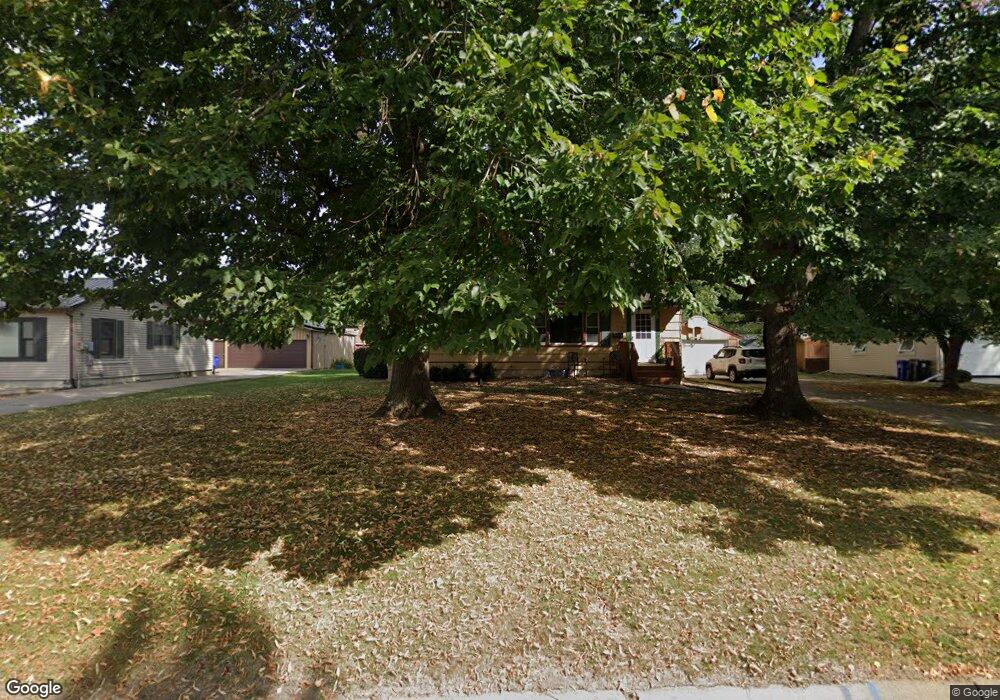
330 N Johnson Ave Ottumwa, IA 52501
Estimated Value: $87,000 - $148,239
3
Beds
1
Bath
1,062
Sq Ft
$113/Sq Ft
Est. Value
About This Home
This home is located at 330 N Johnson Ave, Ottumwa, IA 52501 and is currently estimated at $120,310, approximately $113 per square foot. 330 N Johnson Ave is a home located in Wapello County with nearby schools including Liberty Elementary School, Douma Elementary School, and Evans Middle School.
Ownership History
Date
Name
Owned For
Owner Type
Purchase Details
Closed on
Dec 20, 2024
Sold by
Homestead Group Llc
Bought by
A Guerra Properties Llc
Current Estimated Value
Purchase Details
Closed on
Dec 17, 2021
Sold by
Wilson Mark D and Wilson Connie
Bought by
Salter Cory
Home Financials for this Owner
Home Financials are based on the most recent Mortgage that was taken out on this home.
Original Mortgage
$118,750
Interest Rate
2.98%
Mortgage Type
New Conventional
Create a Home Valuation Report for This Property
The Home Valuation Report is an in-depth analysis detailing your home's value as well as a comparison with similar homes in the area
Home Values in the Area
Average Home Value in this Area
Purchase History
| Date | Buyer | Sale Price | Title Company |
|---|---|---|---|
| A Guerra Properties Llc | $84,000 | None Listed On Document | |
| A Guerra Properties Llc | $84,000 | None Listed On Document | |
| Salter Cory | $125,000 | None Listed On Document |
Source: Public Records
Mortgage History
| Date | Status | Borrower | Loan Amount |
|---|---|---|---|
| Previous Owner | Salter Cory | $118,750 |
Source: Public Records
Tax History Compared to Growth
Tax History
| Year | Tax Paid | Tax Assessment Tax Assessment Total Assessment is a certain percentage of the fair market value that is determined by local assessors to be the total taxable value of land and additions on the property. | Land | Improvement |
|---|---|---|---|---|
| 2025 | $1,910 | $103,470 | $14,700 | $88,770 |
| 2024 | $1,808 | $98,300 | $14,700 | $83,600 |
| 2023 | $1,702 | $98,300 | $14,700 | $83,600 |
| 2022 | $1,732 | $80,110 | $14,700 | $65,410 |
| 2021 | $1,945 | $76,620 | $14,700 | $61,920 |
| 2020 | $1,664 | $73,530 | $14,700 | $58,830 |
| 2019 | $1,706 | $73,530 | $0 | $0 |
| 2018 | $1,652 | $73,530 | $0 | $0 |
| 2017 | $1,690 | $73,530 | $0 | $0 |
| 2016 | $1,766 | $79,404 | $0 | $0 |
| 2015 | $1,770 | $79,404 | $0 | $0 |
| 2014 | $1,744 | $79,404 | $0 | $0 |
Source: Public Records
Map
Nearby Homes
- 1508 Hamilton St
- 1401 W Finley Ave
- 1410 W Finley Ave
- 1005 Hamilton St
- 448 Mckinley Ave
- 117 Lynwood Ave
- 120 Shaul Ave
- 9 Kingsley Dr
- 439 Wildwood Dr
- 745 Pocahontas Ln
- 138 Minnesota St
- 1322 Mowrey Ave
- 1923 Richmond Ave
- 1507 Mowrey Ave
- 513 Lynwood Cir
- 420 S Ferry St
- 1409 Swanson Ave
- 433 W Finley Ave
- 1903 Mowrey Ave
- 1529 Swanson Ave
- 336 N Johnson Ave
- 322 N Johnson Ave
- 340 N Johnson Ave
- 329 Hackworth St
- 316 N Johnson Ave
- 333 Hackworth St
- 337 N Johnson Ave
- 321 Hackworth St
- 331 N Johnson Ave
- 335 N Johnson Ave
- 327 N Johnson Ave
- 1320 Greenwood Dr
- 341 N Johnson Ave
- 315 Hackworth St
- 337 Hackworth St
- 319 N Johnson Ave
- 315 N Johnson Ave
- 341 Hackworth St
- 1315 Chester Ave
- 1315 Chester Ave