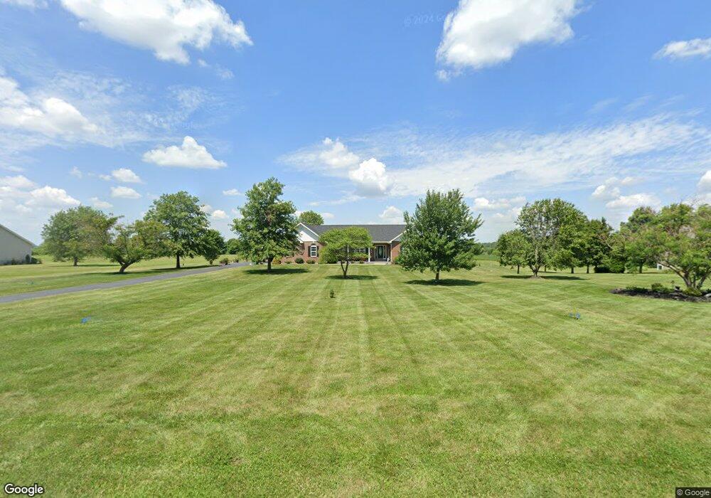
330 N Quail Point Dr O Fallon, MO 63366
Estimated Value: $523,000 - $628,000
4
Beds
4
Baths
2,044
Sq Ft
$287/Sq Ft
Est. Value
About This Home
This home is located at 330 N Quail Point Dr, O Fallon, MO 63366 and is currently estimated at $587,152, approximately $287 per square foot. 330 N Quail Point Dr is a home located in St. Charles County with nearby schools including Mount Hope Elementary School, Fort Zumwalt North Middle School, and Fort Zumwalt North High School.
Ownership History
Date
Name
Owned For
Owner Type
Purchase Details
Closed on
Nov 23, 2010
Sold by
Overkamp Travis
Bought by
The William R Guenther & Doreta J Guenth
Current Estimated Value
Home Financials for this Owner
Home Financials are based on the most recent Mortgage that was taken out on this home.
Original Mortgage
$238,400
Outstanding Balance
$156,892
Interest Rate
4.22%
Mortgage Type
New Conventional
Estimated Equity
$430,261
Purchase Details
Closed on
Aug 16, 2004
Sold by
Banden Michael R and Banden Pamela L
Bought by
Dyer Thomas W and Dyer Mary E
Purchase Details
Closed on
Aug 17, 2001
Sold by
Dyer William C and Dyer Jean L
Bought by
Banden Michael R and Banden Pamela L
Home Financials for this Owner
Home Financials are based on the most recent Mortgage that was taken out on this home.
Original Mortgage
$31,200
Interest Rate
7.16%
Create a Home Valuation Report for This Property
The Home Valuation Report is an in-depth analysis detailing your home's value as well as a comparison with similar homes in the area
Home Values in the Area
Average Home Value in this Area
Purchase History
| Date | Buyer | Sale Price | Title Company |
|---|---|---|---|
| The William R Guenther & Doreta J Guenth | -- | Integrity Land Title Co Inc | |
| Overkamp Travis | -- | Integrity Land Title Co Inc | |
| Dyer Thomas W | -- | Etc | |
| Banden Michael R | -- | -- |
Source: Public Records
Mortgage History
| Date | Status | Borrower | Loan Amount |
|---|---|---|---|
| Open | The William R Guenther & Doreta J Guenth | $238,400 | |
| Previous Owner | Banden Michael R | $31,200 |
Source: Public Records
Tax History
| Year | Tax Paid | Tax Assessment Tax Assessment Total Assessment is a certain percentage of the fair market value that is determined by local assessors to be the total taxable value of land and additions on the property. | Land | Improvement |
|---|---|---|---|---|
| 2025 | $5,819 | $118,538 | -- | -- |
| 2023 | $5,818 | $105,807 | -- | -- |
| 2022 | $5,229 | $89,261 | $0 | $0 |
| 2021 | $5,236 | $89,261 | $0 | $0 |
| 2020 | $4,761 | $77,078 | $0 | $0 |
| 2019 | $4,744 | $77,078 | $0 | $0 |
| 2018 | $4,526 | $70,609 | $0 | $0 |
| 2017 | $4,500 | $70,609 | $0 | $0 |
| 2016 | $4,172 | $62,628 | $0 | $0 |
| 2015 | $3,849 | $62,628 | $0 | $0 |
| 2014 | $3,702 | $59,023 | $0 | $0 |
Source: Public Records
Map
Nearby Homes
- 523 Saint John Ln
- 2140 Flatwoods Rd
- 0 Old Setter Rd
- 0000 Old Setter Rd
- 101 Sunrise Ln
- 244 Autumn Hallow Ct
- 250 Autumn Hallow Ct
- 238 Autumn Hallow Ct
- 251 Autumn Hallow Ct
- 232 Autumn Hallow Ct
- 239 Autumn Hallow Ct
- 108 Harvest Glen Ct
- 220 Autumn Hallow Ct
- 102 Harvest Glen Ct
- 214 Autumn Hallow Ct
- 114 Harvest Glen Ct
- 109 Harvest Glen Ct
- 103 Harvest Glen Ct
- 2 the Willow at the Grove
- 2 Rebecca at the Grove
- 334 N Quail Point Dr
- 326 N Quail Point Dr
- 325 N Quail Point Dr
- 338 N Quail Point Dr
- 321 N Quail Point Dr
- 329 N Quail Point Dr
- 322 N Quail Point Dr
- 333 N Quail Point Dr
- 317 N Quail Point Dr
- 318 N Quail Point Dr
- 337 N Quail Point Dr
- 313 N Quail Point Dr
- 341 N Quail Point Dr
- 314 N Quail Point Dr
- 309 N Quail Point Dr
- 310 N Quail Point Dr
- 305 N Quail Point Dr
- 306 N Quail Point Dr
- 301 N Quail Point Dr
- 302 N Quail Point Dr
Your Personal Tour Guide
Ask me questions while you tour the home.