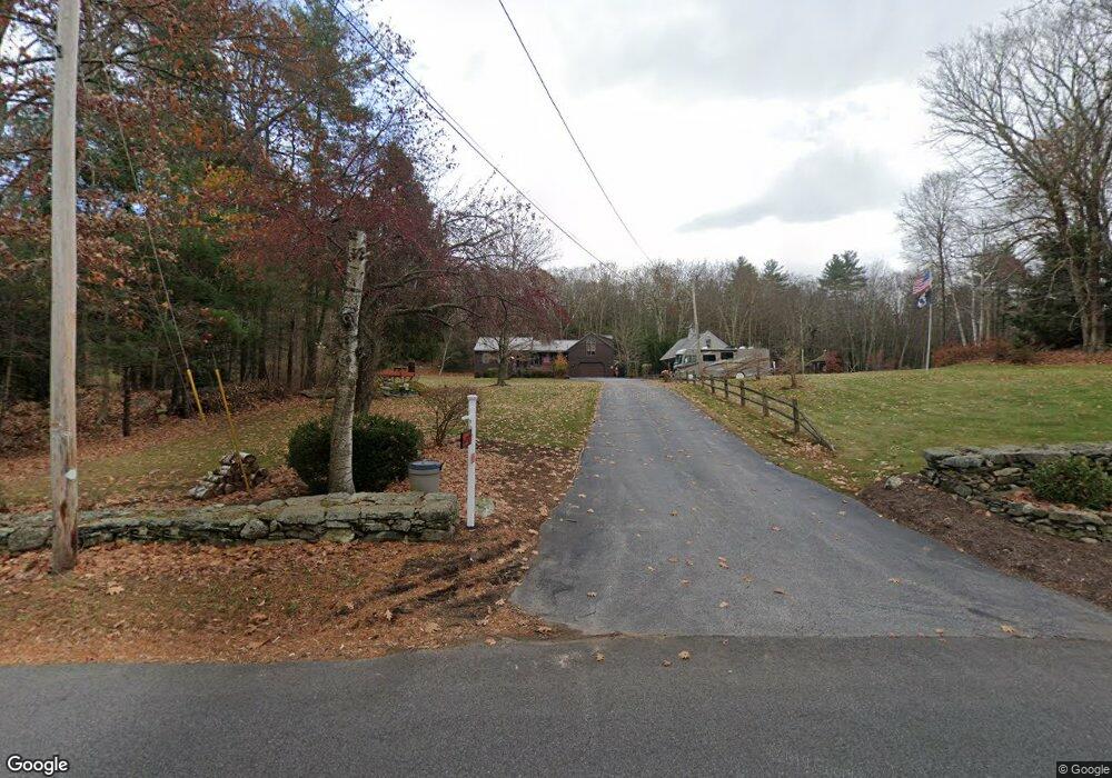
330 New Boston Rd Sturbridge, MA 01566
Estimated Value: $531,000 - $657,000
2
Beds
2
Baths
1,926
Sq Ft
$301/Sq Ft
Est. Value
About This Home
This home is located at 330 New Boston Rd, Sturbridge, MA 01566 and is currently estimated at $579,118, approximately $300 per square foot. 330 New Boston Rd is a home located in Worcester County with nearby schools including Burgess Elementary School, Tantasqua Regional Junior High School, and Tantasqua Regional High School.
Ownership History
Date
Name
Owned For
Owner Type
Purchase Details
Closed on
Jun 24, 1996
Sold by
Lavergne Ellwood C
Bought by
Lepage Paul C and Lepage Barbara H
Current Estimated Value
Create a Home Valuation Report for This Property
The Home Valuation Report is an in-depth analysis detailing your home's value as well as a comparison with similar homes in the area
Home Values in the Area
Average Home Value in this Area
Purchase History
| Date | Buyer | Sale Price | Title Company |
|---|---|---|---|
| Lepage Paul C | $1,800 | -- |
Source: Public Records
Mortgage History
| Date | Status | Borrower | Loan Amount |
|---|---|---|---|
| Open | Lepage Paul C | $20,000 | |
| Open | Lepage Paul C | $65,000 | |
| Previous Owner | Lepage Paul C | $70,000 |
Source: Public Records
Tax History Compared to Growth
Tax History
| Year | Tax Paid | Tax Assessment Tax Assessment Total Assessment is a certain percentage of the fair market value that is determined by local assessors to be the total taxable value of land and additions on the property. | Land | Improvement |
|---|---|---|---|---|
| 2025 | $8,221 | $516,100 | $85,300 | $430,800 |
| 2024 | $7,442 | $451,300 | $83,600 | $367,700 |
| 2023 | $7,067 | $391,100 | $72,700 | $318,400 |
| 2022 | $6,827 | $356,500 | $65,700 | $290,800 |
| 2021 | $6,185 | $325,200 | $62,700 | $262,500 |
| 2020 | $6,185 | $325,200 | $62,700 | $262,500 |
| 2019 | $5,908 | $308,500 | $64,400 | $244,100 |
| 2018 | $5,698 | $293,100 | $61,300 | $231,800 |
| 2017 | $5,446 | $280,700 | $59,200 | $221,500 |
| 2016 | $5,588 | $290,900 | $57,400 | $233,500 |
| 2015 | $5,474 | $284,500 | $57,400 | $227,100 |
Source: Public Records
Map
Nearby Homes
- 323 New Boston Rd
- 132 Lane 9
- 60 Allen Rd
- 41 Bushnell Rd
- 16 Rice Corner Rd
- 150 Podunk Rd
- 7 Woodlawn Dr
- 213 Cedar St
- 146-A Cedar St
- 146-A. Cedar St
- 2 Sprucedale Dr
- 29, 31, 33 Ladd Rd
- 79 Paradise Ln
- 6 Jerry Rd
- 2 Tupelo Dr
- 28 Woodside Cir
- 20 Audubon Way
- 220 Hemlock Path
- 22 Mountain Brook Rd
- 43 Mountain Brook Rd
- 328 New Boston Rd
- 331 New Boston Rd
- 332 New Boston Rd
- 327 New Boston Rd
- 324 New Boston Rd
- 329 New Boston Rd
- 325 New Boston Rd
- 333 New Boston Rd
- 335 New Boston Rd
- 334 New Boston Rd
- 49 S Shore Dr
- 340 New Boston Rd
- 340 New Boston Rd Unit 1
- 51 S Shore Dr
- 341 New Boston Rd
- 43 S Shore Dr
- 339 New Boston Rd
- 100 S Shore Dr
- 102 S Shore Dr
- 343 New Boston Rd