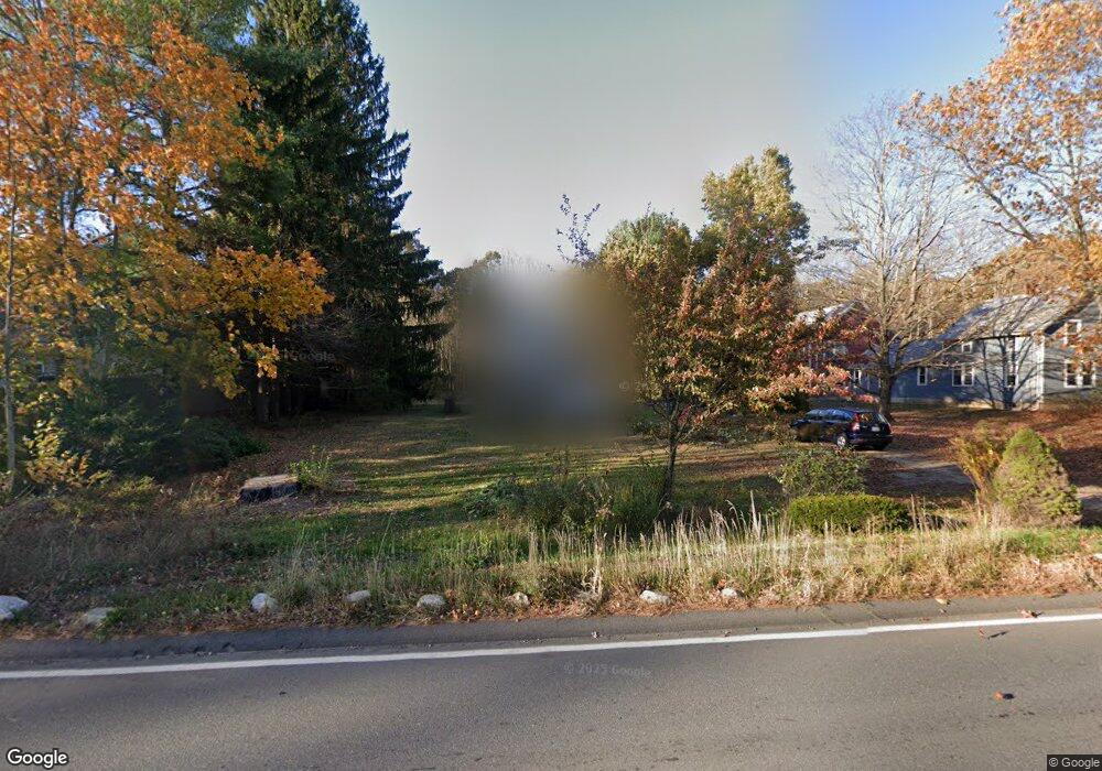
330 Pine St Amherst, MA 01002
Estimated Value: $387,684 - $453,000
3
Beds
1
Bath
1,210
Sq Ft
$351/Sq Ft
Est. Value
About This Home
This home is located at 330 Pine St, Amherst, MA 01002 and is currently estimated at $424,921, approximately $351 per square foot. 330 Pine St is a home located in Hampshire County with nearby schools including Wildwood Elementary School, Amherst Regional Middle School, and Amherst Regional High School.
Ownership History
Date
Name
Owned For
Owner Type
Purchase Details
Closed on
Jul 11, 2024
Sold by
Berrio Koren R
Bought by
Koren R Berrio Ret and Berrio
Current Estimated Value
Purchase Details
Closed on
Jul 24, 2009
Sold by
Berrio Koren R and Kraus Woodford G
Bought by
Berrio Koren R
Home Financials for this Owner
Home Financials are based on the most recent Mortgage that was taken out on this home.
Original Mortgage
$142,450
Interest Rate
5.36%
Mortgage Type
FHA
Purchase Details
Closed on
Feb 16, 2001
Sold by
Therrien Alfred J and Therrien Barbara
Bought by
Berrio Koren R and Kraus Woodford G
Create a Home Valuation Report for This Property
The Home Valuation Report is an in-depth analysis detailing your home's value as well as a comparison with similar homes in the area
Home Values in the Area
Average Home Value in this Area
Purchase History
| Date | Buyer | Sale Price | Title Company |
|---|---|---|---|
| Koren R Berrio Ret | -- | None Available | |
| Koren R Berrio Ret | -- | None Available | |
| Berrio Koren R | -- | -- | |
| Berrio Koren R | -- | -- | |
| Berrio Koren R | $129,900 | -- | |
| Berrio Koren R | -- | -- | |
| Berrio Koren R | $129,900 | -- |
Source: Public Records
Mortgage History
| Date | Status | Borrower | Loan Amount |
|---|---|---|---|
| Previous Owner | Berrio Koren R | $142,450 | |
| Previous Owner | Berrio Koren R | $142,450 |
Source: Public Records
Tax History
| Year | Tax Paid | Tax Assessment Tax Assessment Total Assessment is a certain percentage of the fair market value that is determined by local assessors to be the total taxable value of land and additions on the property. | Land | Improvement |
|---|---|---|---|---|
| 2025 | $59 | $328,200 | $161,700 | $166,500 |
| 2024 | $5,734 | $309,800 | $152,700 | $157,100 |
| 2023 | $5,511 | $274,200 | $139,100 | $135,100 |
| 2022 | $5,213 | $245,100 | $126,300 | $118,800 |
| 2021 | $5,027 | $230,400 | $117,100 | $113,300 |
| 2020 | $4,912 | $230,400 | $117,100 | $113,300 |
| 2019 | $4,816 | $220,900 | $117,100 | $103,800 |
| 2018 | $4,670 | $220,900 | $117,100 | $103,800 |
| 2017 | $4,678 | $214,300 | $111,700 | $102,600 |
| 2016 | $4,547 | $214,300 | $111,700 | $102,600 |
| 2015 | $4,375 | $213,000 | $111,700 | $101,300 |
Source: Public Records
Map
Nearby Homes
- 12 Teawaddle Ln
- 167 Rolling Ridge Rd
- Lot A Kingman Rd
- 208 Rolling Ridge Rd
- 185 Cherry Ln
- 113 Juggler Meadow Rd
- 50 Mount Pleasant
- Lot A January Hills Rd
- 60 Red Gate Ln
- 0 Red Gate Ln Unit 73348273
- 242 N East St Unit 24
- Lot 3 Roosevelt St
- 38 S Plain Rd
- 6 Shattuck Rd
- 3 Frost Ln
- 48 Gray St
- 174 Lincoln Ave
- 100 Depot Rd
- 0 Main St
- 75 Amity Place Unit 75
Your Personal Tour Guide
Ask me questions while you tour the home.