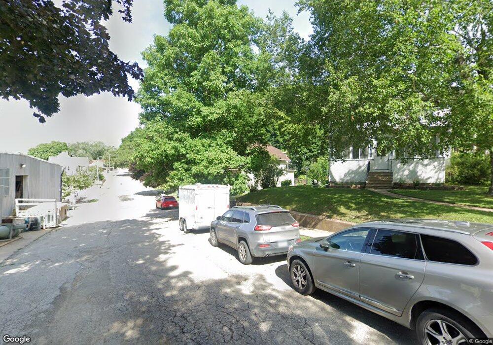
330 Platt St Lansing, IA 52151
Estimated Value: $122,000 - $241,000
3
Beds
4
Baths
1,543
Sq Ft
$126/Sq Ft
Est. Value
About This Home
This home is located at 330 Platt St, Lansing, IA 52151 and is currently estimated at $194,301, approximately $125 per square foot. 330 Platt St is a home with nearby schools including New Albin Elementary School, Lansing Middle School, and Kee High School.
Ownership History
Date
Name
Owned For
Owner Type
Purchase Details
Closed on
Nov 27, 2023
Sold by
Hogan Michael L and Hogan Mary Diane
Bought by
Finn Kelli Colleen
Current Estimated Value
Home Financials for this Owner
Home Financials are based on the most recent Mortgage that was taken out on this home.
Original Mortgage
$72,500
Outstanding Balance
$54,357
Interest Rate
6.92%
Mortgage Type
New Conventional
Estimated Equity
$139,944
Create a Home Valuation Report for This Property
The Home Valuation Report is an in-depth analysis detailing your home's value as well as a comparison with similar homes in the area
Home Values in the Area
Average Home Value in this Area
Purchase History
| Date | Buyer | Sale Price | Title Company |
|---|---|---|---|
| Finn Kelli Colleen | $72,500 | None Listed On Document |
Source: Public Records
Mortgage History
| Date | Status | Borrower | Loan Amount |
|---|---|---|---|
| Open | Finn Kelli Colleen | $72,500 |
Source: Public Records
Tax History Compared to Growth
Tax History
| Year | Tax Paid | Tax Assessment Tax Assessment Total Assessment is a certain percentage of the fair market value that is determined by local assessors to be the total taxable value of land and additions on the property. | Land | Improvement |
|---|---|---|---|---|
| 2025 | $2,880 | $184,700 | $16,900 | $167,800 |
| 2024 | $2,880 | $164,100 | $8,300 | $155,800 |
| 2023 | $2,926 | $164,100 | $8,300 | $155,800 |
| 2022 | $2,600 | $127,200 | $8,300 | $118,900 |
| 2021 | $2,632 | $127,200 | $8,300 | $118,900 |
| 2020 | $2,632 | $121,500 | $8,300 | $113,200 |
| 2019 | $2,152 | $105,800 | $0 | $0 |
| 2018 | $2,112 | $105,800 | $0 | $0 |
| 2017 | $2,112 | $97,200 | $0 | $0 |
| 2016 | $1,986 | $97,200 | $0 | $0 |
| 2015 | $1,986 | $97,200 | $0 | $0 |
| 2014 | $1,854 | $96,600 | $0 | $0 |
Source: Public Records
Map
Nearby Homes
- 371 Diagonal St
- 100 N 2nd St Unit A
- 320 Diagonal St
- 197 Main St
- 73 Shaw St
- 1381 N 2nd St
- 370 Knolls St
- 1930 Hideaway Hills Ln Unit 29
- 2183 Waterview Ln
- 1906 Blue Heron Ln
- 1892 Great River Rd
- 1886 Great River Rd
- 2279 Bosco Bluff Ln
- 65567 Grand View Dr
- Lot 6 Grand View Dr
- 11215 Midway Ct
- 11345 Grand View Dr
- 3 Park Ct Unit Lot 3
- 65566 Desoto Ridge Dr
- 0 Desoto Bluffs Dr Unit 1936123