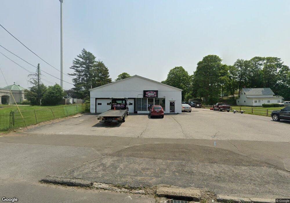
330 River Rd Shelton, CT 06484
Estimated Value: $637,655
Studio
--
Bath
4,596
Sq Ft
$139/Sq Ft
Est. Value
About This Home
This home is located at 330 River Rd, Shelton, CT 06484 and is currently estimated at $637,655, approximately $138 per square foot. 330 River Rd is a home located in Fairfield County with nearby schools including Sunnyside Elementary School, Perry Hill School, and Shelton Intermediate School.
Ownership History
Date
Name
Owned For
Owner Type
Purchase Details
Closed on
Oct 18, 2022
Sold by
Housatonic Leasing Agency
Bought by
330 River Road Assoc
Current Estimated Value
Purchase Details
Closed on
Jul 9, 2019
Sold by
Rabbitt Linda
Bought by
Housatonic Leasing Agency
Purchase Details
Closed on
Jul 5, 2019
Sold by
Curtiss Suzanne
Bought by
Housatonic Leasing Agency
Purchase Details
Closed on
Jul 3, 2019
Sold by
Curtiss Dorothy and Zenisky Marie
Bought by
Housatonic Leasing Agency
Create a Home Valuation Report for This Property
The Home Valuation Report is an in-depth analysis detailing your home's value as well as a comparison with similar homes in the area
Home Values in the Area
Average Home Value in this Area
Purchase History
| Date | Buyer | Sale Price | Title Company |
|---|---|---|---|
| 330 River Road Assoc | -- | None Available | |
| 330 River Road Assoc | -- | None Available | |
| Housatonic Leasing Agency | -- | -- | |
| Housatonic Leasing Agency | -- | -- | |
| Housatonic Leasing Agency | -- | -- | |
| Housatonic Leasing Agency | -- | -- | |
| Housatonic Leasing Agency | -- | -- | |
| Housatonic Leasing Agency | -- | -- |
Source: Public Records
Tax History
| Year | Tax Paid | Tax Assessment Tax Assessment Total Assessment is a certain percentage of the fair market value that is determined by local assessors to be the total taxable value of land and additions on the property. | Land | Improvement |
|---|---|---|---|---|
| 2025 | $5,787 | $307,510 | $146,860 | $160,650 |
| 2024 | $5,898 | $307,510 | $146,860 | $160,650 |
| 2023 | $5,372 | $307,510 | $146,860 | $160,650 |
| 2022 | $5,296 | $303,170 | $142,520 | $160,650 |
| 2021 | $5,422 | $246,120 | $50,050 | $196,070 |
| 2020 | $5,518 | $246,120 | $50,050 | $196,070 |
| 2019 | $5,518 | $246,120 | $50,050 | $196,070 |
| 2017 | $5,466 | $246,120 | $50,050 | $196,070 |
| 2015 | $4,493 | $201,390 | $48,650 | $152,740 |
| 2014 | $4,493 | $201,390 | $48,650 | $152,740 |
Source: Public Records
Map
Nearby Homes
- 223 River Rd
- 249 Coram Rd
- 4 Rivendell Dr
- 74 Victory St
- 500 River Rd Unit 3
- 112 River Rd
- 1 Windward Way Unit 1
- 22 Jenyfer Ct
- 11 Westminster Ave
- 39 Westminster Ave
- 0 Harvard Ave
- 847 Glenbrook Rd
- 126 Wells View Rd
- 15 Woods View Ln
- 10 Woods View Ln
- 26 Bunker Hill Cir
- 0 Wells Ave
- 18 Woods Way Dr
- 29 Toas St
- 11A Derby-Milford Rd
Your Personal Tour Guide
Ask me questions while you tour the home.