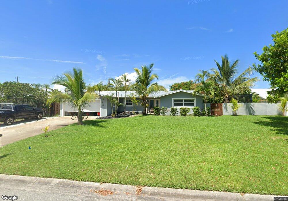
330 Sheridan Ave Satellite Beach, FL 32937
Estimated Value: $493,000 - $562,000
3
Beds
2
Baths
1,580
Sq Ft
$336/Sq Ft
Est. Value
About This Home
This home is located at 330 Sheridan Ave, Satellite Beach, FL 32937 and is currently estimated at $530,220, approximately $335 per square foot. 330 Sheridan Ave is a home located in Brevard County with nearby schools including Spessard L. Holland Elementary School, Satellite Senior High School, and DeLaura Middle School.
Ownership History
Date
Name
Owned For
Owner Type
Purchase Details
Closed on
May 31, 2011
Sold by
Guisewite Robert H
Bought by
Mazza Mauro E and Mazza Stephanie J
Current Estimated Value
Home Financials for this Owner
Home Financials are based on the most recent Mortgage that was taken out on this home.
Original Mortgage
$157,893
Outstanding Balance
$109,662
Interest Rate
4.79%
Estimated Equity
$420,558
Purchase Details
Closed on
Dec 14, 2005
Sold by
Guisewite Lois Ann
Bought by
Guisewite Robert H
Purchase Details
Closed on
Sep 23, 2004
Sold by
Guisewite Lois Ann
Bought by
Guisewite Robert H
Create a Home Valuation Report for This Property
The Home Valuation Report is an in-depth analysis detailing your home's value as well as a comparison with similar homes in the area
Home Values in the Area
Average Home Value in this Area
Purchase History
| Date | Buyer | Sale Price | Title Company |
|---|---|---|---|
| Mazza Mauro E | $162,000 | Liberty Maximum Title | |
| Guisewite Robert H | -- | -- | |
| Guisewite Robert H | -- | -- |
Source: Public Records
Mortgage History
| Date | Status | Borrower | Loan Amount |
|---|---|---|---|
| Open | Mazza Mauro E | $157,893 |
Source: Public Records
Tax History Compared to Growth
Tax History
| Year | Tax Paid | Tax Assessment Tax Assessment Total Assessment is a certain percentage of the fair market value that is determined by local assessors to be the total taxable value of land and additions on the property. | Land | Improvement |
|---|---|---|---|---|
| 2025 | $2,318 | $158,360 | -- | -- |
| 2024 | $2,274 | $153,900 | -- | -- |
| 2023 | $2,274 | $149,420 | $0 | $0 |
| 2022 | $2,123 | $145,070 | $0 | $0 |
| 2021 | $2,177 | $140,850 | $0 | $0 |
| 2020 | $2,166 | $138,910 | $0 | $0 |
| 2019 | $2,146 | $135,790 | $0 | $0 |
| 2018 | $2,143 | $133,260 | $0 | $0 |
| 2017 | $1,986 | $130,520 | $0 | $0 |
| 2016 | $1,987 | $127,840 | $88,000 | $39,840 |
| 2015 | $2,034 | $126,960 | $77,000 | $49,960 |
| 2014 | $2,034 | $125,960 | $71,500 | $54,460 |
Source: Public Records
Map
Nearby Homes
- 200 Jason Ct
- 240 Sheridan Ave
- 355 Jackson Ave
- 325 Park Ave
- 348 Sherwood Ave
- 225 Hedgecock Ct
- 130 Roosevelt Ave Unit 207
- 445 Park Ave
- 129 Seawind Dr Unit 25
- 320 Glenwood Ave
- 527 Wilson Ave
- 520 Lee Ave
- 1125 Highway A1a Unit 903
- 1125 Highway A1a Unit 501
- 1125 Highway A1a Unit 504
- 1175 Highway A1a Unit 405
- 1175 Highway A1a Unit 506
- 1085 Highway A1a Unit 1202
- 702 Mar Brisa Ct Unit U702
- 545 Teakwood Ave
- 338 Sheridan Ave
- 300 Sheridan Ave
- 321 Wilson Ave
- 325 Wilson Ave
- 305 Wilson Ave
- 340 Sheridan Ave
- 325 Sheridan Ave
- 305 Sheridan Ave
- 335 Sheridan Ave
- 335 Wilson Ave
- 345 Sheridan Ave
- 310 Roosevelt Ave
- 326 Wilson Ave
- 310 Wilson Ave
- 290 Sheridan Ave
- 300 Roosevelt Ave
- 345 Wilson Ave Unit 382
- 345 Wilson Ave
- 320 Roosevelt Ave