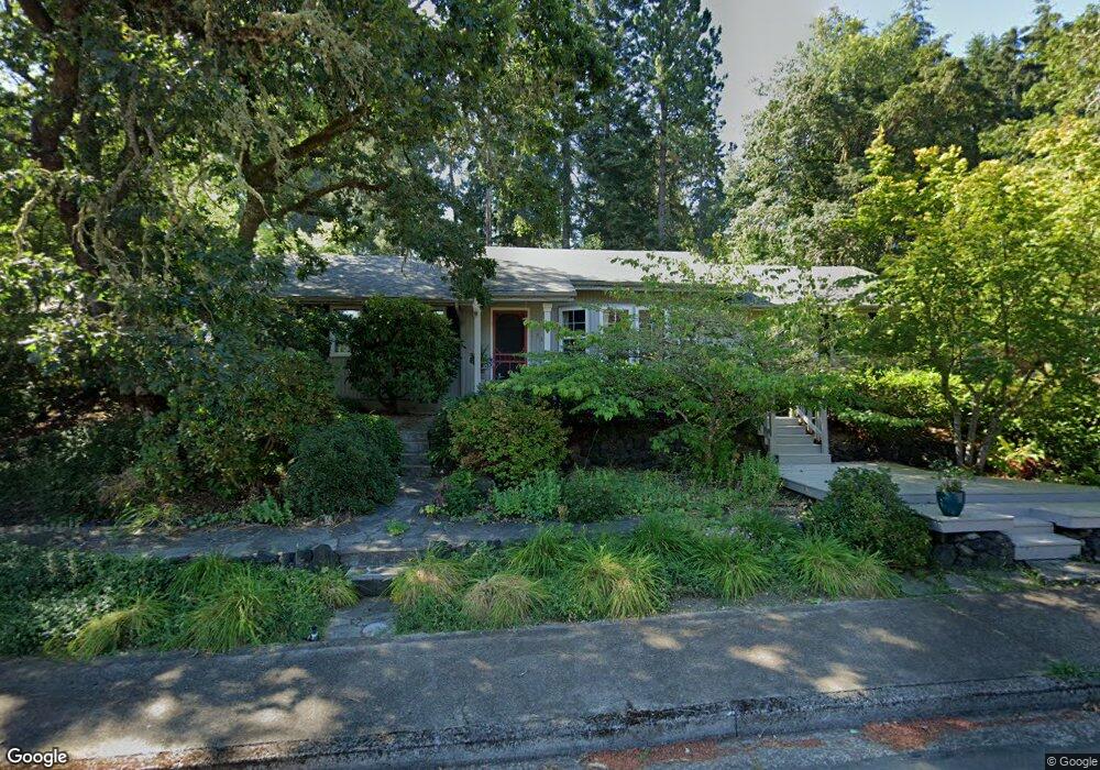
330 W 38th Ave Eugene, OR 97405
Crest Drive NeighborhoodEstimated Value: $532,142 - $587,000
3
Beds
2
Baths
1,650
Sq Ft
$341/Sq Ft
Est. Value
About This Home
This home is located at 330 W 38th Ave, Eugene, OR 97405 and is currently estimated at $562,286, approximately $340 per square foot. 330 W 38th Ave is a home located in Lane County with nearby schools including Edgewood Community Elementary School, Spencer Butte Middle School, and South Eugene High School.
Ownership History
Date
Name
Owned For
Owner Type
Purchase Details
Closed on
May 23, 2002
Sold by
Podelco Grant and Podelco Deana
Bought by
Miller Lance and Miller Holly
Current Estimated Value
Home Financials for this Owner
Home Financials are based on the most recent Mortgage that was taken out on this home.
Original Mortgage
$135,500
Outstanding Balance
$56,492
Interest Rate
6.89%
Estimated Equity
$505,794
Purchase Details
Closed on
Jan 12, 2000
Sold by
Deboard Randall K and Deboard Sandra L
Bought by
Podelco Grant and Podelco Deana
Home Financials for this Owner
Home Financials are based on the most recent Mortgage that was taken out on this home.
Original Mortgage
$169,650
Interest Rate
7.84%
Create a Home Valuation Report for This Property
The Home Valuation Report is an in-depth analysis detailing your home's value as well as a comparison with similar homes in the area
Home Values in the Area
Average Home Value in this Area
Purchase History
| Date | Buyer | Sale Price | Title Company |
|---|---|---|---|
| Miller Lance | $192,000 | Cascade Title Co | |
| Podelco Grant | $178,600 | Fidelity National Title Ins |
Source: Public Records
Mortgage History
| Date | Status | Borrower | Loan Amount |
|---|---|---|---|
| Open | Miller Lance | $135,500 | |
| Previous Owner | Podelco Grant | $169,650 |
Source: Public Records
Tax History
| Year | Tax Paid | Tax Assessment Tax Assessment Total Assessment is a certain percentage of the fair market value that is determined by local assessors to be the total taxable value of land and additions on the property. | Land | Improvement |
|---|---|---|---|---|
| 2025 | $5,595 | $287,182 | -- | -- |
| 2024 | $5,526 | $278,818 | -- | -- |
| 2023 | $5,526 | $270,698 | $0 | $0 |
| 2022 | $5,177 | $262,814 | $0 | $0 |
| 2021 | $4,862 | $255,160 | $0 | $0 |
| 2020 | $4,879 | $247,729 | $0 | $0 |
| 2019 | $4,712 | $240,514 | $0 | $0 |
| 2018 | $4,425 | $226,708 | $0 | $0 |
| 2017 | $4,188 | $226,708 | $0 | $0 |
| 2016 | $4,011 | $220,105 | $0 | $0 |
| 2015 | $3,895 | $213,694 | $0 | $0 |
| 2014 | $3,834 | $207,470 | $0 | $0 |
Source: Public Records
Map
Nearby Homes
- 320 Dellwood Dr
- 357 W 37th Ave
- 3593 Lawrence St
- 453 Dellwood Dr
- 3854 Monroe St
- 3872 Monroe St
- 806 Sundance St
- 75 W 35th Place
- 605 Fulvue Dr
- 0 Hidden Meadows
- 350 Loma Linda Ln
- 170 E 40th Ave
- 275 E 39th Ave
- 0 Pine View Ct Unit 758820410
- 1 Storey Blvd
- 2 Storey Blvd
- 17 Westbrook Way
- 21 Westbrook Way
- 4040 Southpointe Dr
- 784 Brookside Dr
Your Personal Tour Guide
Ask me questions while you tour the home.