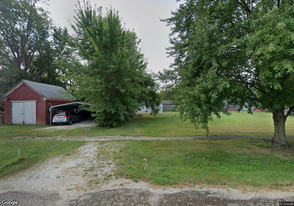
330 W Tremont St Waverly, IL 62692
Estimated Value: $76,000 - $96,000
--
Bed
--
Bath
--
Sq Ft
0.66
Acres
About This Home
This home is located at 330 W Tremont St, Waverly, IL 62692 and is currently estimated at $86,333. 330 W Tremont St is a home located in Morgan County with nearby schools including Waverly Elementary School and Waverly Junior/Senior High School.
Ownership History
Date
Name
Owned For
Owner Type
Purchase Details
Closed on
Mar 30, 2023
Sold by
Mitchell Brenda S
Bought by
Feagans Ronnie E and Feagans Kristy Frank
Current Estimated Value
Home Financials for this Owner
Home Financials are based on the most recent Mortgage that was taken out on this home.
Original Mortgage
$132,000
Outstanding Balance
$128,438
Interest Rate
6.76%
Mortgage Type
New Conventional
Estimated Equity
-$42,105
Purchase Details
Closed on
Oct 31, 2007
Sold by
Mitchell Gerald G
Bought by
Mitchell Brenda S
Create a Home Valuation Report for This Property
The Home Valuation Report is an in-depth analysis detailing your home's value as well as a comparison with similar homes in the area
Home Values in the Area
Average Home Value in this Area
Purchase History
| Date | Buyer | Sale Price | Title Company |
|---|---|---|---|
| Feagans Ronnie E | $110,000,000 | None Listed On Document | |
| Mitchell Brenda S | -- | None Available |
Source: Public Records
Mortgage History
| Date | Status | Borrower | Loan Amount |
|---|---|---|---|
| Open | Feagans Ronnie E | $132,000 |
Source: Public Records
Tax History Compared to Growth
Tax History
| Year | Tax Paid | Tax Assessment Tax Assessment Total Assessment is a certain percentage of the fair market value that is determined by local assessors to be the total taxable value of land and additions on the property. | Land | Improvement |
|---|---|---|---|---|
| 2024 | $685 | $8,130 | $6,930 | $1,200 |
| 2023 | $709 | $8,130 | $6,930 | $1,200 |
| 2022 | $457 | $8,130 | $6,930 | $1,200 |
| 2021 | $634 | $8,380 | $6,930 | $1,450 |
| 2020 | $625 | $7,770 | $5,110 | $2,660 |
| 2019 | $621 | $7,690 | $5,110 | $2,580 |
| 2018 | $620 | $7,690 | $5,110 | $2,580 |
| 2017 | $644 | $8,100 | $5,380 | $2,720 |
| 2016 | $653 | $8,100 | $5,380 | $2,720 |
| 2015 | $656 | $8,100 | $5,380 | $2,720 |
| 2014 | $656 | $7,940 | $5,270 | $2,670 |
| 2013 | $652 | $7,940 | $5,270 | $2,670 |
Source: Public Records
Map
Nearby Homes
- 121 E Tremont St
- 367 Ayers St
- 150 E Tanner St
- 547 Seiz Rd
- 969 Duewer Rd
- 204 E Prairie St
- 34831 Greenland Rd
- Lots 2-4 Barton St
- 32624 Route 111
- 402 Carson St
- 202 Evans St
- 0 Crow Rd Unit Lot WP001 23042120
- 2750 Nortonville Rd
- 406 S Benton Unit 1
- 720 Molly Ln
- 60 Frank St
- 324 Liberty Ln
- 1214 W Jefferson St Unit 1
- 2538 Loami Rd
- 6716 Tower Heights Rd
- 311 W Temple St
- 243 N Brooks St
- 211 N Brooks St
- 289 N Brooks St
- 321 W Temple St
- 325 W Temple St
- 348 W Tremont St
- 322 W Temple St
- 312 W Temple St
- 330 W Temple St
- 199 N Brooks St
- 338 W Temple St
- 333 W Temple St
- 360 W Tremont St
- 321 W Tremont St
- 327 W Tremont St
- 333 W Tremont St
- 256 N Brooks St
- 291 W Temple St
- 292 W Tremont St