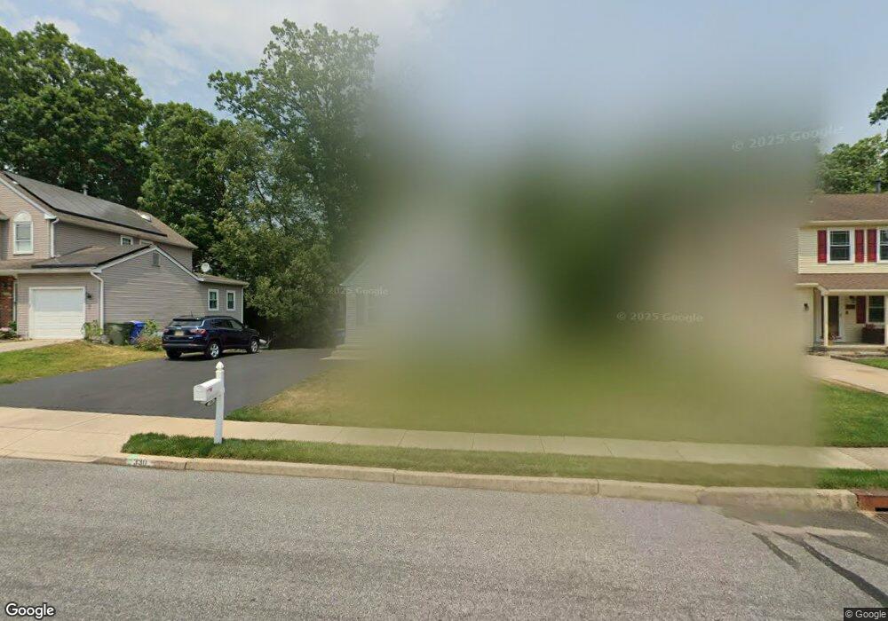
330 Whethersfield Dr Glassboro, NJ 08028
Estimated Value: $314,000 - $340,000
--
Bed
--
Bath
1,369
Sq Ft
$239/Sq Ft
Est. Value
About This Home
This home is located at 330 Whethersfield Dr, Glassboro, NJ 08028 and is currently estimated at $327,154, approximately $238 per square foot. 330 Whethersfield Dr is a home located in Gloucester County with nearby schools including J Harvey Rodgers School, Dorothy L Bullock Elementary, and Glassboro Intermediate School.
Ownership History
Date
Name
Owned For
Owner Type
Purchase Details
Closed on
Aug 31, 2007
Sold by
Knott John E and Knott Madeleine N
Bought by
Talvacchio Christopher J
Current Estimated Value
Home Financials for this Owner
Home Financials are based on the most recent Mortgage that was taken out on this home.
Original Mortgage
$154,178
Outstanding Balance
$98,263
Interest Rate
6.7%
Mortgage Type
FHA
Estimated Equity
$228,891
Create a Home Valuation Report for This Property
The Home Valuation Report is an in-depth analysis detailing your home's value as well as a comparison with similar homes in the area
Home Values in the Area
Average Home Value in this Area
Purchase History
| Date | Buyer | Sale Price | Title Company |
|---|---|---|---|
| Talvacchio Christopher J | $156,600 | Group 21 Title Agency |
Source: Public Records
Mortgage History
| Date | Status | Borrower | Loan Amount |
|---|---|---|---|
| Open | Talvacchio Christopher J | $154,178 |
Source: Public Records
Tax History Compared to Growth
Tax History
| Year | Tax Paid | Tax Assessment Tax Assessment Total Assessment is a certain percentage of the fair market value that is determined by local assessors to be the total taxable value of land and additions on the property. | Land | Improvement |
|---|---|---|---|---|
| 2025 | $6,125 | $174,000 | $64,500 | $109,500 |
| 2024 | $6,088 | $174,000 | $64,500 | $109,500 |
| 2023 | $6,088 | $174,000 | $64,500 | $109,500 |
| 2022 | $6,027 | $174,000 | $64,500 | $109,500 |
| 2021 | $6,130 | $174,000 | $64,500 | $109,500 |
| 2020 | $6,165 | $174,000 | $64,500 | $109,500 |
| 2019 | $6,175 | $174,000 | $64,500 | $109,500 |
| 2018 | $6,179 | $174,000 | $64,500 | $109,500 |
| 2017 | $6,208 | $174,000 | $64,500 | $109,500 |
| 2016 | $6,029 | $174,000 | $64,500 | $109,500 |
| 2015 | $5,899 | $174,000 | $64,500 | $109,500 |
| 2014 | $5,765 | $174,000 | $64,500 | $109,500 |
Source: Public Records
Map
Nearby Homes
- 6 Breckenwood Place
- 7 Pintail Dr
- 8 Merganser Ct
- 77 Pintail Dr
- 320 Alfred Ave
- 409 Pewter Ct
- 65 Hetton Ct
- 4 Wood Lake Ct
- 76 Lupus Ln
- 309 Overbrook Ave
- 333 New St E
- 20 Dressage Dr
- 71 Yellowwood Ct
- 104 Wright Ave
- 2 Argo Dr
- 19 Plum Tree Dr
- 19 S Mars Dr
- 19 Intrepid Dr
- 184 Pitman Downer Rd
- 219 Loring Ct Unit 219
- 332 Whethersfield Dr
- 328 Whethersfield Dr
- 326 Whethersfield Dr
- 334 Whethersfield Dr
- 325 Whethersfield Dr
- 8 Breckenwood Place
- 336 Whethersfield Dr
- 324 Whethersfield Dr
- 323 Whethersfield Dr
- 10 Breckenwood Place
- 338 Whethersfield Dr
- 24 Hardwood Ct
- 40 Hayslope Ct
- 322 Whethersfield Dr
- 38 Hayslope Ct
- 28 Snowfield Dr
- 42 Hayslope Ct
- 321 Whethersfield Dr
- 36 Hayslope Ct
- 12 Breckenwood Place