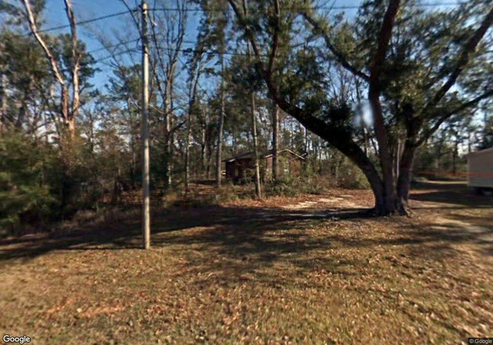
3300 Biggs Rd Moss Point, MS 39562
Estimated Value: $50,783 - $136,000
Studio
1
Bath
600
Sq Ft
$173/Sq Ft
Est. Value
About This Home
This home is located at 3300 Biggs Rd, Moss Point, MS 39562 and is currently estimated at $103,946, approximately $173 per square foot. 3300 Biggs Rd is a home located in Jackson County with nearby schools including East Central Lower Elementary School, East Central Upper Elementary School, and East Central Middle School.
Ownership History
Date
Name
Owned For
Owner Type
Purchase Details
Closed on
May 18, 2023
Sold by
Green Christopher O
Bought by
Green Kashala L
Current Estimated Value
Purchase Details
Closed on
May 6, 2016
Sold by
Massey John and Green Christopher O
Bought by
Green Christopher O and Green Kashala L
Purchase Details
Closed on
Jun 25, 2014
Sold by
Hure Floyd Hure Floyd
Bought by
Massey John
Create a Home Valuation Report for This Property
The Home Valuation Report is an in-depth analysis detailing your home's value as well as a comparison with similar homes in the area
Purchase History
| Date | Buyer | Sale Price | Title Company |
|---|---|---|---|
| Green Kashala L | -- | Island Winds Title | |
| Green Kashala L | -- | Island Winds Title | |
| Green Christopher O | -- | None Available | |
| Massey John | $14,280 | -- |
Source: Public Records
Tax History
| Year | Tax Paid | Tax Assessment Tax Assessment Total Assessment is a certain percentage of the fair market value that is determined by local assessors to be the total taxable value of land and additions on the property. | Land | Improvement |
|---|---|---|---|---|
| 2025 | $517 | $4,348 | $1,727 | $2,621 |
| 2024 | $517 | $4,305 | $1,680 | $2,625 |
| 2023 | $517 | $4,305 | $1,680 | $2,625 |
| 2022 | $502 | $4,305 | $1,680 | $2,625 |
| 2021 | $507 | $4,350 | $1,680 | $2,670 |
| 2020 | $514 | $4,256 | $1,527 | $2,729 |
| 2019 | $509 | $4,256 | $1,527 | $2,729 |
| 2018 | $493 | $4,050 | $1,527 | $2,523 |
| 2017 | $502 | $4,050 | $1,527 | $2,523 |
| 2016 | $369 | $3,104 | $1,527 | $1,577 |
| 2015 | $249 | $13,900 | $10,180 | $3,720 |
| 2014 | $252 | $2,142 | $1,527 | $615 |
| 2013 | $243 | $2,142 | $1,527 | $615 |
Source: Public Records
Map
Nearby Homes
- 17209 Red Top Ln
- 3016 Ed Parker Rd
- 19500 Angel Ln
- 14004 Timber Ridge Dr
- 0 Grafe Homestead Rd Unit 4137349
- 19506 Highway 63
- 13875 Wolf Ridge Rd Unit LotWP001
- 0 Perry St
- 4432 Lily Patch Ln
- 3601 Sandy Bayou Rd
- 7201 Bentwood Dr
- 0 Ms-613 Hwy Unit 4116583
- 0 Ms-613 Hwy Unit 4107607
- 0 Ms-613 Hwy Unit 4107612
- 0 Ms-613 Hwy Unit 4116582
- 26.1 Acres Brinkman Rd E
- 0 R B Dickerson Rd
- 20700 Cameron Ln
- 0 Dr Unit 4052148
- 17500 Goff Farm Rd
- 3403 Biggs Rd
- 16413 Kelly Ct
- 16521 Kelly Ct
- 16401 Kelly Ct
- 16400 Kelly Ct
- 3200 Wells Ln
- 16309 Mclean Rd
- 16325 Kelly Ct
- 16304 Mclean Rd
- 16305 Mclean Rd
- 3428 Big Point Rd
- 3100 Wells Ln
- 3101 Wells Ln
- 3335 Big Point Rd
- 3335 Big Point Rd
- 3335 Big Point Rd Unit 1
- 3412 Big Point Rd
- 3333 Big Point Rd
- 16231 Mclean Rd
- 16613 Gravel Ave
Your Personal Tour Guide
Ask me questions while you tour the home.