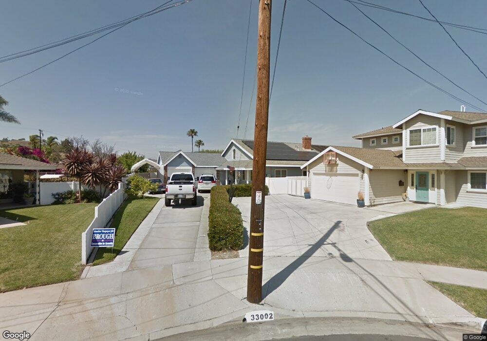
33002 Palo Alto St Dana Point, CA 92629
Del Obispo NeighborhoodEstimated Value: $1,607,000 - $1,835,000
3
Beds
2
Baths
2,538
Sq Ft
$694/Sq Ft
Est. Value
About This Home
This home is located at 33002 Palo Alto St, Dana Point, CA 92629 and is currently estimated at $1,761,992, approximately $694 per square foot. 33002 Palo Alto St is a home located in Orange County with nearby schools including Del Obispo Elementary School, Marco Forster Middle School, and Dana Hills High School.
Ownership History
Date
Name
Owned For
Owner Type
Purchase Details
Closed on
Apr 5, 2005
Sold by
Bistline Thomas N and Bistline Bonnie M
Bought by
Bistline Thomas N and Bistline Bonnie M
Current Estimated Value
Home Financials for this Owner
Home Financials are based on the most recent Mortgage that was taken out on this home.
Original Mortgage
$260,000
Outstanding Balance
$134,084
Interest Rate
5.77%
Mortgage Type
New Conventional
Estimated Equity
$1,627,908
Purchase Details
Closed on
Nov 1, 1993
Sold by
Bistline Thomas Nesbitt and Bistline Bonnie Marie
Bought by
Bistline Thomas N and Bistline Bonnie M
Create a Home Valuation Report for This Property
The Home Valuation Report is an in-depth analysis detailing your home's value as well as a comparison with similar homes in the area
Home Values in the Area
Average Home Value in this Area
Purchase History
| Date | Buyer | Sale Price | Title Company |
|---|---|---|---|
| Bistline Thomas N | -- | -- | |
| Bistline Thomas N | -- | Southland Title Corporation | |
| Bistline Thomas N | -- | Commonwealth Land Title |
Source: Public Records
Mortgage History
| Date | Status | Borrower | Loan Amount |
|---|---|---|---|
| Open | Bistline Thomas N | $260,000 |
Source: Public Records
Tax History Compared to Growth
Tax History
| Year | Tax Paid | Tax Assessment Tax Assessment Total Assessment is a certain percentage of the fair market value that is determined by local assessors to be the total taxable value of land and additions on the property. | Land | Improvement |
|---|---|---|---|---|
| 2025 | $3,979 | $174,234 | $27,532 | $146,702 |
| 2024 | $3,979 | $170,818 | $26,992 | $143,826 |
| 2023 | $3,766 | $167,469 | $26,463 | $141,006 |
| 2022 | $3,042 | $164,186 | $25,944 | $138,242 |
| 2021 | $2,563 | $160,967 | $25,435 | $135,532 |
| 2020 | $2,428 | $159,317 | $25,174 | $134,143 |
| 2019 | $2,371 | $156,194 | $24,681 | $131,513 |
| 2018 | $2,293 | $153,132 | $24,197 | $128,935 |
| 2017 | $2,210 | $150,130 | $23,723 | $126,407 |
| 2016 | $2,127 | $147,187 | $23,258 | $123,929 |
| 2015 | $2,408 | $144,977 | $22,909 | $122,068 |
| 2014 | $2,323 | $142,138 | $22,461 | $119,677 |
Source: Public Records
Map
Nearby Homes
- 32972 Paseo Miraflores
- 32862 Bluffside Dr
- 32791 Del Obispo St
- 33095 Regatta Ct
- 32672 Alta Pine Ln
- 32602 Deadwood Dr
- 25572 Purple Sage Ln
- 25571 Via Inez Rd
- 32481 Spyglass Ct
- 26000 Avenida Aeropuerto Unit 55
- 26000 Avenida Aeropuerto Unit 155
- 26000 Avenida Aeropuerto Unit 148
- 26000 Avenida Aeropuerto Unit 38
- 33651 Surfside Dr Unit 41
- 5 Old Ranch Rd
- 33144 Ocean Ridge
- 33121 Ocean Ridge
- 15 Glastonbury Place
- 33113 Ocean Ridge
- 33371 Cheltam Way Unit 3
- 25432 Westborne Dr
- 983 Palo Alto St
- 1010 Palo Alto St
- 33001 Palo Alto St
- 33012 Palo Alto St
- 25422 Westborne Dr
- 25412 Westborne Dr
- 33031 Palo Alto St
- 33032 Palo Alto St
- 25442 Westborne Dr
- 25371 Yacht Dr
- 33052 Palo Alto St
- 25452 Westborne Dr
- 25431 Westborne Dr
- 25392 Westborne Dr
- 32942 Staysail Dr
- 25361 Yacht Dr
- 33062 Palo Alto St
- 25382 Yacht Dr
- 32392 Harvest Dr