33003 S Kropf Rd Molalla, OR 97038
Estimated Value: $1,066,000 - $1,655,417
3
Beds
1
Bath
2,984
Sq Ft
$466/Sq Ft
Est. Value
About This Home
This home is located at 33003 S Kropf Rd, Molalla, OR 97038 and is currently estimated at $1,390,806, approximately $466 per square foot. 33003 S Kropf Rd is a home located in Clackamas County.
Ownership History
Date
Name
Owned For
Owner Type
Purchase Details
Closed on
Jun 24, 2010
Sold by
Swartout Janet I and Olson Merlyn L
Bought by
Millar Benjamin R and Millar Kyle J
Current Estimated Value
Home Financials for this Owner
Home Financials are based on the most recent Mortgage that was taken out on this home.
Original Mortgage
$288,700
Outstanding Balance
$192,172
Interest Rate
4.91%
Mortgage Type
New Conventional
Estimated Equity
$1,198,634
Purchase Details
Closed on
Feb 3, 2007
Sold by
Olson Esther R
Bought by
Olson Esther R and Swartout Janet I
Create a Home Valuation Report for This Property
The Home Valuation Report is an in-depth analysis detailing your home's value as well as a comparison with similar homes in the area
Home Values in the Area
Average Home Value in this Area
Purchase History
| Date | Buyer | Sale Price | Title Company |
|---|---|---|---|
| Millar Benjamin R | $385,000 | First Amer Title Ins Co Or | |
| Olson Esther R | -- | None Available |
Source: Public Records
Mortgage History
| Date | Status | Borrower | Loan Amount |
|---|---|---|---|
| Open | Millar Benjamin R | $288,700 |
Source: Public Records
Tax History Compared to Growth
Tax History
| Year | Tax Paid | Tax Assessment Tax Assessment Total Assessment is a certain percentage of the fair market value that is determined by local assessors to be the total taxable value of land and additions on the property. | Land | Improvement |
|---|---|---|---|---|
| 2025 | $8,256 | $647,644 | -- | -- |
| 2024 | $8,033 | $628,910 | -- | -- |
| 2023 | $8,033 | $610,721 | $0 | $0 |
| 2022 | $5,872 | $547,242 | $0 | $0 |
| 2021 | $5,598 | $531,426 | $0 | $0 |
| 2020 | $5,444 | $516,071 | $0 | $0 |
| 2019 | $4,765 | $451,855 | $0 | $0 |
| 2018 | $1,414 | $133,957 | $0 | $0 |
| 2017 | $1,375 | $130,175 | $0 | $0 |
| 2016 | $1,287 | $126,517 | $0 | $0 |
| 2015 | $1,251 | $122,947 | $0 | $0 |
| 2014 | $1,211 | $119,494 | $0 | $0 |
Source: Public Records
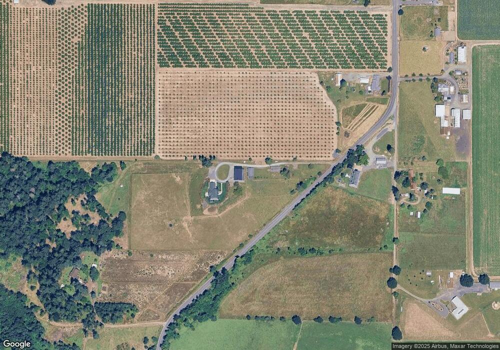
Map
Nearby Homes
- 30700 S Highway 170
- 10285 S Rosewood Way
- 30413 S Stuwe Rd
- 30593 S Elisha Rd
- 35267 S Acer Ln
- 36175 S Highway 213
- 31514 S Bear Meadow Ct
- 29474 S Highway 170
- 6150 S Miller Rd
- 15145 Woodburn Monitor Rd NE
- 31430 Oregon 213
- 1522 W Main St
- 9924 S Wildcat Rd
- 14604 Woodburn Monitor Rd NE
- 1406 W Main St
- 33953 Oregon 213
- 37658 S Highway 213
- 37486 S Highway 213 (Adj To)
- 37486 S Hwy 213 (Adj To)
- 1014 S View Dr
- 32991 S Kropf Rd
- 32991 S Kropf Rd
- 33002 S Kropf Rd
- 32921 S Kropf Rd
- 32893 S Kropf Rd Unit RD
- 32914 S Kropf Rd
- 32773 S Kropf Rd
- 32769 S Kropf Rd
- 32822 S Kropf Rd
- 33222 S Kropf Rd
- 33187 S Kropf Rd
- 32612 S Kropf Rd
- 9096 S Schneider Rd
- 8950 S Schneider Rd
- 8600 S Schneider Rd
- 32460 S Kropf Rd
- 8951 S Schneider Rd
- 32450 S Kropf Rd
- 9051 S Schneider Rd
- 8515 S Schneider Rd