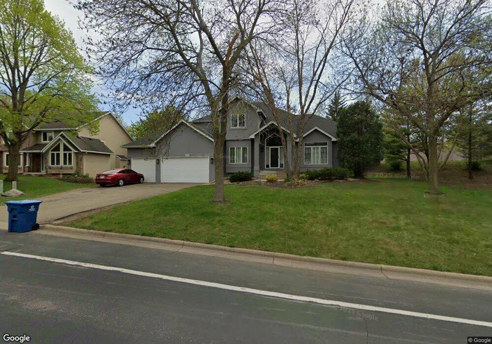
3301 E Burnsville Pkwy Burnsville, MN 55337
Estimated Value: $588,000 - $609,029
4
Beds
4
Baths
3,775
Sq Ft
$159/Sq Ft
Est. Value
About This Home
This home is located at 3301 E Burnsville Pkwy, Burnsville, MN 55337 and is currently estimated at $600,757, approximately $159 per square foot. 3301 E Burnsville Pkwy is a home located in Dakota County with nearby schools including William Byrne Elementary School, Burnsville High School, and Gateway STEM Academy.
Ownership History
Date
Name
Owned For
Owner Type
Purchase Details
Closed on
Oct 6, 2021
Sold by
Hazen Theresa M
Bought by
Underwood Darshae
Current Estimated Value
Home Financials for this Owner
Home Financials are based on the most recent Mortgage that was taken out on this home.
Original Mortgage
$503,500
Interest Rate
2.99%
Mortgage Type
New Conventional
Purchase Details
Closed on
Apr 6, 2009
Sold by
Hazen Todd M
Bought by
Hazen Therese M
Home Financials for this Owner
Home Financials are based on the most recent Mortgage that was taken out on this home.
Original Mortgage
$328,000
Interest Rate
5.11%
Mortgage Type
New Conventional
Create a Home Valuation Report for This Property
The Home Valuation Report is an in-depth analysis detailing your home's value as well as a comparison with similar homes in the area
Home Values in the Area
Average Home Value in this Area
Purchase History
| Date | Buyer | Sale Price | Title Company |
|---|---|---|---|
| Underwood Darshae | $530,000 | Minnesota Title | |
| Hazen Therese M | $186,327 | -- |
Source: Public Records
Mortgage History
| Date | Status | Borrower | Loan Amount |
|---|---|---|---|
| Previous Owner | Underwood Darshae | $503,500 | |
| Previous Owner | Hazen Therese M | $328,000 |
Source: Public Records
Tax History Compared to Growth
Tax History
| Year | Tax Paid | Tax Assessment Tax Assessment Total Assessment is a certain percentage of the fair market value that is determined by local assessors to be the total taxable value of land and additions on the property. | Land | Improvement |
|---|---|---|---|---|
| 2024 | $6,452 | $543,600 | $156,800 | $386,800 |
| 2023 | $6,452 | $539,000 | $157,000 | $382,000 |
| 2022 | $5,172 | $530,400 | $156,600 | $373,800 |
| 2021 | $5,170 | $480,100 | $151,700 | $328,400 |
| 2020 | $5,398 | $439,700 | $144,500 | $295,200 |
| 2019 | $5,416 | $442,000 | $137,600 | $304,400 |
| 2018 | $6,298 | $420,500 | $131,000 | $289,500 |
| 2017 | $5,213 | $418,800 | $124,800 | $294,000 |
| 2016 | $5,484 | $382,800 | $118,900 | $263,900 |
| 2015 | $5,237 | $385,898 | $114,716 | $271,182 |
| 2014 | -- | $383,718 | $112,472 | $271,246 |
| 2013 | -- | $362,572 | $102,505 | $260,067 |
Source: Public Records
Map
Nearby Homes
- 12625 Sable Dr
- 12640 Tiffany Ct
- 3017 Rainier Ct
- 188 River Woods Ln
- 146 River Woods Ln
- 145 River Woods Ln
- 101 Hidden Meadow Ct
- 108 Hidden Meadow Rd
- 247 River Woods Ln
- 55 River Woods Ln
- 221 River Woods Ln
- 109 Cimarron Ct
- 2708 Lassen Ct
- 72 River Woods Ln
- 319 River Woods Ln
- 2400 E 125th St
- 2300 Villaburne Ct W
- 12068 Gantry Ln
- 4774 Slater Rd
- 3309 Red Oak Cir N
- 12621 Sable Dr
- 3305 E Burnsville Pkwy
- 3300 E Burnsville Pkwy
- 3309 E Burnsville Pkwy
- 3304 E Burnsville Pkwy
- 12629 Sable Dr
- 12609 33rd Ave S
- 3313 E Burnsville Pkwy
- 12620 Sable Dr
- 3309 E 126th St
- 3311 E 126th St
- 3308 E Burnsville Pkwy
- 12624 Sable Dr
- 12633 Sable Dr
- 12604 33rd Ave S
- 12620 Diamond Dr
- 3313 E 126th St
- 12628 Sable Dr
- 12637 Sable Dr
- 3307 E 126th St