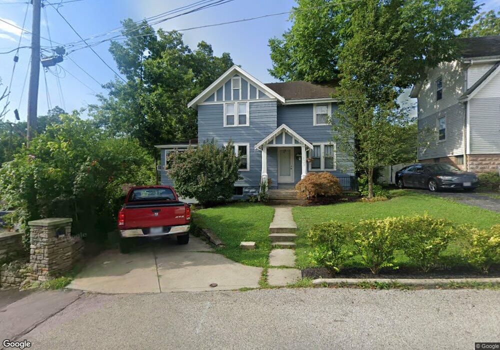
3303 Hader Ave Cincinnati, OH 45211
South Monfort Heights NeighborhoodEstimated Value: $169,000 - $209,000
2
Beds
2
Baths
1,288
Sq Ft
$150/Sq Ft
Est. Value
About This Home
This home is located at 3303 Hader Ave, Cincinnati, OH 45211 and is currently estimated at $193,256, approximately $150 per square foot. 3303 Hader Ave is a home located in Hamilton County with nearby schools including Cheviot Elementary School, Western Hills High School, and Gilbert A. Dater High School.
Ownership History
Date
Name
Owned For
Owner Type
Purchase Details
Closed on
Jul 15, 2009
Sold by
Kaiser Melissa D
Bought by
Fudge Eric J and Fudge Amanda R
Current Estimated Value
Home Financials for this Owner
Home Financials are based on the most recent Mortgage that was taken out on this home.
Original Mortgage
$51,058
Interest Rate
5.32%
Mortgage Type
FHA
Create a Home Valuation Report for This Property
The Home Valuation Report is an in-depth analysis detailing your home's value as well as a comparison with similar homes in the area
Home Values in the Area
Average Home Value in this Area
Purchase History
| Date | Buyer | Sale Price | Title Company |
|---|---|---|---|
| Fudge Eric J | $52,000 | Attorney |
Source: Public Records
Mortgage History
| Date | Status | Borrower | Loan Amount |
|---|---|---|---|
| Closed | Fudge Eric J | $51,058 |
Source: Public Records
Tax History Compared to Growth
Tax History
| Year | Tax Paid | Tax Assessment Tax Assessment Total Assessment is a certain percentage of the fair market value that is determined by local assessors to be the total taxable value of land and additions on the property. | Land | Improvement |
|---|---|---|---|---|
| 2024 | $2,639 | $44,888 | $8,404 | $36,484 |
| 2023 | $2,692 | $44,888 | $8,404 | $36,484 |
| 2022 | $1,412 | $19,618 | $8,327 | $11,291 |
| 2021 | $1,282 | $19,618 | $8,327 | $11,291 |
| 2020 | $1,300 | $19,618 | $8,327 | $11,291 |
| 2019 | $1,215 | $16,486 | $6,997 | $9,489 |
| 2018 | $1,217 | $16,486 | $6,997 | $9,489 |
| 2017 | $1,163 | $16,486 | $6,997 | $9,489 |
| 2016 | $1,294 | $18,019 | $6,927 | $11,092 |
| 2015 | $1,165 | $18,019 | $6,927 | $11,092 |
| 2014 | $1,173 | $18,019 | $6,927 | $11,092 |
| 2013 | $1,148 | $18,201 | $6,997 | $11,204 |
Source: Public Records
Map
Nearby Homes
- 4117 N Bend Rd Unit 8
- 4117 N Bend Rd
- 4798 N Bend Rd
- 4830 N Bend Rd
- 4808 N Bend Rd
- 4820 N Bend Rd
- 3234 Diehl Rd
- 3352 Emerald Lakes Dr Unit 1-A
- 3352 Emerald Lakes Dr
- 4375 Airycrest Ln
- 4790 N Bend Rd
- 3743 Centurion Dr
- 3325 Camvic Terrace
- 3602 Homelawn Ave
- 3640 Westwood Northern Blvd
- 3745 Reemelin Rd
- 4911 N Bend Rd
- 3579 Rackacres Dr
- 3632 Crestnoll Ln
- 3827 Boudinot Ave