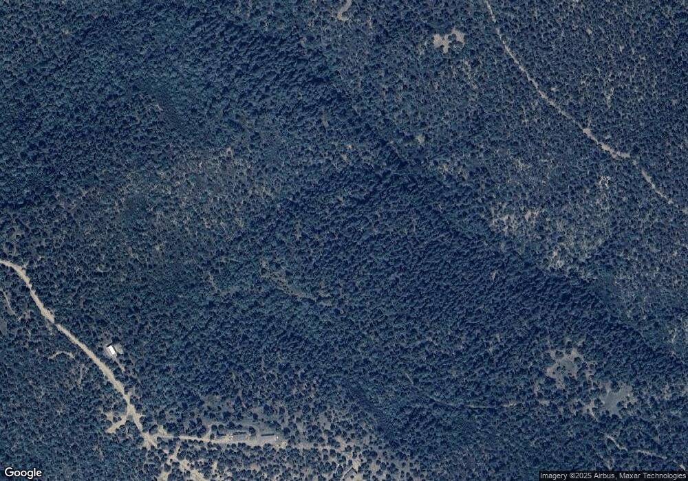
33031 Porcupine Ct Unit 4 Lot B85 Trinidad, CO 81082
Estimated Value: $225,000 - $753,000
2
Beds
2
Baths
1,596
Sq Ft
$246/Sq Ft
Est. Value
About This Home
This home is located at 33031 Porcupine Ct Unit 4 Lot B85, Trinidad, CO 81082 and is currently estimated at $392,448, approximately $245 per square foot. 33031 Porcupine Ct Unit 4 Lot B85 is a home located in Las Animas County with nearby schools including Fisher's Peak Elementary School, Trinidad Middle School, and Trinidad High School.
Ownership History
Date
Name
Owned For
Owner Type
Purchase Details
Closed on
Feb 12, 2025
Sold by
Sharp George W and Sharp Judith B
Bought by
Hall Charles E and Todd Jerry E
Current Estimated Value
Purchase Details
Closed on
Aug 20, 2013
Sold by
Sharp Family Trust
Bought by
Sharp George W and Sharp Judith B
Home Financials for this Owner
Home Financials are based on the most recent Mortgage that was taken out on this home.
Original Mortgage
$137,000
Interest Rate
4.53%
Mortgage Type
New Conventional
Purchase Details
Closed on
Dec 29, 2010
Sold by
Gahlu Dagney Dyan
Bought by
Sharp Family Trust
Home Financials for this Owner
Home Financials are based on the most recent Mortgage that was taken out on this home.
Original Mortgage
$136,000
Interest Rate
4.36%
Mortgage Type
New Conventional
Create a Home Valuation Report for This Property
The Home Valuation Report is an in-depth analysis detailing your home's value as well as a comparison with similar homes in the area
Home Values in the Area
Average Home Value in this Area
Purchase History
| Date | Buyer | Sale Price | Title Company |
|---|---|---|---|
| Hall Charles E | $220,000 | None Listed On Document | |
| Sharp George W | -- | None Available | |
| Sharp Family Trust | $170,000 | None Available |
Source: Public Records
Mortgage History
| Date | Status | Borrower | Loan Amount |
|---|---|---|---|
| Previous Owner | Sharp George W | $137,000 | |
| Previous Owner | Sharp Family Trust | $136,000 |
Source: Public Records
Tax History Compared to Growth
Tax History
| Year | Tax Paid | Tax Assessment Tax Assessment Total Assessment is a certain percentage of the fair market value that is determined by local assessors to be the total taxable value of land and additions on the property. | Land | Improvement |
|---|---|---|---|---|
| 2025 | $299 | $20,250 | $770 | $19,480 |
| 2024 | $299 | $18,380 | $630 | $17,750 |
| 2023 | $299 | $7,730 | $520 | $7,210 |
| 2022 | $619 | $16,840 | $550 | $16,290 |
| 2021 | $628 | $17,350 | $590 | $16,760 |
| 2020 | $615 | $17,330 | $570 | $16,760 |
| 2019 | $6 | $17,330 | $570 | $16,760 |
| 2018 | $636 | $17,880 | $1,010 | $16,870 |
| 2017 | $636 | $17,880 | $0 | $0 |
| 2015 | $617 | $19,122 | $0 | $0 |
| 2013 | $647 | $19,080 | $424 | $18,656 |
Source: Public Records
Map
Nearby Homes
- 3420 Currant Ct
- 33070 Mountain Meadow Overlook
- 33375 Mountain View
- 33161 Gallinas Pkwy Unit D24
- 33041 Big Springs Overlook
- 33066 Westwood Dr
- 33250 Fox Trail
- 33036 Meadow Ridge Ln
- 33022 Fisher Peak Pkwy
- 33000 Timber Park Dr
- 33000 Timber Park Dr Unit D42
- 33191 Elk Park Rd Unit C44
- 33191 Elk Park Rd
- 33247 Fishers Peak Pkwy
- 33103 Little Bear Dr
- 33001 Oak Way
- 0 Raton Overlook Unit 25259920
- 33154 Oak Park Dr
- 33186 Little Bear Dr
- 33822 Fishers Peak Pkwy
- 33031 Porcupine Ct Unit B-85, U-4 SFTR
- 33031 Porcupine Ct
- 0 Porcupine Ct Unit Lot B84
- 33030 Porcupine Ct
- 33420 Mountain View
- 33039 Engleman Ct
- 33039 Engleman Ct Unit D-19 7A
- 339 Engleman Cir Unit Parcel D16
- 33020 Currant Ct
- 33436 Mountain View Unit lot B83
- 33436 Mountain View Unit B83
- 19905 Spruce Ln
- 309 Mountain View Unit C42
- 33005 Sunset Dr
- 0 Mountain View Unit 23326189
- 0 Mountain View Unit 710141
- 0 Mountain View Unit 3 Lot B-34
- 0 Mountain View Unit Santa Fe Trail Ranch
- 0 Mountain View Unit 75 & 77 08-508
- 0 Mountain View Unit B36 22-407
