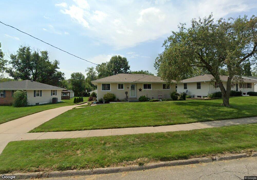
3304 Ashwood Dr Urbandale, IA 50322
Estimated Value: $264,000 - $278,000
3
Beds
2
Baths
1,082
Sq Ft
$250/Sq Ft
Est. Value
About This Home
This home is located at 3304 Ashwood Dr, Urbandale, IA 50322 and is currently estimated at $270,892, approximately $250 per square foot. 3304 Ashwood Dr is a home located in Polk County with nearby schools including Karen Acres Elementary School, Valerius Elementary School, and Urbandale Middle School.
Ownership History
Date
Name
Owned For
Owner Type
Purchase Details
Closed on
Oct 7, 1997
Sold by
Baker Michael S and Baker Sharon J
Bought by
Thomas Randy Todd and Thomas Stacey Diane
Current Estimated Value
Home Financials for this Owner
Home Financials are based on the most recent Mortgage that was taken out on this home.
Original Mortgage
$76,000
Outstanding Balance
$12,017
Interest Rate
7.7%
Estimated Equity
$258,875
Create a Home Valuation Report for This Property
The Home Valuation Report is an in-depth analysis detailing your home's value as well as a comparison with similar homes in the area
Home Values in the Area
Average Home Value in this Area
Purchase History
| Date | Buyer | Sale Price | Title Company |
|---|---|---|---|
| Thomas Randy Todd | $94,500 | -- |
Source: Public Records
Mortgage History
| Date | Status | Borrower | Loan Amount |
|---|---|---|---|
| Open | Thomas Randy Todd | $76,000 |
Source: Public Records
Tax History Compared to Growth
Tax History
| Year | Tax Paid | Tax Assessment Tax Assessment Total Assessment is a certain percentage of the fair market value that is determined by local assessors to be the total taxable value of land and additions on the property. | Land | Improvement |
|---|---|---|---|---|
| 2025 | $4,460 | $282,600 | $66,700 | $215,900 |
| 2024 | $4,460 | $256,700 | $59,600 | $197,100 |
| 2023 | $4,366 | $256,700 | $59,600 | $197,100 |
| 2022 | $4,314 | $212,400 | $51,500 | $160,900 |
| 2021 | $4,208 | $212,400 | $51,500 | $160,900 |
| 2020 | $4,132 | $196,900 | $47,700 | $149,200 |
| 2019 | $3,898 | $196,900 | $47,700 | $149,200 |
| 2018 | $3,752 | $178,000 | $42,100 | $135,900 |
| 2017 | $3,444 | $178,000 | $42,100 | $135,900 |
| 2016 | $3,356 | $161,300 | $37,800 | $123,500 |
| 2015 | $3,356 | $161,300 | $37,800 | $123,500 |
| 2014 | $3,242 | $154,800 | $35,600 | $119,200 |
Source: Public Records
Map
Nearby Homes
- 7201 Maple Dr
- 7204 Douglas Ave
- 3808 72nd St
- 3907 73rd St
- 3924 80th St
- 7051 Oak Brook Dr
- 7901 Airline Ave
- 7708 Ridgemont Dr
- 8005 Airline Ave
- 2548 Pine Cir
- 8073 Cobblestone Rd
- 8037 Cobblestone Ct
- 8006 Prairie Ave
- 8024 Cobblestone Rd
- 8008 Cobblestone Rd
- 2405 81st Cir
- 3206 68th St
- 4112 75th St
- 4100 73rd St
- 7100 Holcomb Ave
- 3308 Ashwood Dr
- 3300 Ashwood Dr
- 3402 Ashwood Dr
- 3224 Ashwood Dr
- 3406 Ashwood Dr
- 3307 Ashwood Dr
- 3311 Ashwood Dr
- 3301 Ashwood Dr
- 3229 Ashwood Dr
- 3220 Ashwood Dr
- 3410 Ashwood Dr
- 7727 Dellwood Dr
- 7723 Dellwood Dr
- 3225 Ashwood Dr
- 7708 Wilden Dr
- 7729 Dellwood Dr
- 3408 Elm Dr
- 3404 Elm Dr
- 3414 Ashwood Dr
- 7733 Dellwood Dr