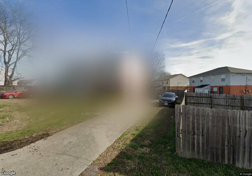
3304 Brookdale Dr Nashville, TN 37207
Bellshire Terrace NeighborhoodEstimated Value: $353,000 - $451,000
6
Beds
4
Baths
2,640
Sq Ft
$151/Sq Ft
Est. Value
About This Home
This home is located at 3304 Brookdale Dr, Nashville, TN 37207 and is currently estimated at $399,530, approximately $151 per square foot. 3304 Brookdale Dr is a home located in Davidson County with nearby schools including Bellshire Elementary Design Center, Madison Middle Prep, and Hunters Lane Comprehensive High School.
Ownership History
Date
Name
Owned For
Owner Type
Purchase Details
Closed on
Apr 8, 2010
Sold by
Fifth Third Bank Na
Bought by
M & J Partnership
Current Estimated Value
Home Financials for this Owner
Home Financials are based on the most recent Mortgage that was taken out on this home.
Original Mortgage
$536,430
Outstanding Balance
$357,635
Interest Rate
5.02%
Mortgage Type
Unknown
Estimated Equity
$41,895
Purchase Details
Closed on
Oct 17, 2001
Sold by
Kaul Sylvia A
Bought by
Kaul John D
Home Financials for this Owner
Home Financials are based on the most recent Mortgage that was taken out on this home.
Original Mortgage
$750,000
Interest Rate
6.87%
Create a Home Valuation Report for This Property
The Home Valuation Report is an in-depth analysis detailing your home's value as well as a comparison with similar homes in the area
Home Values in the Area
Average Home Value in this Area
Purchase History
| Date | Buyer | Sale Price | Title Company |
|---|---|---|---|
| M & J Partnership | $150,000 | None Available | |
| Kaul John D | $1,000,000 | -- |
Source: Public Records
Mortgage History
| Date | Status | Borrower | Loan Amount |
|---|---|---|---|
| Open | M & J Partnership | $536,430 | |
| Previous Owner | Kaul John D | $750,000 |
Source: Public Records
Tax History Compared to Growth
Tax History
| Year | Tax Paid | Tax Assessment Tax Assessment Total Assessment is a certain percentage of the fair market value that is determined by local assessors to be the total taxable value of land and additions on the property. | Land | Improvement |
|---|---|---|---|---|
| 2024 | $3,298 | $101,360 | $22,000 | $79,360 |
| 2023 | $3,298 | $101,360 | $22,000 | $79,360 |
| 2022 | $3,298 | $101,360 | $22,000 | $79,360 |
| 2021 | $3,333 | $101,360 | $22,000 | $79,360 |
| 2020 | $1,842 | $48,640 | $9,200 | $39,440 |
| 2019 | $1,340 | $48,640 | $9,200 | $39,440 |
| 2018 | $1,340 | $48,640 | $9,200 | $39,440 |
| 2017 | $1,340 | $48,640 | $9,200 | $39,440 |
| 2016 | $1,033 | $26,320 | $4,800 | $21,520 |
| 2015 | $1,033 | $26,320 | $4,800 | $21,520 |
| 2014 | $1,033 | $26,320 | $4,800 | $21,520 |
Source: Public Records
Map
Nearby Homes
- 2101 Portway Alley
- 3525 Brookway Dr
- 3529 Brookway Dr
- 1832 Apple Valley Cir
- 3625 Brookway Dr
- 4108 Walnut Ridge Dr
- 3946 Northbrook Dr
- 1937 Belle Arbor Dr
- 4113 Walnut Ridge Dr
- 4125 Walnut Ridge Dr
- 4105 Walnut Ridge Dr
- 4264 Skyridge Dr
- 4683 Ridge Bend Dr
- 143 Faraday Pass
- 1001 Cone Blvd
- 4325 Skyridge Dr
- 4348 Skyridge Dr
- Birch Plan at Thornton Grove - Single-Family Homes
- Elder Plan at Thornton Grove - Single-Family Homes
- Cedar Plan at Thornton Grove - Single-Family Homes
- 1708 Westchester Dr
- 1712 Westchester Dr
- 1704 Westchester Dr
- 2141 Portway Alley
- 2141 Portway Alley
- 2141 Portway Alley Unit 224A
- 1714 Westchester Dr
- 1302 Havenbrook Dr
- 2139 Portway Alley
- 2139 Portway Alley
- 2139 Portway Alley Unit 242B
- 2137 Portway Alley Unit 224C
- 2137 Portway Alley
- 1304 Havenbrook Dr Unit 229C
- 1304 Havenbrook Dr
- 3309 Brookdale Dr
- 3313 Brookdale Dr
- 2135 Portway Alley Unit 224D
- 2135 Portway Alley
- 1306 Havenbrook Dr
