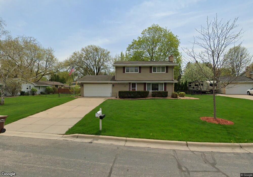
3305 Kentwood Ct Burnsville, MN 55337
Estimated Value: $387,000 - $422,000
4
Beds
3
Baths
1,664
Sq Ft
$242/Sq Ft
Est. Value
About This Home
This home is located at 3305 Kentwood Ct, Burnsville, MN 55337 and is currently estimated at $402,204, approximately $241 per square foot. 3305 Kentwood Ct is a home located in Dakota County with nearby schools including William Byrne Elementary School, Burnsville High School, and Gateway STEM Academy.
Ownership History
Date
Name
Owned For
Owner Type
Purchase Details
Closed on
May 18, 2004
Sold by
Stone Roy E and Stone Rebecca L
Bought by
Mcguire Patrick J
Current Estimated Value
Purchase Details
Closed on
Jan 17, 2002
Sold by
Muench Brian P and Muench Sara B
Bought by
Stone Roy E and Stone Rebecca L
Purchase Details
Closed on
Jul 30, 1996
Sold by
Mukai Frank M and Mukai Edna S
Bought by
Muench Brian P and Muench Sara B
Create a Home Valuation Report for This Property
The Home Valuation Report is an in-depth analysis detailing your home's value as well as a comparison with similar homes in the area
Home Values in the Area
Average Home Value in this Area
Purchase History
| Date | Buyer | Sale Price | Title Company |
|---|---|---|---|
| Mcguire Patrick J | $252,900 | -- | |
| Stone Roy E | $210,000 | -- | |
| Muench Brian P | $133,000 | -- |
Source: Public Records
Tax History Compared to Growth
Tax History
| Year | Tax Paid | Tax Assessment Tax Assessment Total Assessment is a certain percentage of the fair market value that is determined by local assessors to be the total taxable value of land and additions on the property. | Land | Improvement |
|---|---|---|---|---|
| 2024 | $3,436 | $332,100 | $86,400 | $245,700 |
| 2023 | $3,436 | $332,200 | $86,500 | $245,700 |
| 2022 | $2,854 | $323,500 | $86,200 | $237,300 |
| 2021 | $2,862 | $275,300 | $75,000 | $200,300 |
| 2020 | $2,848 | $262,800 | $71,400 | $191,400 |
| 2019 | $2,835 | $252,800 | $68,000 | $184,800 |
| 2018 | $2,851 | $230,300 | $64,800 | $165,500 |
| 2017 | $2,716 | $224,500 | $61,700 | $162,800 |
| 2016 | $2,829 | $210,900 | $58,800 | $152,100 |
| 2015 | $2,681 | $192,205 | $52,046 | $140,159 |
| 2014 | -- | $188,717 | $50,980 | $137,737 |
| 2013 | -- | $168,443 | $45,793 | $122,650 |
Source: Public Records
Map
Nearby Homes
- 11459 Galtier Dr
- 4427 Cinnamon Ridge Cir
- 4425 Cinnamon Ridge Cir
- 4413 Slater Rd
- 4463 Cinnamon Ridge Cir
- 3017 Mcleod St
- 10934 Southview Dr
- 11036 27th Ave S
- 4632 Westwood Ln
- 3309 Red Oak Cir N
- 11902 River Hills Cir
- 4370 Nicols Rd
- 11017 27th Ave S
- 4165 Old Sibley Hwy
- 2123 Cliffhill Ln
- 11921 Baypoint Dr
- 2115 Cliffview Dr
- 11900 Highland View Cir
- 3108 Foxpoint Cir
- 11115 Carver Ct
- 3303 Kentwood Ct
- 3401 Kentwood Ct
- 11504 Galtier Dr
- 11508 Galtier Dr
- 3304 Kentwood Ct
- 3304 Perrot Ln
- 11470 Galtier Dr
- 3301 Kentwood Ct
- 3308 Perrot Ln
- 3300 Perrot Ln
- 11512 Galtier Dr
- 3208 Perrot Ln
- 3302 Kentwood Ct
- 3300 Kentwood Ct
- 11468 Galtier Dr
- 11501 Galtier Dr
- 11505 Galtier Dr
- 3312 Perrot Ln
- 3204 Perrot Ln
- 11509 Galtier Dr