33053 Grit Rd Lanesboro, MN 55949
Estimated Value: $756,000 - $961,677
3
Beds
2
Baths
2,713
Sq Ft
$317/Sq Ft
Est. Value
About This Home
This home is located at 33053 Grit Rd, Lanesboro, MN 55949 and is currently estimated at $858,839, approximately $316 per square foot. 33053 Grit Rd is a home located in Fillmore County with nearby schools including Lanesboro Elementary School and Lanesboro High School.
Ownership History
Date
Name
Owned For
Owner Type
Purchase Details
Closed on
Jun 26, 2025
Sold by
Oxtrail Farm Llc and Benson Jess Reggie
Bought by
Jess Reggie Benson And Janet Colleen Benson R and Benson
Current Estimated Value
Purchase Details
Closed on
Feb 15, 2021
Sold by
Benson Jess and Benson Janet C
Bought by
Oxtrail Farm Llc
Create a Home Valuation Report for This Property
The Home Valuation Report is an in-depth analysis detailing your home's value as well as a comparison with similar homes in the area
Home Values in the Area
Average Home Value in this Area
Purchase History
| Date | Buyer | Sale Price | Title Company |
|---|---|---|---|
| Jess Reggie Benson And Janet Colleen Benson R | $500 | Nethercut Schieber Pa Legal & | |
| Oxtrail Farm Llc | -- | None Available |
Source: Public Records
Tax History Compared to Growth
Tax History
| Year | Tax Paid | Tax Assessment Tax Assessment Total Assessment is a certain percentage of the fair market value that is determined by local assessors to be the total taxable value of land and additions on the property. | Land | Improvement |
|---|---|---|---|---|
| 2025 | $4,090 | $933,400 | $355,300 | $578,100 |
| 2024 | $4,090 | $753,800 | $268,500 | $485,300 |
| 2023 | $3,976 | $753,800 | $268,500 | $485,300 |
| 2022 | $1,230 | $435,400 | $247,600 | $187,800 |
| 2021 | $1,230 | $324,800 | $223,600 | $101,200 |
| 2020 | $1,016 | $324,800 | $223,600 | $101,200 |
| 2019 | $1,014 | $309,000 | $207,000 | $102,000 |
| 2018 | $786 | $309,000 | $207,000 | $102,000 |
| 2017 | -- | $295,600 | $199,600 | $96,000 |
| 2016 | $600 | $265,800 | $173,400 | $92,400 |
| 2015 | $2,102 | $243,700 | $169,097 | $74,603 |
| 2014 | $2,102 | $797,900 | $723,297 | $74,603 |
| 2013 | $2,102 | $608,500 | $535,590 | $72,910 |
Source: Public Records
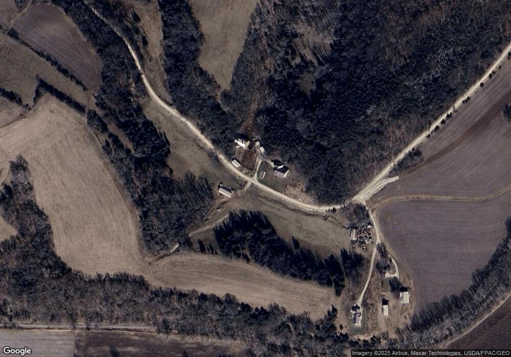
Map
Nearby Homes
- 300 Whittier St W
- 709 Rochelle Ave S
- 708 Parkway Ave S
- 105 Parkway Ave N
- 301 Kirkwood St E
- TBD State 16
- 201 Ridgeview Ln S Unit 204
- 206 Elmwood St E
- 208 Elmwood St E
- 407 Johnson Dr
- 402 Hillcrest St E
- 34760 Fawn Dr
- 34869 Fawn Dr
- TBD 331st Ave
- 20376 County Highway 19
- 20376 County 19
- Tbd State Highway 16
- 213 North St NE
- 109 Valley St NW
- 605 Lincoln St SE
- 32545 Grit Rd
- 32628 Grit Rd
- 32675 Grit Rd
- 32637 Grit Rd
- 33001 Grand Rd
- 33140 Grit Rd
- 33142 Grit Rd
- 33068 Grand Rd
- 24891 Graceful Rd
- 23826 Holly Rd
- 24997 Graceful Rd
- 23824 Holly Rd
- TBD Grit Rd
- 33381 State Hwy 16
- 103 Terrace St
- 303 Sheridan St W
- 33166 State Hwy 16
- 303 Whittier St W
- 304 Terrace St
- 304 Terrace St