3306 McDaniel Station Rd SW Adairsville, GA 30103
Estimated Value: $527,000 - $1,211,777
4
Beds
4
Baths
5,192
Sq Ft
$151/Sq Ft
Est. Value
About This Home
This home is located at 3306 McDaniel Station Rd SW, Adairsville, GA 30103 and is currently estimated at $784,592, approximately $151 per square foot. 3306 McDaniel Station Rd SW is a home located in Gordon County with nearby schools including Swain Elementary School, Ashworth Middle School, and Gordon Central High School.
Ownership History
Date
Name
Owned For
Owner Type
Purchase Details
Closed on
Jun 14, 2005
Sold by
Financial Builders Inc
Bought by
Villagrana Domelica
Current Estimated Value
Home Financials for this Owner
Home Financials are based on the most recent Mortgage that was taken out on this home.
Original Mortgage
$170,000
Interest Rate
7.88%
Mortgage Type
New Conventional
Create a Home Valuation Report for This Property
The Home Valuation Report is an in-depth analysis detailing your home's value as well as a comparison with similar homes in the area
Home Values in the Area
Average Home Value in this Area
Purchase History
| Date | Buyer | Sale Price | Title Company |
|---|---|---|---|
| Villagrana Domelica | $310,521 | -- |
Source: Public Records
Mortgage History
| Date | Status | Borrower | Loan Amount |
|---|---|---|---|
| Closed | Villagrana Domelica | $170,000 |
Source: Public Records
Tax History Compared to Growth
Tax History
| Year | Tax Paid | Tax Assessment Tax Assessment Total Assessment is a certain percentage of the fair market value that is determined by local assessors to be the total taxable value of land and additions on the property. | Land | Improvement |
|---|---|---|---|---|
| 2024 | $6,387 | $323,480 | $95,320 | $228,160 |
| 2023 | $5,972 | $307,840 | $95,320 | $212,520 |
| 2022 | $5,925 | $292,760 | $95,320 | $197,440 |
| 2021 | $5,248 | $261,400 | $95,320 | $166,080 |
| 2020 | $5,188 | $245,240 | $79,360 | $165,880 |
| 2019 | $5,201 | $245,240 | $79,360 | $165,880 |
| 2018 | $4,831 | $232,880 | $79,360 | $153,520 |
| 2017 | $4,705 | $224,360 | $79,360 | $145,000 |
| 2016 | $4,702 | $224,360 | $79,360 | $145,000 |
| 2015 | $4,636 | $231,160 | $88,920 | $142,240 |
| 2014 | $4,322 | $224,932 | $88,920 | $136,011 |
Source: Public Records
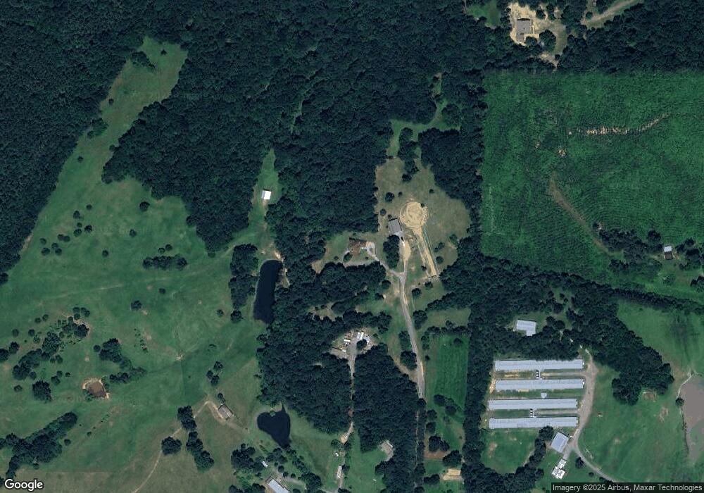
Map
Nearby Homes
- 2857 McDaniel Station Rd SW
- 3293 Rome Rd SW
- 3610 Rome Rd SW
- 154 Honeysuckle Dr SW
- 180 Honeysuckle Vine Rd
- 221 Hardin Rd SW
- 238 Lighthouse Cove SW
- 0 Woody Rd NW Unit 10634615
- 365 Riverboat Dr
- 178 Harbor Trail
- 269 Riverboat Dr
- Woodridge Plan at The Landing at Miller’s Ferry
- Kensington Plan at The Landing at Miller’s Ferry
- Northwyck Plan at The Landing at Miller’s Ferry
- Richmond Plan at The Landing at Miller’s Ferry
- Brookhaven Plan at The Landing at Miller’s Ferry
- Newport I Plan at The Landing at Miller’s Ferry
- Wesley Plan at The Landing at Miller’s Ferry
- Newport II Plan at The Landing at Miller’s Ferry
- Richardson Plan at The Landing at Miller’s Ferry
- 3305 McDaniel Station Rd SW Unit B
- 3305 McDaniel Station Rd SW Unit A
- 3275 McDaniel Station Rd SW
- 301 Robbins Creek Trail SW
- 3165 McDaniel Station Rd SW
- 3137 McDaniel Station Rd SW
- 312 Robbins Creek Trail SW
- 3152 McDaniel Station Rd SW
- 3260 McDaniel Station Rd SW
- 321 Robbins Creek Trail SW
- 3168 McDaniel Station Rd SW
- 3272 McDaniel Station Rd SW
- 00 SW McDaniel Station Rd SW
- 3087 McDaniel Station Rd SW
- 37 Shaw Rd
- 314 Robbins Creek Trail SW
- 3029 McDaniel Station Rd SW
- 310 Robbins Creek Trail SW
- 295 Robbins Creek Trail SW
- 1259 Shaw Rd SW