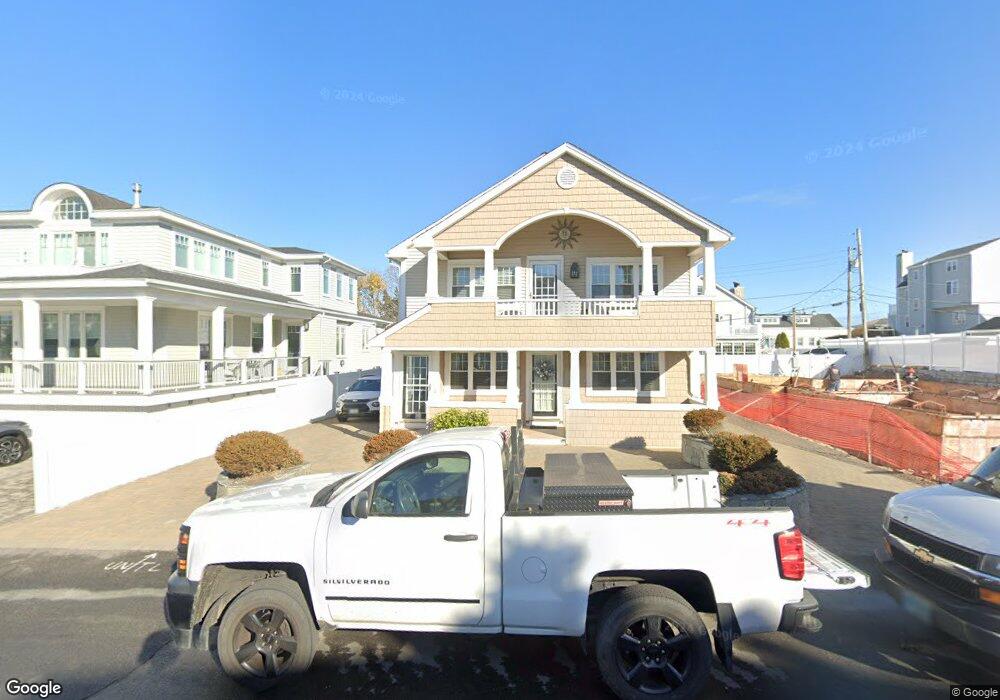
331 Ashland St Unit 2 Seabrook, NH 03874
Seabrook Beach NeighborhoodEstimated Value: $1,359,000 - $1,848,000
3
Beds
1
Bath
1,200
Sq Ft
$1,303/Sq Ft
Est. Value
About This Home
This home is located at 331 Ashland St Unit 2, Seabrook, NH 03874 and is currently estimated at $1,563,944, approximately $1,303 per square foot. 331 Ashland St Unit 2 is a home located in Rockingham County with nearby schools including Hampton Centre School, Adeline C. Marston Elementary School, and Hampton Academy.
Ownership History
Date
Name
Owned For
Owner Type
Purchase Details
Closed on
Jun 28, 2017
Sold by
Guselli Paul V and Guselli Carol L
Bought by
331 Ashland Street Llc
Current Estimated Value
Purchase Details
Closed on
Dec 13, 2016
Sold by
Caruso Maurice J and Caruso Lis
Bought by
Guselli Paul V and Guselli Carol L
Create a Home Valuation Report for This Property
The Home Valuation Report is an in-depth analysis detailing your home's value as well as a comparison with similar homes in the area
Home Values in the Area
Average Home Value in this Area
Purchase History
| Date | Buyer | Sale Price | Title Company |
|---|---|---|---|
| 331 Ashland Street Llc | -- | -- | |
| Guselli Paul V | $777,000 | -- |
Source: Public Records
Tax History Compared to Growth
Tax History
| Year | Tax Paid | Tax Assessment Tax Assessment Total Assessment is a certain percentage of the fair market value that is determined by local assessors to be the total taxable value of land and additions on the property. | Land | Improvement |
|---|---|---|---|---|
| 2024 | $15,862 | $1,353,400 | $907,200 | $446,200 |
| 2023 | $15,224 | $1,008,900 | $708,100 | $300,800 |
| 2022 | $13,368 | $1,008,900 | $708,100 | $300,800 |
| 2021 | $13,852 | $1,008,900 | $708,100 | $300,800 |
| 2020 | $12,291 | $769,600 | $538,300 | $231,300 |
| 2019 | $12,121 | $769,600 | $538,300 | $231,300 |
| 2018 | $12,119 | $745,800 | $514,500 | $231,300 |
| 2017 | $11,135 | $685,200 | $472,100 | $213,100 |
| 2016 | $9,661 | $653,200 | $472,100 | $181,100 |
| 2015 | $8,205 | $554,800 | $390,200 | $164,600 |
| 2014 | $7,884 | $516,300 | $371,300 | $145,000 |
| 2013 | $7,884 | $516,300 | $371,300 | $145,000 |
Source: Public Records
Map
Nearby Homes
- 376 Ocean Blvd
- 9 Tyngsboro St
- 18 River St
- 13-15 Ocean Blvd
- 13 Ocean Blvd
- 15 Ocean Blvd
- 3 Harris Ave
- 5 Fellows Ave
- 27 Cross Beach Rd
- 10 Haverhill Ave Unit 1
- 10 Haverhill Ave Unit 2
- 19 Riverview Terrace
- 17 Johnson Ave
- 7 Perkins Ave
- 3 Perkins Ave Unit 2
- 3 Perkins Ave Unit 1
- 27 Perkins Ave
- 128 Ashworth Ave Unit 303
- 22 Perkins Ave
- 27 Hobson Ave