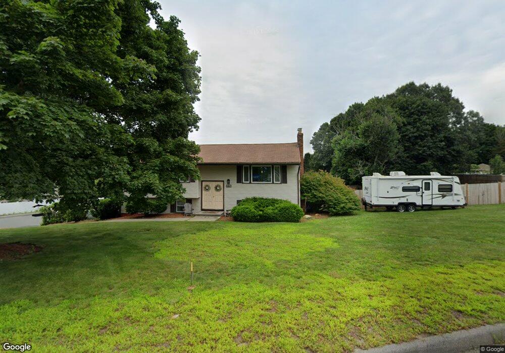
331 Hosmer St Marlborough, MA 01752
Estimated Value: $598,008 - $615,000
3
Beds
1
Bath
1,296
Sq Ft
$466/Sq Ft
Est. Value
About This Home
This home is located at 331 Hosmer St, Marlborough, MA 01752 and is currently estimated at $604,002, approximately $466 per square foot. 331 Hosmer St is a home located in Middlesex County with nearby schools including Marlborough High School, New Covenant Christian School, and Glenhaven Academy - JRI School.
Ownership History
Date
Name
Owned For
Owner Type
Purchase Details
Closed on
Jul 17, 1995
Sold by
Mcnamara Paul J and Mcnamara Ellen A
Bought by
Golden Thomas H and Golden Gale J
Current Estimated Value
Home Financials for this Owner
Home Financials are based on the most recent Mortgage that was taken out on this home.
Original Mortgage
$151,000
Interest Rate
7.7%
Mortgage Type
Purchase Money Mortgage
Purchase Details
Closed on
Apr 6, 1987
Sold by
Bourque Edmond P
Bought by
Mcnamara Paul J
Create a Home Valuation Report for This Property
The Home Valuation Report is an in-depth analysis detailing your home's value as well as a comparison with similar homes in the area
Home Values in the Area
Average Home Value in this Area
Purchase History
| Date | Buyer | Sale Price | Title Company |
|---|---|---|---|
| Golden Thomas H | $159,000 | -- | |
| Mcnamara Paul J | $194,000 | -- |
Source: Public Records
Mortgage History
| Date | Status | Borrower | Loan Amount |
|---|---|---|---|
| Open | Mcnamara Paul J | $91,000 | |
| Closed | Mcnamara Paul J | $151,000 | |
| Previous Owner | Mcnamara Paul J | $34,650 |
Source: Public Records
Tax History Compared to Growth
Tax History
| Year | Tax Paid | Tax Assessment Tax Assessment Total Assessment is a certain percentage of the fair market value that is determined by local assessors to be the total taxable value of land and additions on the property. | Land | Improvement |
|---|---|---|---|---|
| 2025 | $5,145 | $521,800 | $229,100 | $292,700 |
| 2024 | $5,009 | $489,200 | $208,400 | $280,800 |
| 2023 | $5,303 | $459,500 | $179,600 | $279,900 |
| 2022 | $5,163 | $393,500 | $171,000 | $222,500 |
| 2021 | $5,025 | $364,100 | $142,600 | $221,500 |
| 2020 | $4,898 | $345,400 | $135,800 | $209,600 |
| 2019 | $4,777 | $339,500 | $133,100 | $206,400 |
| 2018 | $4,845 | $331,200 | $115,600 | $215,600 |
| 2017 | $4,743 | $309,600 | $113,500 | $196,100 |
| 2016 | $4,613 | $300,700 | $113,500 | $187,200 |
| 2015 | $4,172 | $264,700 | $115,800 | $148,900 |
Source: Public Records
Map
Nearby Homes
- 45 Raffaele Rd
- 38 Airport Blvd
- 114 Lodi Rd
- 323 Robert Rd
- 256 Robert Rd
- 57 Paquin Dr
- 37 Hosmer St Unit 10
- 37 Hosmer St Unit 20
- 274 Naugler Ave
- 137 Naugler Ave
- 211 Stevens St
- 24 Clinton St
- 16 Clinton St
- 164 Stevens St
- 25 Walnut St
- 492 Stow Rd
- 110 Boston Post Rd E Unit 104
- 97 Cook Ln
- 315 Bolton St
- 96 Cook Ln