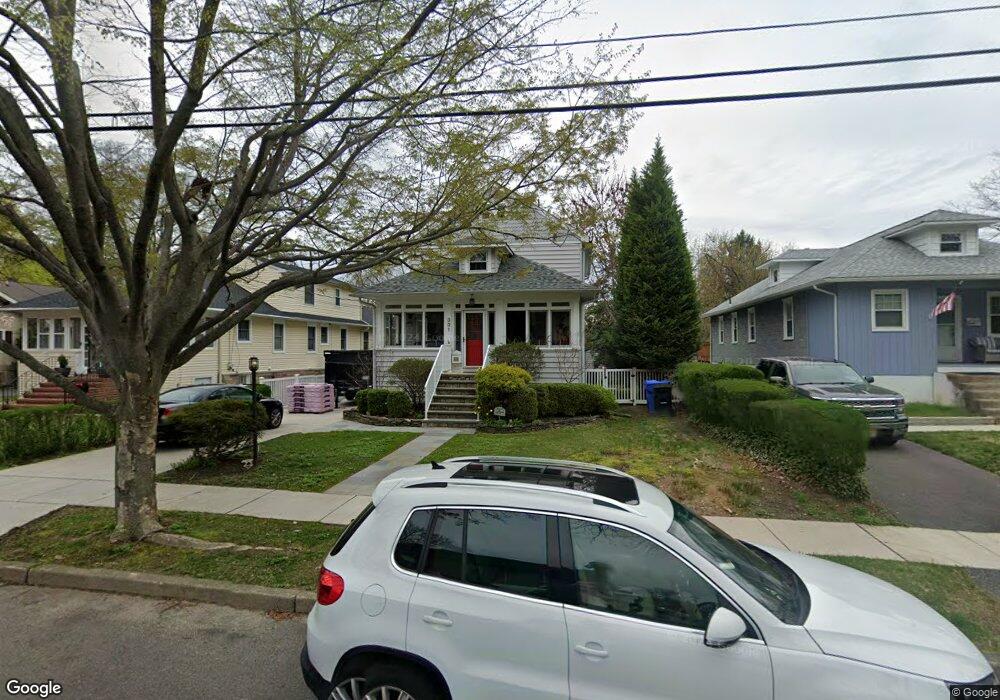
331 Kenilworth Ave Moorestown, NJ 08057
Estimated Value: $519,464 - $678,000
--
Bed
--
Bath
2,024
Sq Ft
$297/Sq Ft
Est. Value
About This Home
This home is located at 331 Kenilworth Ave, Moorestown, NJ 08057 and is currently estimated at $600,866, approximately $296 per square foot. 331 Kenilworth Ave is a home located in Burlington County with nearby schools including George C. Baker Elementary School, Moorestown Upper Elementary School, and William Allen Middle School.
Ownership History
Date
Name
Owned For
Owner Type
Purchase Details
Closed on
Jul 30, 1997
Sold by
Dubois Lester and Dubois Annie M
Bought by
Bender Peter W and Bender Juliana
Current Estimated Value
Home Financials for this Owner
Home Financials are based on the most recent Mortgage that was taken out on this home.
Original Mortgage
$78,750
Outstanding Balance
$11,762
Interest Rate
7.5%
Estimated Equity
$589,104
Create a Home Valuation Report for This Property
The Home Valuation Report is an in-depth analysis detailing your home's value as well as a comparison with similar homes in the area
Home Values in the Area
Average Home Value in this Area
Purchase History
| Date | Buyer | Sale Price | Title Company |
|---|---|---|---|
| Bender Peter W | $87,500 | Integrity Title Agency |
Source: Public Records
Mortgage History
| Date | Status | Borrower | Loan Amount |
|---|---|---|---|
| Open | Bender Peter W | $78,750 |
Source: Public Records
Tax History Compared to Growth
Tax History
| Year | Tax Paid | Tax Assessment Tax Assessment Total Assessment is a certain percentage of the fair market value that is determined by local assessors to be the total taxable value of land and additions on the property. | Land | Improvement |
|---|---|---|---|---|
| 2025 | $7,810 | $275,300 | $115,000 | $160,300 |
| 2024 | $7,574 | $275,300 | $115,000 | $160,300 |
| 2023 | $7,574 | $275,300 | $115,000 | $160,300 |
| 2022 | $7,496 | $275,300 | $115,000 | $160,300 |
| 2021 | $7,397 | $275,300 | $115,000 | $160,300 |
| 2020 | $7,351 | $275,300 | $115,000 | $160,300 |
| 2019 | $7,221 | $275,300 | $115,000 | $160,300 |
| 2018 | $7,026 | $275,300 | $115,000 | $160,300 |
| 2017 | $7,086 | $275,300 | $115,000 | $160,300 |
| 2016 | $7,061 | $275,300 | $115,000 | $160,300 |
| 2015 | $6,976 | $275,300 | $115,000 | $160,300 |
| 2014 | $6,624 | $275,300 | $115,000 | $160,300 |
Source: Public Records
Map
Nearby Homes
- 313 Fairview Ave
- 316 W 3rd St
- 420 Park Blvd
- 493 N Church St
- 316 Farmdale Rd
- 543 Bethel Ave
- 4 W Close
- 1 Circle Dr
- 10 E Close Unit 10EAST
- 601 Stratford Dr
- 129 S Church St
- 602 Windsor Place
- 5 Collins Mill Ct
- 8 Collins Mill Ct
- 18 S Close Unit 18
- 15 E 2nd St
- 8 E Oak Ave
- 308 Kenwood Dr
- 430 Highland Dr
- 12 Greenvale Rd
- 329 Kenilworth Ave
- 333 Kenilworth Ave
- 327 Kenilworth Ave
- 401 Kenilworth Ave
- 325 Kenilworth Ave
- 315 Fairview Ave
- 323 Kenilworth Ave
- 403 Kenilworth Ave
- 405 Kenilworth Ave
- 314 Fairview Ave
- 311 Fairview Ave
- 326 Kenilworth Ave
- 312 Fairview Ave
- 400 Fairview Ave
- 407 Kenilworth Ave
- 324 Kenilworth Ave
- 309 Fairview Ave
- 310 Fairview Ave
- 409 Kenilworth Ave
- 307 Fairview Ave