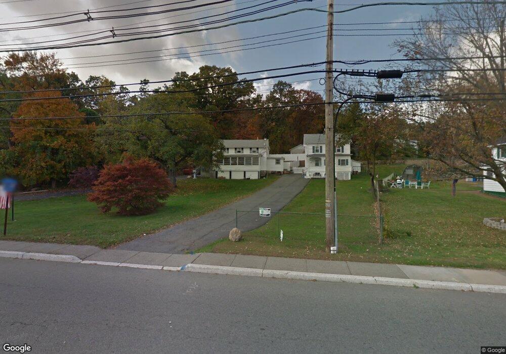
331 N Main St Wharton, NJ 07885
Estimated Value: $392,000 - $538,000
4
Beds
2
Baths
1,850
Sq Ft
$260/Sq Ft
Est. Value
About This Home
This home is located at 331 N Main St, Wharton, NJ 07885 and is currently estimated at $480,843, approximately $259 per square foot. 331 N Main St is a home located in Morris County with nearby schools including Marie V. Duffy Elementary School and A C Mac Kinnon Middle School.
Ownership History
Date
Name
Owned For
Owner Type
Purchase Details
Closed on
Jan 29, 1997
Sold by
Ford Consumer Finance Company Inc
Bought by
Jafraty Joseph A and Jafraty Patricia A
Current Estimated Value
Purchase Details
Closed on
Jun 17, 1996
Sold by
Deriggi Louis and Deriggi Geraldine
Bought by
Ford Consumer Finance Company Inc
Create a Home Valuation Report for This Property
The Home Valuation Report is an in-depth analysis detailing your home's value as well as a comparison with similar homes in the area
Home Values in the Area
Average Home Value in this Area
Purchase History
| Date | Buyer | Sale Price | Title Company |
|---|---|---|---|
| Jafraty Joseph A | $80,000 | -- | |
| Ford Consumer Finance Company Inc | -- | -- |
Source: Public Records
Tax History Compared to Growth
Tax History
| Year | Tax Paid | Tax Assessment Tax Assessment Total Assessment is a certain percentage of the fair market value that is determined by local assessors to be the total taxable value of land and additions on the property. | Land | Improvement |
|---|---|---|---|---|
| 2025 | $8,853 | $321,100 | $102,200 | $218,900 |
| 2024 | $8,338 | $299,200 | $97,900 | $201,300 |
| 2023 | $8,338 | $278,500 | $93,700 | $184,800 |
| 2022 | $7,725 | $264,200 | $93,700 | $170,500 |
| 2021 | $7,725 | $253,200 | $93,700 | $159,500 |
| 2020 | $7,499 | $241,200 | $89,400 | $151,800 |
| 2019 | $7,069 | $229,200 | $85,100 | $144,100 |
| 2018 | $6,727 | $222,600 | $85,100 | $137,500 |
| 2017 | $6,568 | $215,000 | $80,800 | $134,200 |
| 2016 | $6,121 | $215,000 | $80,800 | $134,200 |
| 2015 | $6,435 | $212,800 | $80,800 | $132,000 |
| 2014 | $6,438 | $210,600 | $80,800 | $129,800 |
Source: Public Records
Map
Nearby Homes
- 399 N Main St
- 19123 Westview Unit 19123
- 18116 Westview Unit 116E
- 18116 Westview
- 22145 Westview
- 52 W Union Turnpike
- 322 P7 Richard Mine Rd Unit 7
- 322 Richard Mine Rd
- 322 Richard Mine Rd Unit 4
- 42 Fern Ave
- 8 Baker Ave
- 10 Fernandez Ln
- 17 Anderson Rd
- 3 Sickle St
- 75 White St
- 18 Wabash Ave
- 70 Davis Ave Ab
- 78 James St
- 37 Garden Ave
- 24 Homestead Way
- 335 N Main St
- 339 N Main St
- 14 Langdon Ave Unit 1
- 101 Hillside
- 106 Hillside
- 341 N Main St
- 20 Langdon Ave
- 108 Hillside
- 9 Langdon Ave
- 26 Langdon Ave
- 349 N Main St
- 19 Langdon Ave
- 28 Langdon Ave
- 25 Langdon Ave
- 355 N Main St
- 320 E View
- 357 N Main St
- 357 N Main St Unit 2
- 315 Eastview Unit 315C
- 214 Eastview