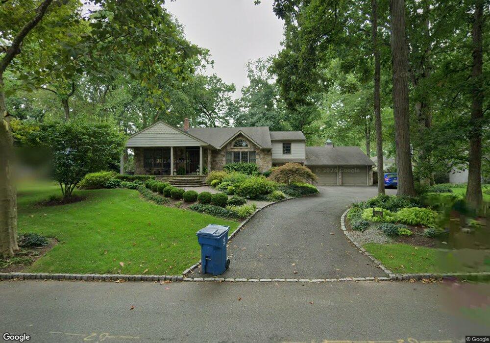
331 Rolling Rock Rd Mountainside, NJ 07092
Estimated Value: $865,640 - $1,507,000
Studio
--
Bath
2,293
Sq Ft
$479/Sq Ft
Est. Value
About This Home
This home is located at 331 Rolling Rock Rd, Mountainside, NJ 07092 and is currently estimated at $1,098,160, approximately $478 per square foot. 331 Rolling Rock Rd is a home located in Union County with nearby schools including Beechwood School, Deerfield Elementary School, and St James The Apostle School.
Ownership History
Date
Name
Owned For
Owner Type
Purchase Details
Closed on
Jun 1, 2001
Sold by
Reidy Donna C
Bought by
Demarco Mario and Randazza Julie
Current Estimated Value
Home Financials for this Owner
Home Financials are based on the most recent Mortgage that was taken out on this home.
Original Mortgage
$325,000
Interest Rate
7.08%
Purchase Details
Closed on
Dec 28, 1999
Sold by
Reidy Donna C
Bought by
Reidy Donna C
Create a Home Valuation Report for This Property
The Home Valuation Report is an in-depth analysis detailing your home's value as well as a comparison with similar homes in the area
Home Values in the Area
Average Home Value in this Area
Purchase History
| Date | Buyer | Sale Price | Title Company |
|---|---|---|---|
| Demarco Mario | $445,000 | -- | |
| Reidy Donna C | $230,100 | -- |
Source: Public Records
Mortgage History
| Date | Status | Borrower | Loan Amount |
|---|---|---|---|
| Closed | Demarco Mario | $325,000 |
Source: Public Records
Tax History
| Year | Tax Paid | Tax Assessment Tax Assessment Total Assessment is a certain percentage of the fair market value that is determined by local assessors to be the total taxable value of land and additions on the property. | Land | Improvement |
|---|---|---|---|---|
| 2025 | $12,384 | $604,100 | $310,900 | $293,200 |
| 2024 | $11,992 | $604,100 | $310,900 | $293,200 |
| 2023 | $11,992 | $603,200 | $310,900 | $292,300 |
| 2022 | $12,046 | $603,200 | $310,900 | $292,300 |
| 2021 | $11,847 | $603,200 | $310,900 | $292,300 |
| 2020 | $11,577 | $154,900 | $57,000 | $97,900 |
| 2019 | $11,638 | $154,900 | $57,000 | $97,900 |
| 2018 | $11,661 | $154,900 | $57,000 | $97,900 |
| 2017 | $11,576 | $154,900 | $57,000 | $97,900 |
| 2016 | $11,312 | $154,900 | $57,000 | $97,900 |
Source: Public Records
Map
Nearby Homes
- 1060 Sunny Slope Dr
- 427 Summit Rd
- 423 Summit Rd
- 1098 Sunny Slope Dr
- 373 Upland Rd
- 10 Tree Top Dr
- 30 High Point Dr
- 701 Mountain Ave
- 14 Skylark Rd
- 3702 Park Place
- 34 Ascot Way
- 1314 Wood Valley Rd
- 206 Echo Ridge Way
- 1906 Park Place
- 23 Diven St
- 241 Evergreen Ct
- 32 Ruby St
- 559 S Springfield Ave Unit 559
- 1 Baltusrol Place
- 29 Manitou Cir
- 327 Rolling Rock Rd
- 335 Rolling Rock Rd
- 332 Old Grove Rd
- 328 Old Grove Rd
- 330 Rolling Rock Rd
- 323 Rolling Rock Rd
- 339 Rolling Rock Rd
- 326 Rolling Rock Rd
- 334 Old Grove Rd
- 334 Rolling Rock Rd
- 324 Old Grove Rd
- 322 Rolling Rock Rd
- 338 Old Grove Rd
- 338 Rolling Rock Rd
- 343 Rolling Rock Rd
- 319 Rolling Rock Rd
- 320 Old Grove Rd
- 318 Rolling Rock Rd
- 342 Old Grove Rd
- 342 Rolling Rock Rd
Your Personal Tour Guide
Ask me questions while you tour the home.