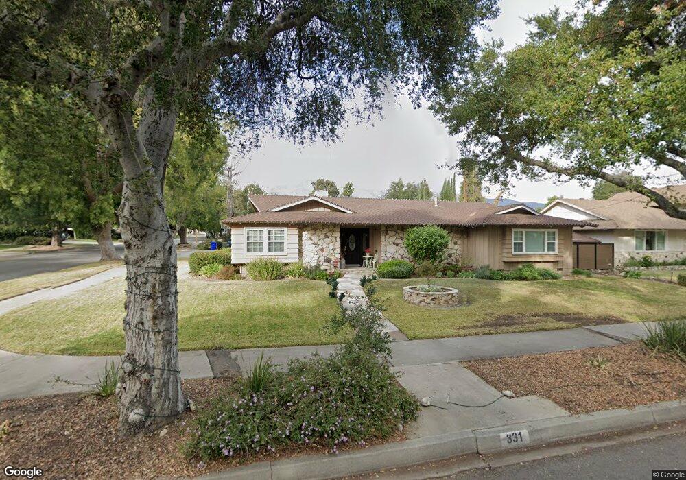
331 W 13th St Upland, CA 91786
Estimated Value: $854,000 - $973,000
3
Beds
3
Baths
2,144
Sq Ft
$430/Sq Ft
Est. Value
About This Home
This home is located at 331 W 13th St, Upland, CA 91786 and is currently estimated at $921,022, approximately $429 per square foot. 331 W 13th St is a home located in San Bernardino County with nearby schools including Magnolia Elementary, Pioneer Junior High School, and Upland High School.
Ownership History
Date
Name
Owned For
Owner Type
Purchase Details
Closed on
Feb 10, 2011
Sold by
Roper Wanda R and The Roper 1996 Family Trust
Bought by
Rodas Joel and Rodas Amanda S
Current Estimated Value
Home Financials for this Owner
Home Financials are based on the most recent Mortgage that was taken out on this home.
Original Mortgage
$404,479
Outstanding Balance
$277,955
Interest Rate
4.87%
Mortgage Type
FHA
Estimated Equity
$643,067
Purchase Details
Closed on
May 27, 1996
Sold by
Roper Bob
Bought by
Roper Bobbie J and Roper Wanda R
Create a Home Valuation Report for This Property
The Home Valuation Report is an in-depth analysis detailing your home's value as well as a comparison with similar homes in the area
Home Values in the Area
Average Home Value in this Area
Purchase History
| Date | Buyer | Sale Price | Title Company |
|---|---|---|---|
| Rodas Joel | $415,000 | Orange Coast Title Company | |
| Roper Bobbie J | -- | -- |
Source: Public Records
Mortgage History
| Date | Status | Borrower | Loan Amount |
|---|---|---|---|
| Open | Rodas Joel | $404,479 |
Source: Public Records
Tax History
| Year | Tax Paid | Tax Assessment Tax Assessment Total Assessment is a certain percentage of the fair market value that is determined by local assessors to be the total taxable value of land and additions on the property. | Land | Improvement |
|---|---|---|---|---|
| 2025 | $6,036 | $543,294 | $186,090 | $357,204 |
| 2024 | $5,845 | $532,641 | $182,441 | $350,200 |
| 2023 | $5,758 | $522,197 | $178,864 | $343,333 |
| 2022 | $5,634 | $511,958 | $175,357 | $336,601 |
| 2021 | $5,628 | $501,920 | $171,919 | $330,001 |
| 2020 | $5,475 | $496,773 | $170,156 | $326,617 |
| 2019 | $5,457 | $487,033 | $166,820 | $320,213 |
| 2018 | $5,324 | $477,483 | $163,549 | $313,934 |
| 2017 | $5,064 | $458,121 | $160,342 | $297,779 |
| 2016 | $4,845 | $449,138 | $157,198 | $291,940 |
| 2015 | $4,735 | $442,392 | $154,837 | $287,555 |
| 2014 | $4,613 | $433,726 | $151,804 | $281,922 |
Source: Public Records
Map
Nearby Homes
- 1318 N Laurel Ave
- 1234 N Laurel Ave
- 1270 N Euclid Ave
- 1403 N Tulare Way
- 910 N Redding Way Unit I
- 910 N Redding Way Unit F
- 171 E 14th St
- 855 N Palm Ave
- 762 N Vallejo Way
- 856 Altura Way
- 846 Amber Ct
- 1019 W Pine St
- 636 N Palm Ave
- 1418 Winston Ct
- 922 N 4th Ave
- 1503 N Albright Ave
- 0 Bay St Unit AR25093919
- 1089 W Pine St Unit E
- 509 N Euclid Ave
- 655 Doreen Ct
- 311 W 13th St
- 1312 N Stanford Ave
- 289 W 13th St
- 1303 N Stanford Ave
- 1309 N Stanford Ave
- 1320 N Stanford Ave
- 272 W Dayton St
- 334 W 13th St
- 1315 N Stanford Ave
- 1323 N Quince Ave
- 265 W 13th St
- 1294 N Quince Ave
- 1326 N Stanford Ave
- 415 W 13th St
- 258 W Dayton St
- 1323 N Stanford Ave
- 1251 N Quince Ave
- 1266 N Quince Ave
- 1327 N Quince Ave
- 235 W 13th St
Your Personal Tour Guide
Ask me questions while you tour the home.