Estimated Value: $419,000 - $474,000
4
Beds
3
Baths
2,720
Sq Ft
$163/Sq Ft
Est. Value
About This Home
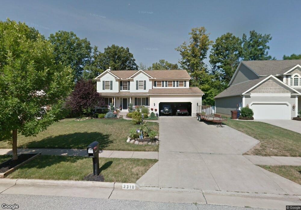
This home is located at 3310 Crown Pointe Dr, Stow, OH 44224 and is currently estimated at $443,112, approximately $162 per square foot. 3310 Crown Pointe Dr is a home located in Summit County with nearby schools including Stow-Munroe Falls High School and St Patrick Elementary School.
Ownership History
Date
Name
Owned For
Owner Type
Purchase Details
Closed on
Jul 30, 2020
Sold by
Jones Kimberly M
Bought by
Searcy Kimberly M and Searcy Charles R
Current Estimated Value
Purchase Details
Closed on
Jul 3, 2002
Sold by
Bob Bennett Construction Co Inc
Bought by
Jones Kimberly M
Home Financials for this Owner
Home Financials are based on the most recent Mortgage that was taken out on this home.
Original Mortgage
$177,840
Interest Rate
6.79%
Mortgage Type
Construction
Create a Home Valuation Report for This Property
The Home Valuation Report is an in-depth analysis detailing your home's value as well as a comparison with similar homes in the area
Home Values in the Area
Average Home Value in this Area
Purchase History
| Date | Buyer | Sale Price | Title Company |
|---|---|---|---|
| Searcy Kimberly M | -- | None Listed On Document | |
| Jones Kimberly M | $52,000 | Endress/Lawyers Title |
Source: Public Records
Mortgage History
| Date | Status | Borrower | Loan Amount |
|---|---|---|---|
| Previous Owner | Jones Kimberly M | $177,840 |
Source: Public Records
Tax History
| Year | Tax Paid | Tax Assessment Tax Assessment Total Assessment is a certain percentage of the fair market value that is determined by local assessors to be the total taxable value of land and additions on the property. | Land | Improvement |
|---|---|---|---|---|
| 2025 | $7,086 | $118,847 | $19,912 | $98,935 |
| 2024 | $6,839 | $118,847 | $19,912 | $98,935 |
| 2023 | $6,839 | $118,847 | $19,912 | $98,935 |
| 2022 | $6,678 | $102,554 | $17,168 | $85,386 |
| 2021 | $5,993 | $102,554 | $17,168 | $85,386 |
| 2020 | $5,892 | $102,560 | $17,170 | $85,390 |
| 2019 | $5,562 | $88,180 | $17,000 | $71,180 |
| 2018 | $5,336 | $88,180 | $17,000 | $71,180 |
| 2017 | $5,750 | $88,180 | $17,000 | $71,180 |
| 2016 | $5,204 | $81,170 | $17,000 | $64,170 |
| 2015 | $5,750 | $81,170 | $17,000 | $64,170 |
| 2014 | $5,856 | $81,170 | $17,000 | $64,170 |
| 2013 | $5,809 | $80,140 | $17,000 | $63,140 |
Source: Public Records
Map
Nearby Homes
- 3313 Crown Pointe Dr
- 1302 Carol Dr
- 1189 Garth Dr
- 511 Suzanne Dr
- 350 Silver Meadows Blvd
- 884 Highridge Ln
- 2738 Stockman Ct
- 3753 Lake Run Blvd
- 3767 Lake Run Blvd
- 1245 Chelton Dr
- 3874 Lake Run Blvd
- 3958 Lake Run Blvd
- 976 Kevin Dr
- 2908 Wexford Blvd
- 994 Erin Dr
- 3905 Kent Rd
- 0 Vira Rd
- 876 Middlebury Rd
- 726 Hughey Dr
- 0 Pardee Rd
- 3302 Crown Pointe Dr
- 3318 Crown Pointe Dr
- 3326 Crown Pointe Dr
- 3334 Crown Pointe Dr
- 3305 Crown Pointe Dr
- 3297 Crown Pointe Dr
- 3289 Crown Pointe Dr
- 3342 Crown Pointe Dr
- 3270 Crown Pointe Dr
- 3281 Crown Pointe Dr
- 4628 Edgewater Dr
- 3350 Crown Pointe Dr
- 3273 Crown Pointe Dr
- 4620 Edgewater Dr
- 3358 Crown Pointe Dr
- 3262 Crown Pointe Dr
- 4627 Edgewater Dr
- 3265 Crown Pointe Dr
- 3257 Crown Pointe Dr
- 4612 Edgewater Dr
Your Personal Tour Guide
Ask me questions while you tour the home.