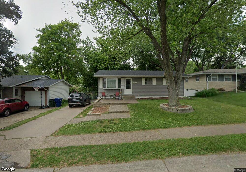
3310 Fairhaven Rd Davenport, IA 52807
North Side NeighborhoodEstimated Value: $206,453 - $237,000
3
Beds
1
Bath
949
Sq Ft
$236/Sq Ft
Est. Value
About This Home
This home is located at 3310 Fairhaven Rd, Davenport, IA 52807 and is currently estimated at $223,863, approximately $235 per square foot. 3310 Fairhaven Rd is a home located in Scott County with nearby schools including Jones Park Elementary School, Eisenhower Elementary School, and Casey County Middle School.
Ownership History
Date
Name
Owned For
Owner Type
Purchase Details
Closed on
Jun 8, 2009
Sold by
Barta William L and Barta Cinda L
Bought by
Webster Scott M and Webster Brenda L
Current Estimated Value
Purchase Details
Closed on
Dec 20, 2006
Sold by
Barta William L and Barta Cinda L
Bought by
Webster Scott M and Webster Brenda L
Create a Home Valuation Report for This Property
The Home Valuation Report is an in-depth analysis detailing your home's value as well as a comparison with similar homes in the area
Home Values in the Area
Average Home Value in this Area
Purchase History
| Date | Buyer | Sale Price | Title Company |
|---|---|---|---|
| Webster Scott M | -- | None Available | |
| Webster Scott M | -- | None Available |
Source: Public Records
Tax History Compared to Growth
Tax History
| Year | Tax Paid | Tax Assessment Tax Assessment Total Assessment is a certain percentage of the fair market value that is determined by local assessors to be the total taxable value of land and additions on the property. | Land | Improvement |
|---|---|---|---|---|
| 2025 | $2,868 | $177,230 | $26,270 | $150,960 |
| 2024 | $2,798 | $160,460 | $26,270 | $134,190 |
| 2023 | $3,132 | $160,460 | $26,270 | $134,190 |
| 2022 | $3,356 | $146,620 | $23,180 | $123,440 |
| 2021 | $3,146 | $146,620 | $23,180 | $123,440 |
| 2020 | $2,938 | $135,230 | $23,180 | $112,050 |
| 2019 | $2,864 | $127,630 | $23,180 | $104,450 |
| 2018 | $580 | $127,630 | $23,180 | $104,450 |
| 2017 | $710 | $127,630 | $23,180 | $104,450 |
| 2016 | $2,692 | $122,880 | $0 | $0 |
| 2015 | $2,692 | $108,010 | $0 | $0 |
| 2014 | $2,398 | $108,010 | $0 | $0 |
| 2013 | $2,358 | $0 | $0 | $0 |
| 2012 | -- | $107,990 | $24,440 | $83,550 |
Source: Public Records
Map
Nearby Homes
- 3315 Fairhaven Rd
- 3000 E 32nd St Unit 14
- 2805 Carriage Hill Dr
- 2501 E 34th Street Ct
- 2506 E 35th Street Ct
- 2586 E George Washington Blvd
- 3806 Lorton Ave
- 3044 Jersey Ridge Rd
- 2946 Jersey Ridge Rd
- 4005 Forest Rd
- 2130 E 38th St
- 2706 Ridgewood Ave
- 2919 E 44th Ct
- 4230 Jersey Ridge Rd
- 9 Parkwood Dr
- 2429 E Central Park Ave
- 2704 Magnolia Dr
- 2846 Magnolia Dr
- 1804 E 31st St
- 2234 Fairhaven Rd
- 3304 Fairhaven Rd
- 3316 Fairhaven Rd
- 3236 Fairhaven Rd
- 3322 Fairhaven Rd
- 3317 Forest Rd
- 3311 Forest Rd
- 3323 Forest Rd
- 3303 Forest Rd
- 3230 Fairhaven Rd
- 3328 Fairhaven Rd
- 3333 Forest Rd
- 3309 Fairhaven Rd
- 3303 Fairhaven Rd
- 3224 Fairhaven Rd
- 3323 Fairhaven Rd
- 3235 Fairhaven Rd
- 3403 Forest Rd
- 3404 Fairhaven Rd
- 3223 Forest Rd